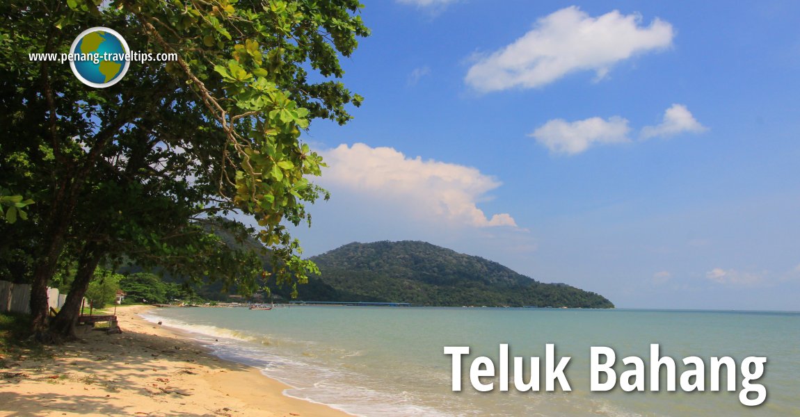
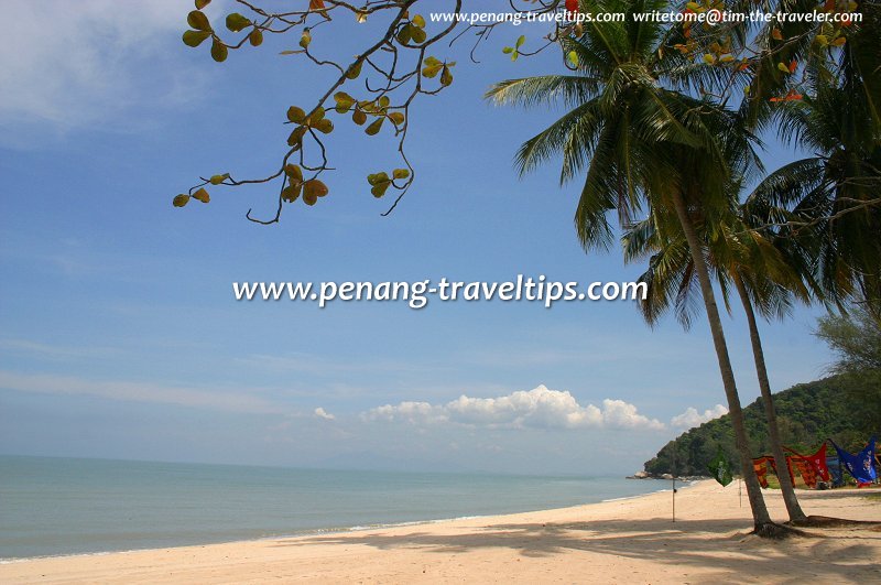
 Teluk Bahang, Penang (19 May 2012)
B. Melayu
Teluk Bahang (GPS: 5.45785, 100.21473), (Traditional/Simplified Chinese: 直落巴巷; Pinyin: Zhíluò Baxiàng) is a a fishing village at the tail-end of the coastal road on the northern side of Penang Island. The name Teluk Bahang means the "Bay of Heat Wave", probably pointing to the high temperature of the sea breeze coming in to shore. Teluk Bahang is the gateway to the Penang National Park. Until the Penang Mutiara Beach Resort opened, the only purpose of going to Teluk Bahang was to enjoy the seafood at the End of the World Restaurant. The restaurant was utterly destroyed in the tsunami of 26 December, but has since relocated to a new spot. Other than that, scouts would remember the Jamboree Camp at Teluk Bahang.
Teluk Bahang is the home of the Penang Butterfly Farm and the Teluk Bahang Recreational Forest. It has a couple of batik factories targetting the tourist market. Further inland is the Tropical Fruit Farm. Completed in 1999, the Teluk Bahang Dam offers splendid views all the way to the sea. With a storage capacity of 19.24 billion litres, it is the biggest dam on Penang Island, and doubles as a regular venue for water sports. It also holds the distinction of being the only dam in Malaysia built within a few kilometres from the sea.
Located in the hills above Teluk Bahang is the Penang National Park, which covers the whole promontory on the north west part of the island. Within the Penang National Park are many jungle treks in the hills to the northwest of Teluk Bahang. One leads to Muka Head, with a left fork to Pantai Kerachut. The sea off Teluk Bahang is not suitable for swimming, due to presence of jellyfish on account of the sewage discharged by the establishments and habitations along the coast.
Measured from the Teluk Bahang Roundabout (GPS: 5.45784, 100.21472), Teluk Bahang is 20.8 km to Komtar, 27.7 km to the Penang Bridge, 35.8 km to the Second Penang Bridge and 34.6 km to the Penang International Airport (via Balik Pulau).
 Map of Teluk Bahang, Penang
 Residential Properties in Teluk Bahang
- Residensi Teluk Bahang (GPS: 5.45687, 100.20949)

 Hotels in Teluk Bahang
- Angsana Teluk Bahang (GPS: 5.46218, 100.21997)


- Bahang Bay Hotel (GPS: 5.46001, 100.21896)

 Sights in and around Teluk Bahang
- Art & Garden by Fuan Wong (GPS: 5.41481, 100.21495)

- ESCAPE Theme Park (GPS: 5.44942, 100.21538)


- ESCAPE Waterplay (GPS: 5.44944, 100.21409)

- Hock Lok Siew Durian Estate (GPS: 5.42783, 100.2205)

- Jubilee Camp Beach (GPS: 5.46172, 100.2177)

- Masjid Jamek Teluk Bahang (GPS: 5.45637, 100.21442)

- Penang Butterfly Farm (GPS: 5.44745, 100.21563)

- Penang National Park closed (GPS: 5.45994, 100.21674)

- Penang National Park (GPS: 5.4598, 100.20268)

- Rumah Peranginan Kerajaan Pulau Pinang (GPS: 5.46372, 100.23424)

- Sri Singamuga Kaliamman Temple (GPS: 5.4467, 100.21677)

- Taman Rimba Teluk Bahang (GPS: 5.4467, 100.21677)

- Teluk Awak (GPS: 5.45965, 100.21079)

- Teluk Bahang Community Hall (GPS: 5.4572, 100.21415)

- Teluk Bahang Dam (GPS: 5.43951, 100.21337)

- Teluk Bahang Jetty (GPS: 5.46035, 100.20701)

- Teluk Bahang Roundabout (GPS: 5.45784, 100.21472)

- Teluk Bahang Tua Pek Kong Temple (GPS: 5.45819, 100.20674)

- Tropical Fruit Farm (GPS: 5.41479, 100.21694)

 Eateries and food stalls in Teluk Bahang
- End of the World Restaurant (GPS: 5.45795, 100.21448)

- Teluk Bahang Pulut Udang Stall (GPS: 5.45798, 100.21463)

Public Amenities in Teluk Bahang
- Teluk Bahang Market (GPS: 5.45722, 100.21335)

Going to Teluk Bahang
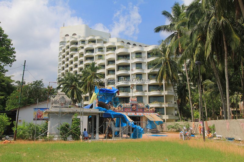
Take Rapid Penang bus 101 or 102 to reach Teluk Bahang. The now closed Mutiara Beach Resort (19 May 2012)
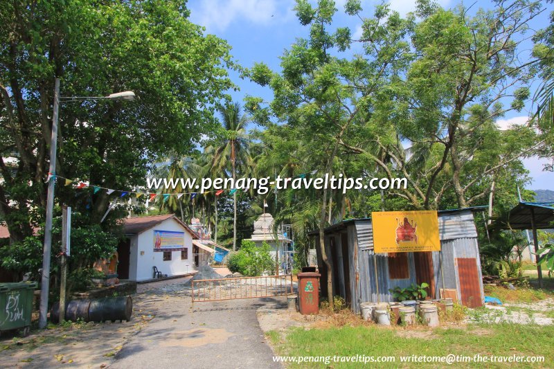
 Hindu temple on the beach of Teluk Bahang (19 May 2012)
The Tsunami Aftermath
Teluk Bahang was one of the places affected by the tsunami of 26 December 2004. The wave arrived around 12:50pm that afternoon, causing extensive damage and some loss of lives, albeit not as severe as other countries around the Indian Ocean. When the area was surveyed on 15 January 2005, we found the village has bounced back to the best of its ability. Broken piers were mended, or at least material is already on hand for reconstruction. Teluk Bahang, about three weeks after the 26 December Tsunami (15 January 2005)
List of Beaches in Penang and Beaches in Malaysia; List of Towns in Penang and Towns in Malaysia

Copyright © 2003-2025 Timothy Tye. All Rights Reserved.

 Go Back