Clarges Street, London
Clarges Street is a distinguished street in the heart of Mayfair, within the City of Westminster, London. Situated in one of the most refined areas of central London, it connects Clarges Mews in the northwest to the bustling thoroughfare of Piccadilly in the southeast.
Overview and Layout
Clarges Street stretches for approximately 300 metres (984 feet), forming a gentle southeast–northwest axis. The stretch from Clarges Mews to Curzon Street has two-way traffic, but from Curzon Street, traffic is one way exiting at Piccadilly. It is intersected mid-way by Curzon Street, while Ashburton Place branches off from the east side of the street in a T-junction arrangement. The street lies entirely within the historic and prestigious neighbourhood of Mayfair, known for its elegance, exclusivity, and high real estate value.
Name and Pronunciation
Clarges Street takes its name from the Clarges family, notable landowners in the 17th and 18th centuries. Sir Thomas Clarges (1618–1695), a prominent politician and property developer, was closely associated with this part of London. The street was laid out in the early 18th century as part of the urban expansion of Mayfair.
Clarges is pronounced CLAR-jiz, with the stress on the first syllable. IPA: /ˈklɑː.dʒɪz/ 
Character and Atmosphere
Clarges Street maintains a quiet, refined character, distinguished by a mix of Georgian and early 20th-century architecture. Buildings along the street are typically mid-rise, with a blend of historic façades and newer luxury developments. The ambience is discreet yet opulent, in keeping with Mayfair's reputation as a hub of diplomacy, wealth, and cultural sophistication.
The street is lined with private residences, embassies, and members' clubs, interspersed with select commercial premises. A growing number of luxury flats have been developed in recent years, adding to its cachet.
Nearby Roads and Connectivity
From its junction with Piccadilly, Clarges Street is within easy walking distance of Green Park and its adjoining tube station. At its midpoint, the intersection with Curzon Street provides access to notable establishments such as the Curzon Mayfair Cinema and a number of embassies. Ashburton Place links Clarges Street with Berkeley Street and Stratton Street further east.
Local Attractions and Sights
While Clarges Street itself is relatively quiet, it benefits greatly from its immediate proximity to major London sights:
- Green Park – Just steps from the Piccadilly end, one of the Royal Parks of London.
- Royal Academy of Arts – A short walk east along Piccadilly.
- Shepherd Market – A hidden gem of old-world charm tucked between Curzon Street and Piccadilly.
- Ritz London – Iconic hotel just around the corner on Piccadilly.
Real Estate and Property Values
Clarges Street is among the most expensive residential locations in Westminster. As of early 2025, luxury apartments on the street are listed for between £3,000 and £5,000 per square foot. A two-bedroom flat of around 1,200 sq ft (approx. 111 sq m) may command upwards of £4.5 million, depending on the building and amenities.
Clarges Mayfair, a prestigious residential development completed in recent years near the Piccadilly end of the street, features ultra-high-end flats and penthouses, offering views over Green Park and concierge services. This development has further cemented the street's appeal to international buyers.
Transport and Accessibility
The closest London Underground station is Green Park Station, served by the Jubilee Line, Piccadilly Line, and Victoria Line. It is located less than five minutes' walk from the southeastern end of Clarges Street.
Other nearby stations include Bond Street Station to the north, and Piccadilly Circus Station to the east. Numerous London Underground stations lie within easy reach, enhancing connectivity to all parts of the City, West End, and beyond.
Bus stops are located along Piccadilly, just at the foot of Clarges Street. Routes such as the 9, 14, and 38 provide frequent service across central London.
History and Development
Clarges Street was laid out in the early 18th century as part of the grand plan for developing the Mayfair estate. Initially residential, it has retained much of its historic function even as buildings have been rebuilt or modernised. The street has always maintained an air of understated affluence, sheltering influential individuals and private institutions behind its brick and stone façades.
Over the centuries, various embassies, clubs, and dignitaries have been associated with Clarges Street. Its discreet nature made it ideal for diplomatic residences and private clubs, and even today, many buildings are not outwardly signed, offering exclusivity and privacy to residents and tenants.
Fun Fact
In the 19th century, Clarges Street was home to novelist William Makepeace Thackeray for a short time. Known for his satirical novel "Vanity Fair," Thackeray's residence on the street reflects its appeal to London's literary and upper classes of the time.
Quick Facts
- Location: Mayfair, City of Westminster, London
- Length: Approximately 300 metres (984 feet)
- Traffic Direction: One-way, from Piccadilly to Clarges Mews
- Pronunciation: CLAR-jiz /ˈklɑː.dʒɪz/
- Nearest Tube Station: Green Park Station (Jubilee, Piccadilly, Victoria lines)
- Nearby Bus Routes: 9, 14, 38 from Piccadilly
- Historic Significance: Named after Sir Thomas Clarges; developed in the 18th century
- Real Estate: £3,000–£5,000 per sq ft as of 2025; luxury flats dominate
- Nearby Sights: Green Park, Royal Academy, Shepherd Market
Map of Clarges Street, London
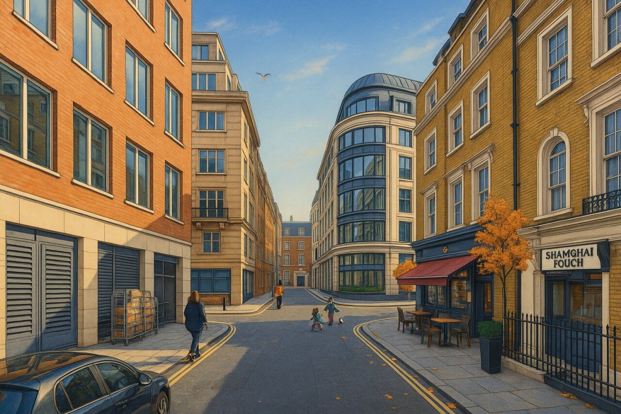
Painting of Clarges Street, London (View image in full size)
Page Details
This page was created on 28 May 2025. Hi, my name is Timothy and created it from my research, for my own entertainment, knowledge and to satisfy my curiosity. I am providing the information to you in good faith and hope it is useful. I try to get the details as accurate as possible. I also try to update the page whenever I stumble on new details. So this and all my other pages are perpetual work in progress. If you discover any error, please politely inform me, pointing out where the error lies, and I will correct it as soon as possible. Your helpfulness will keep this page accurate, relevant and helpful to those who need the information.Moving to London?
New to London and need a place to live? Read our Renting A Flat Guide. This guide covers everything you need to know about renting a flat in London, from viewing to signing.Streets of London
Come, let's explore and discover the streets of London together! Listed here afre the Streets of London that I have documented. Dive in and discover!Map of Streets in London
View all the streets that I have documented on Google Maps in this Map of Streets in London.Want to share your London travel experiences or get tips from fellow travellers?
Join the London Travel Tips Facebook GroupMore information for visiting London
Here are some related articles to help you get to know London better.- Cost of Living in London: Discover the true cost of living in London, including housing, transport, groceries, and more - plus tips for budgeting in one of the world's most expensive cities.
- Driving in London: Planning to drive in London? Learn about roads, car rentals, parking, tolls, and key tips for tourists and visitors from outside the capital.
- Driving Tips for Visiting London: Thinking of driving to London? Discover the best times to travel, congestion tips, parking apps, breakdown help, and petrol advice for a smoother journey.
- Evolution of London's Streets: Discover the fascinating history of how London's streets developed from ancient footpaths to today's complex network of roads across the capital.
- History of Immigration to London: Discover the rich history of immigration to London, from Huguenots to Bangladeshis, and how diverse communities have shaped the city's vibrant identity.
- How Big Is London Compared to Other World Cities?
- How London's Streets Measure Up: A Global Comparison of Road Widths
- How Streets of London are Named: Discover how London streets get their names, who decides them, and how historic, political, and public influences shape street naming in the capital.
- How the Grosvenor Family Came to Own Much of Mayfair, Belgravia and Pimlico: Explore how the Grosvenor family came to own much of Mayfair, Belgravia, and Pimlico, and learn about their historical connection (or lack thereof) with the British royal family and government.
- Living and working in London
- London's Quiet Collapse: How Living Standards Fell as Costs Skyrockted (1975-2025): Explore how London residents endured rising costs and falling living standards from 1975 to 2025 - from rocketing rents to wage stagnation and inflation.
- Marvel of the London Underground: Discover the history, challenges, and triumphs of the London Underground - the world's first underground railway and a vital transport lifeline for the UK capital since 1863.
- Moving to London: Expat Tips for Settling in Westminster: Essential advice for expats moving to London's Westminster: neighborhood insights, cost of living, transportation, housing, healthcare, schools, and tips to help you feel at home in the heart of the city.
- Places in London that aren't pronounced the way they're spelled
- Shopping in London: Discover London's diverse shopping scene
- Taking the bus in London: This is your complete guide to taking the bus when in London.
- The Anglican Faith: A Visitor's Guide to the Church of England: Learn about the Anglican faith and its deep ties to London's landmarks like Westminster Abbey and St Paul's Cathedral.
- Top 10 London Streets Every Visitor Must See: Discover London through its most iconic thoroughfares - 10 streets every visitor must experience. From historic Abbey Road to vibrant Camden High Street, explore culture, shopping, and hidden gems.
- Why are most roads in Central London so narrow? Learn why there are so few multi-lane roads and elevated highways in the heart of the city.

