
 Go Back
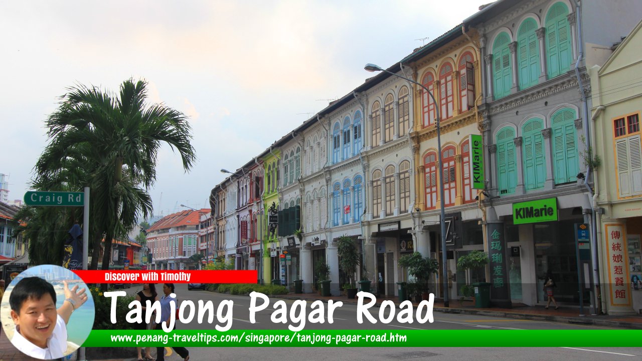 Tanjong Pagar Road, Singapore (11 July 2011)
Tanjong Pagar Road is a main road in the southern part of the Central Business District of Singapore. It is the main road in the Tanjong Pagar area, within the Outram Planning Area of downtown.
Tanjong Pagar Road starts at the junction with Neil Road and Maxwell Road in the north, and ends at the junction with Keppel Road. In between, it forms junctions with Duxton Hill, Cook Street, Craig Road, Wallich Street, Gopeng Street, Kee Seng Street, Enggor Street and Bernam Street.
The exact date when Tanjong Pagar Road was built is uncertain. It may have dated back to 1864, when the Tanjong Pagar Dock Company was formed, or possibly earlier. There are a number of theories over the etymology of the name Tanjong Pagar. According to one, it may have evolved from Tanjong Passar, a name which appeared in the 1836 Coleman map.
The name Tanjong Pagar means "palisaded cape." Although the road is nowhere near a cape today, that cape or headland probably has existed on the southern part of Singapore in the 19th century, but was erased by successive land reclamation which extended the shoreline creating the wharves between the Tanjong Pagar and Teluk Blangah area. After all, Keppel Terminal and Tanjong Pagar Terminal are both sitting on land that was originally sea.
The Malay Annals provides a fanciful account of how Tanjong Pagar got its name. According to the story, there was a fishing village at the area which was regularly menaced by shoals of swordfish. Many villagers were injured whenever the swordfish leap out of the sea. The problem was solved when a young boy suggested that a palisade of banana stems be erected along the shore. This proved successful in protecting the village from the swordfish attacks, and thereafter the village was called Tanjong Pagar.
Map of Tanjong Pagar Road, Singapore
Sights along Tanjong Pagar Road
- ABI Plaza (GPS: 1.27499, 103.84352)

- Amara Singapore (GPS: 1.27499, 103.84352)
- Carlton City Hotel (GPS: 1.27602, 103.8437)

- Fairfields Methodist Church (GPS: 1.27323, 103.84347)

- Fuji Xerox Towers (GPS: 1.27323, 103.84347)

- Jinricksha Station (GPS: 1.2802, 103.84366)

- Keppel Tower 2 (GPS: 1.27437, 103.84292)

- OCBC Campus (GPS: 1.27372, 103.84294)

- Orchid Hotel (GPS: 1.27688, 103.84379)

- St Andrew's Centre (GPS: 1.274, 103.84293)

- Tanjong Pagar Plaza (GPS: 1.27565, 103.84271)
- Tanjong Pagar Plaza Market & Food Centre (GPS: 1.274, 103.84293)

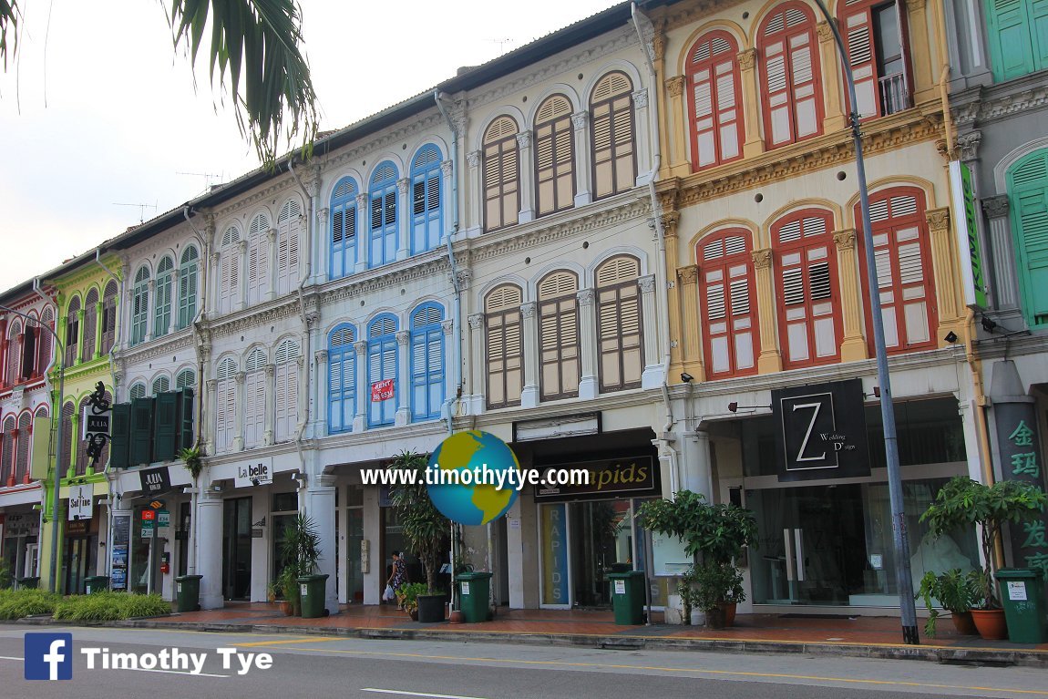 3-storey Straits Eclectic townhouses along Tanjong Pagar Road, Singapore (11 July 2011)
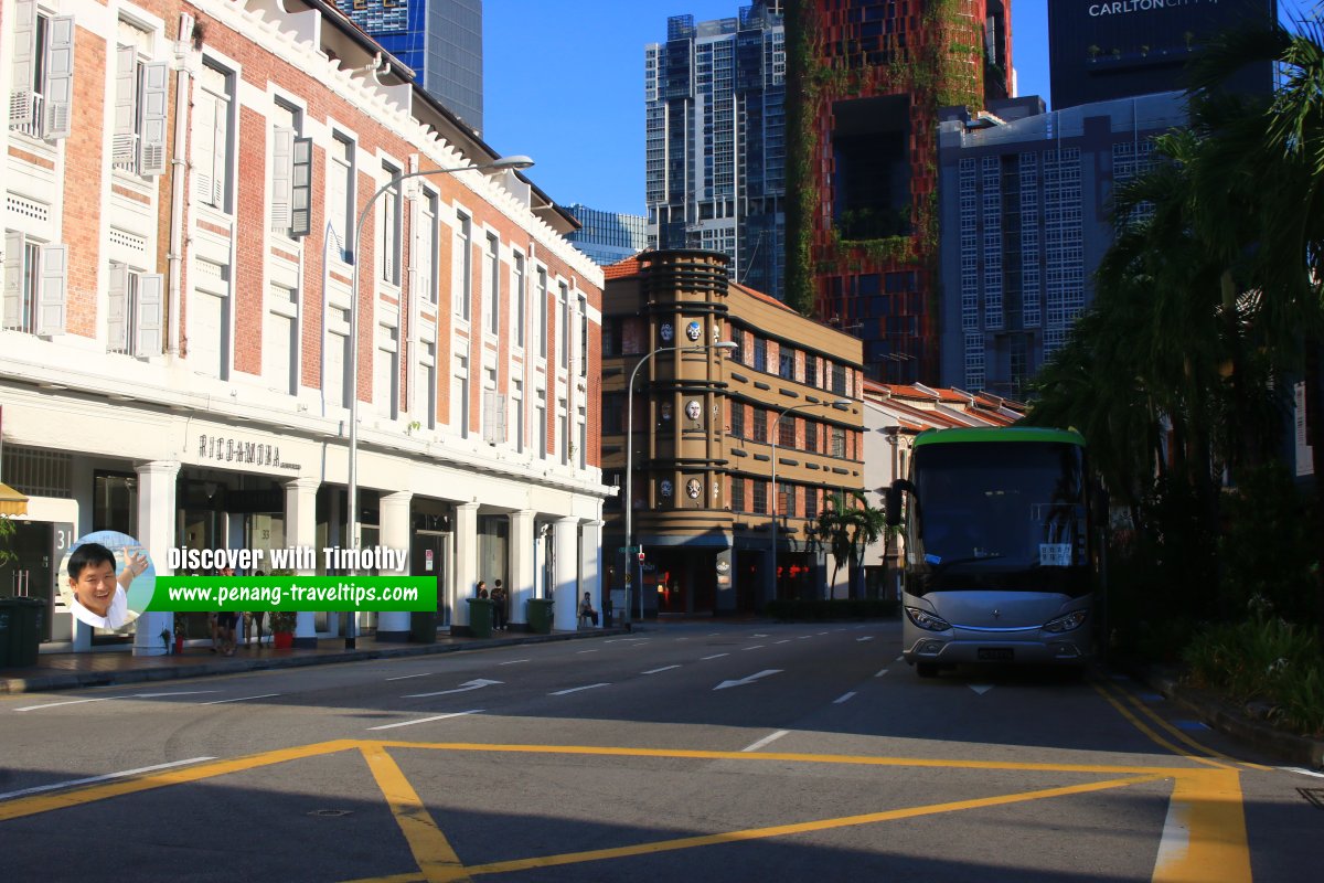 Tanjong Pagar Road, Singapore (29 July 2017)
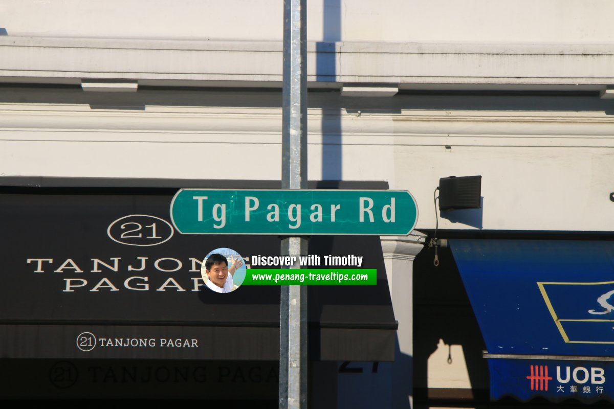 Tanjong Pagar Road roadsign (29 July 2017)
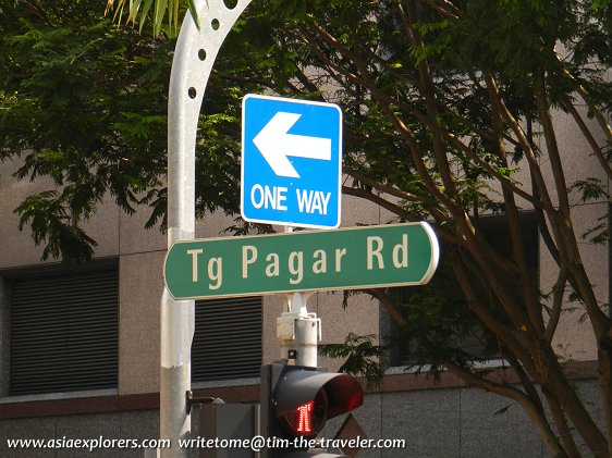 Tg Pagar Rd signboard (7 July 2011)
Tanjong Pagar Road Singapore on Google Street View
Tanjong Pagar Road Singapore (Dec 2022)References
- Singapore Street Names by Victor R Savage and Brenda S.A. Yeoh (2004), ISBN 981-210-364-3
Streets of Singapore Directory
My videos of Singapore
Want to share your Singapore travel experiences or get tips from fellow travellers?
Join the Singapore Travel Tips Facebook GroupMore information for visiting and living in Singapore
Here are some related articles to help you get to know Singapore better.- Cost of Living in Different Singapore Neighbourhoods (2025 Guide)
- EZ-Link Card
- Owning a Car in Singapore
- Singapore MRT Map & Guide 2025
- Singapore Postal Districts and Postcodes
- Singapore Tourist Pass
- Taking the Bus in Singapore: A Visitor's Guide
- Understanding CCR, RCR and OCR in Singapore real estate
 Latest Pages & Updates
Buy Me A Coffee
If you enjoy the information I provide and want to support the work I do, please buy me a coffee! I appreciate it immensely, thank you so much!
