Greycoat Place, London
The street runs from the junction of Artillery Row, Greencoat Place, and Spencer Place in the west to Great Peter Street and Horseferry Road in the east. It is situated within walking distance of Westminster Abbey, the Houses of Parliament, and St James's Park.
How Long is Greycoat Place?
Greycoat Place is a relatively short street, measuring approximately 160 metres (about 525 feet) in length. Though brief in distance, it plays an important connective role between several adjoining streets and offers a mix of historic buildings and modern development.The History of Greycoat Place
Greycoat Place dates back to the late 17th century and forms part of an area historically associated with the development of charitable institutions and schools. The street's proximity to Horseferry Road—once a key Thames crossing point—made it a strategic location in early Westminster planning.The surrounding neighbourhood was gradually developed between the 1600s and 1800s to accommodate various civic, religious, and charitable purposes, including almshouses and schools. Much of its development occurred during the Georgian and Victorian periods, with many of its buildings dating from the 19th century.
How Greycoat Place Got Its Name
The name “Greycoat Place” originates from the Grey Coat Hospital, a charity school founded in 1698. The school was established to provide education to poor children and took its name from the grey uniforms worn by the pupils.Today, the school is known as the Grey Coat Hospital School, a prestigious Church of England secondary school for girls, located just around the corner on St Andrew's Building, still within easy reach of the street that bears its name. The name is a tribute to this historic institution and has been in consistent use since at least the early 18th century.
Connecting Streets
Greycoat Place is closely interlinked with several other streets:- Artillery Row – Connects at the western end, leading northward toward Victoria Street.
- Greencoat Place – A continuation running northwest, named after another local charity school.
- Spencer Place – A short connecting spur off the junction with Artillery Row and Greencoat Place.
- Great Peter Street – Connects at the eastern end, heading eastward toward Marsham Street and Westminster Abbey.
- Horseferry Road – Runs adjacent to the junction with Great Peter Street and leads south toward Lambeth Bridge.
Real Estate and Property Prices
Greycoat Place sits within a desirable part of central Westminster, where property values are typically high. As of April 2025, the average property price on or around Greycoat Place is approximately £1.3 million, though this figure varies widely based on property type.A two-bedroom flat with around 850 sq ft (79 sq metres) of living space may fetch between £1.1 million and £1.4 million, depending on the building and condition. In comparison, the average property price across Greater London is around £720,000, making Greycoat Place significantly above average.
Rental prices are also steep, with two-bedroom properties often commanding monthly rents of between £3,500 and £4,200.
The Character of the Street
Greycoat Place has a distinct residential character, though it is surrounded by a mixture of government offices, schools, small businesses, and civic buildings. Most buildings here are elegant townhouses or converted apartments, with a few modern in-fill developments.Its peaceful atmosphere, attractive architecture, and central location make it popular with professionals, civil servants, and long-term residents who value quiet charm within easy reach of the city's main hubs.
Nearest London Underground Stations
Greycoat Place is well-served by London's public transport network. The nearest London Underground stations include:- St James's Park (District and Circle Lines) – Approximately a 5-minute walk to the northeast.
- Victoria (Victoria, District, and Circle Lines) – Around a 10-minute walk to the northwest, also offering National Rail services.
- Westminster (Jubilee, District, and Circle Lines) – About 12 minutes on foot to the east.
Fun Fact About Greycoat Place
One fascinating piece of trivia is that Greycoat Place, though a quiet side street today, once had direct connections to horse-drawn transport routes leading from the Thames via Horseferry Road. The road names in the area—including Greencoat and Artillery Row—highlight the area's unique blend of military, educational, and charitable history. Furthermore, Greycoat Place's namesake school—the Grey Coat Hospital School—is one of the oldest surviving state-funded schools in England still operating under its original charitable foundation.Quick Facts
- Location: City of Westminster, London SW1
- Length: Approximately 160 metres (525 feet)
- Named After: Grey Coat Hospital School, founded in 1698
- Character: Primarily residential with some civic buildings
- Connected Streets: Artillery Row, Greencoat Place, Spencer Place, Great Peter Street, Horseferry Road
- Nearest Tube Stations: St James's Park, Victoria, Westminster
- Property Prices (2025): Around £1.3 million on average
- Fun Fact: One of Westminster's streets named after a charity school still in operation today
Map of Greycoat Place, London
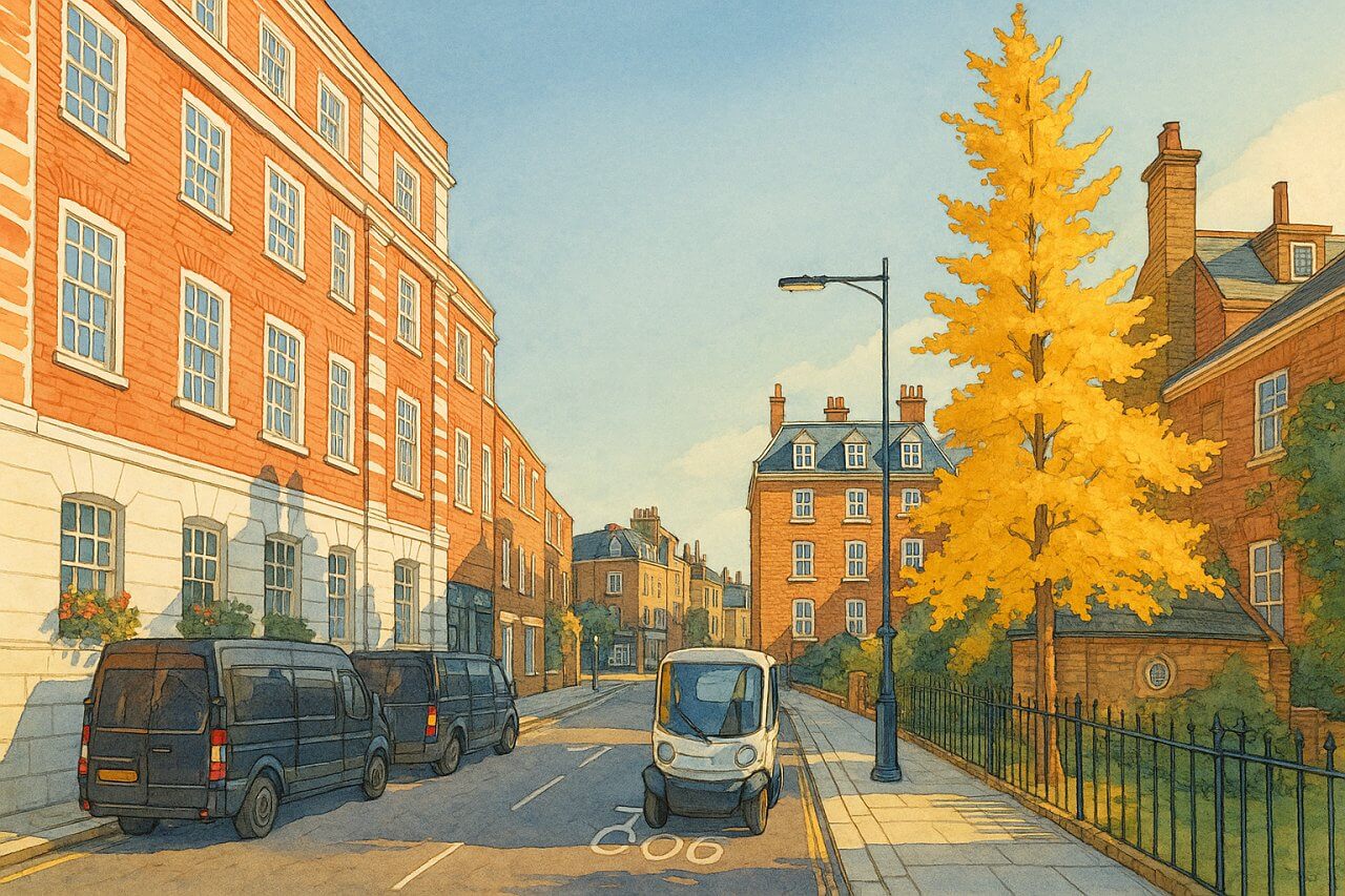
Painting of Greycoat Place, London (View image in full size)
Page Details
This page was created on 3 May 2025. Hi, my name is Timothy and created it from my research, for my own entertainment, knowledge and to satisfy my curiosity. I am providing the information to you in good faith and hope it is useful. I try to get the details as accurate as possible. I also try to update the page whenever I stumble on new details. So this and all my other pages are perpetual work in progress. If you discover any error, please politely inform me, pointing out where the error lies, and I will correct it as soon as possible. Your helpfulness will keep this page accurate, relevant and helpful to those who need the information.Moving to London?
New to London and need a place to live? Read our Renting A Flat Guide. This guide covers everything you need to know about renting a flat in London, from viewing to signing.Streets of London
Come, let's explore and discover the streets of London together! Listed here afre the Streets of London that I have documented. Dive in and discover!Map of Streets in London
View all the streets that I have documented on Google Maps in this Map of Streets in London.Want to share your London travel experiences or get tips from fellow travellers?
Join the London Travel Tips Facebook GroupMore information for visiting London
Here are some related articles to help you get to know London better.- Cost of Living in London: Discover the true cost of living in London, including housing, transport, groceries, and more - plus tips for budgeting in one of the world's most expensive cities.
- Driving in London: Planning to drive in London? Learn about roads, car rentals, parking, tolls, and key tips for tourists and visitors from outside the capital.
- Driving Tips for Visiting London: Thinking of driving to London? Discover the best times to travel, congestion tips, parking apps, breakdown help, and petrol advice for a smoother journey.
- Evolution of London's Streets: Discover the fascinating history of how London's streets developed from ancient footpaths to today's complex network of roads across the capital.
- History of Immigration to London: Discover the rich history of immigration to London, from Huguenots to Bangladeshis, and how diverse communities have shaped the city's vibrant identity.
- How Big Is London Compared to Other World Cities?
- How London's Streets Measure Up: A Global Comparison of Road Widths
- How Streets of London are Named: Discover how London streets get their names, who decides them, and how historic, political, and public influences shape street naming in the capital.
- How the Grosvenor Family Came to Own Much of Mayfair, Belgravia and Pimlico: Explore how the Grosvenor family came to own much of Mayfair, Belgravia, and Pimlico, and learn about their historical connection (or lack thereof) with the British royal family and government.
- Living and working in London
- London's Quiet Collapse: How Living Standards Fell as Costs Skyrockted (1975-2025): Explore how London residents endured rising costs and falling living standards from 1975 to 2025 - from rocketing rents to wage stagnation and inflation.
- Marvel of the London Underground: Discover the history, challenges, and triumphs of the London Underground - the world's first underground railway and a vital transport lifeline for the UK capital since 1863.
- Moving to London: Expat Tips for Settling in Westminster: Essential advice for expats moving to London's Westminster: neighborhood insights, cost of living, transportation, housing, healthcare, schools, and tips to help you feel at home in the heart of the city.
- Places in London that aren't pronounced the way they're spelled
- Shopping in London: Discover London's diverse shopping scene
- Taking the bus in London: This is your complete guide to taking the bus when in London.
- The Anglican Faith: A Visitor's Guide to the Church of England: Learn about the Anglican faith and its deep ties to London's landmarks like Westminster Abbey and St Paul's Cathedral.
- Top 10 London Streets Every Visitor Must See: Discover London through its most iconic thoroughfares - 10 streets every visitor must experience. From historic Abbey Road to vibrant Camden High Street, explore culture, shopping, and hidden gems.
- Why are most roads in Central London so narrow? Learn why there are so few multi-lane roads and elevated highways in the heart of the city.

