The Evolution of London's Streets
London's Streets: From Ancient Paths to Modern Thoroughfares
The Roots of the City
The story of London’s streets begins over two millennia ago, within the area now known as the City of London. Long before pavements and formal road names, people followed dirt paths trodden down over time. These early tracks often followed the line of least resistance—along riverbanks, ridge lines, or between key landmarks. When the Romans arrived around AD 43, they found a network of these footpaths and began imposing their own order upon the landscape.Roman engineers constructed a gridded street system in Londinium, the Roman name for London. Their roads were paved with stone and built to last. Some of today’s streets in the City of London still reflect Roman alignments. Watling Street, for instance, originally extended from Dover through London to Wroxeter. In the City, parts of it are preserved under the same name, and its path survives in streets like Cannon Street and the nearby road layout.
Radiating Roads: Expanding Beyond the Roman City
As London grew, roads spread beyond the Roman walls, linking the city to surrounding settlements and regions. These radial routes became the backbone of London’s street network. For example:- Oxford Street follows the route of the old Roman road leading west from the city toward Oxford.
- Old Kent Road marks the route south to Canterbury and Dover, part of the original Watling Street alignment.
- Edgware Road is built along the Roman route to Verulamium (modern St Albans).
Medieval Realignments and Fragmentations
After the Romans left in the 5th century, their roads were often neglected. In medieval times, new paths emerged to meet different needs. The organic development of London’s street system during this period meant that older roads were sometimes realigned, split, or lost entirely. One example is Greencoat Place in Westminster. Today, it appears as two separate street segments, but it may once have been a continuous street before later development disrupted its path.Another example is Chadwick Street, which today exists in two distinct segments near Horseferry Road. It is likely these were once part of a single street, later severed by construction or urban redesign.
Examples of Streets That Follow Ancient Alignments
Despite centuries of change, some of London’s oldest streets still cling to their original courses. Notable examples include:- Ludgate Hill – Following the Roman route west out of the city through Ludgate.
- Strand – An ancient trackway along the River Thames that once connected the City to Westminster.
- Bishopsgate – Named for one of the original Roman gates and built on the line of the Roman road to the north.
When Streets Shift: Realignments Over the Centuries
Urban development, war damage, and infrastructure projects have frequently forced streets to change direction, merge, or even disappear. For example:- Cheapside remains on its medieval alignment, but adjoining streets like Milk Street and Wood Street have shifted due to modern redevelopment.
- Aldersgate Street was realigned and widened in the 20th century, disrupting some of the original medieval plot lines.
- Rose Street in Covent Garden was once part of a continuous thoroughfare but now terminates abruptly.
Streets With Multiple Names Over Time
The renaming of streets has been a common feature of London’s urban evolution. This was sometimes done to avoid confusion, commemorate historical figures, or reflect social changes. Examples include:- High Holborn was once known as "Oldbourne" after the nearby river; "Holborn" eventually became the dominant name.
- Regent Street absorbed several smaller streets during its construction in the early 19th century, unifying the route under a new name.
- Whitehall was originally part of King Street, but the area was renamed after the Palace of Whitehall, which burned down in 1698.
The Puzzle of Fragmented Streets
A particularly intriguing aspect of London's street network is the way some roads have become fragmented over time. Aside from Greencoat Place and Chadwick Street, other examples include:- Stanhope Street in Camden exists in multiple disconnected parts, separated by Euston Road and later developments.
- York Road near Waterloo appears to twist and turn due to the evolution of the railway infrastructure in the area, slicing through former street alignments.
Modern Influences: Infrastructure and Redevelopment
From the 19th century onward, London saw major changes to its street system due to infrastructure projects such as:- The construction of the railway system, which cut through neighborhoods and altered street layouts.
- The creation of the Embankment, which reclaimed land from the Thames and created a new riverside thoroughfare.
- Major urban renewal schemes in the 20th century, such as the redevelopment of the Barbican area, which introduced entirely new street layouts atop former medieval lanes.
Preserving the Past While Embracing the Future
London’s street network is a living record of its history—one that continues to evolve. While modern pressures such as traffic, public transport, and pedestrian needs drive change, many roads still carry the imprint of centuries past. Even when a name changes or a road is fragmented, the memory of what once was can often be traced in old maps, local names, and subtle clues in the urban landscape.For example, hidden alleys like Pickering Place in St James’s or the surviving stretch of Roman Wall near London Wall offer windows into older patterns of movement and settlement. Local history groups and civic organizations continue to document and preserve these stories, helping ensure that the tale of London’s streets remains alive and accessible.
Conclusion
From humble footpaths in a prehistoric landscape to bustling arteries in a global metropolis, the development of London’s streets is a story of adaptation, resilience, and continuity. Whether following Roman alignments or winding through medieval market lanes, these roads remain at the heart of London’s identity. As you walk them today—whether on Greencoat Place, Fleet Street, or Edgware Road—you’re tracing the footprints of countless generations who shaped the city one step at a time.
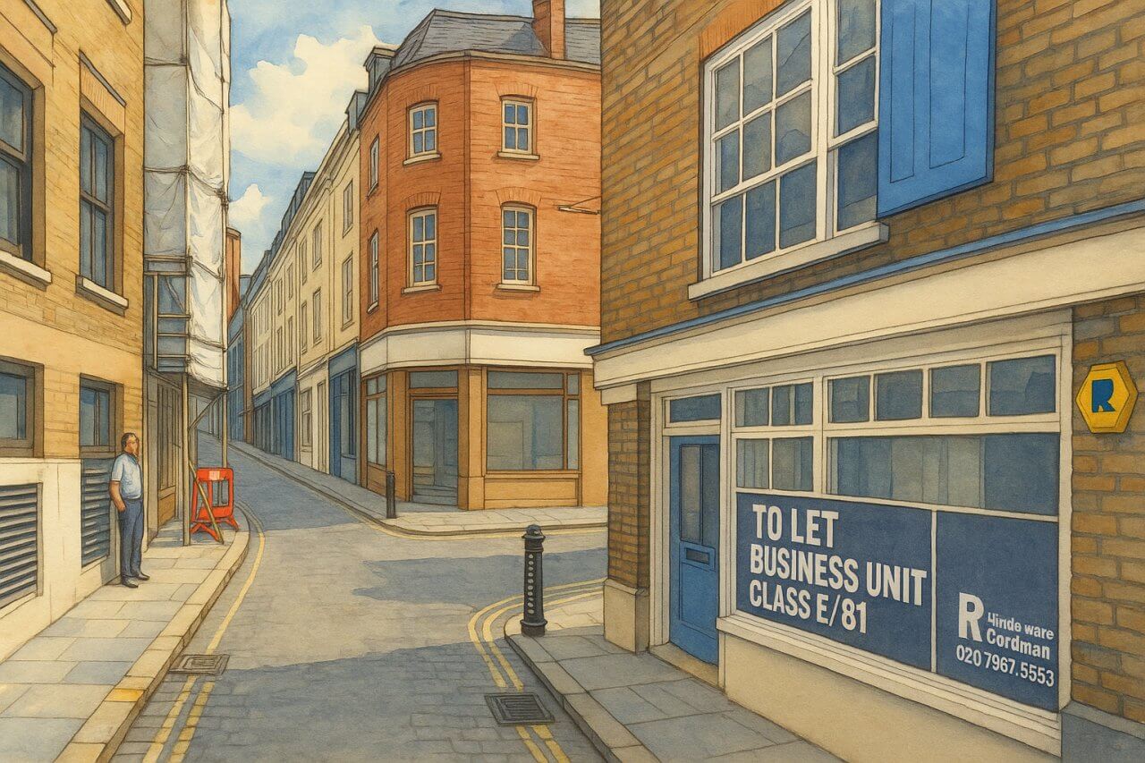
Painting of Carter Lane in the City of London (View image in full size)