
 Ko Phi Phi Don (5 November, 2005)
Ko Phi Phi Don เกาะพีพีดอน
 is the biggest island in the Mu Ko Phi Phi archipelago. It is the bigger of the two major islands. It covers an area of 28 square kilometres. Shaped like a butterfly, it is 8 km long and 3.5 km across at the widest point. Phi Phi Don is the only one permanently inhabited. At the northernmost is the cape of Laem Tong, which is where a sea gypsy village is located. The gypsies were said to have migrated here from Ko Lipe, in Tarutao, further south, near the Malaysian border.
Laem Hua Raket, Hat Yao and Hin Phae are all excellent diving spots. The only major settlement in Phi Phi, apart from the sea gypsy village at Laem Tong, is concentrated around Ao Ton Sai (Tonsai Bay), a lovely curving beach that forms an isthmus linking two hilly sections of Phi Phi Don. On the opposite side of Ao Ton Sai is another bay, Ao Lo Da Lam (Loh Dalam Bay).
 Viewpoint at Ko Phi Phi Don. (5 November, 2005)
 Speedboat entering Tonsai Bay on Ko Phi Phi Don. (5 November, 2005)
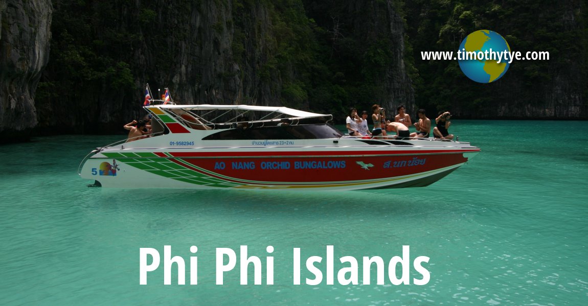
 Latest updates on Penang Travel Tips
 Map of Roads in Penang
Looking for information on Penang? Use this Map of Roads in Penang to zoom in on information about Penang, brought to you road by road.More information for visiting Bangkok
- 7-Day Bangkok Family-Friendly Vacation: This is an itinerary for a 7-day family-friendly trip from Penang to Bangkok, with tips on flights, family-friendly hotels, toddler-friendly attractions, shopping highlights and practical travel advice.
Featured Video: Sukhothai, the Birthplace of Thai Civilisation
Buy Me A Coffee
If you enjoy the information I provide and want to support the work I do, please buy me a coffee! I appreciate it immensely, thank you so much!

 Backtrack | HOME | Latest Updates |
Copyright © 2003-2026 Timothy Tye. All Rights Reserved.