

Tonsai Bay, Phi Phi Island
 Go Back - Latest PENANG Sights/Streets/New Properties > Malaysia > World | Hokkien : Lessons : Dictionary | YouTube | Facebook | About Me : Contact Me
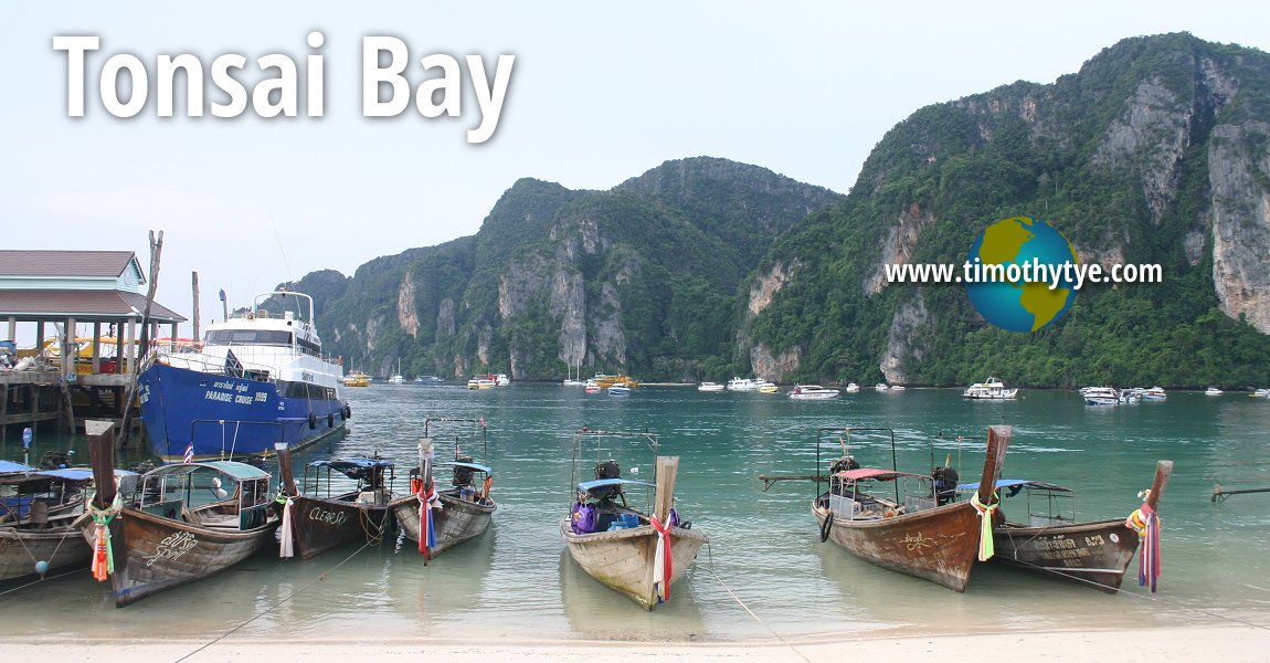 Tonsai Bay, Phi Phi (5 November, 2005)
Tonsai Bay (GPS: 7.73744, 98.77009) is a small Muslim fishing village on Ko Phi Phi Don, the larger of the two main islands of the Phi Phi Archipelago. It is the only actual settlement in Phi Phi. The settlement is located on the 1.5 km strip of sandy isthmus between the two hilly sections of Phi Phi Don, sandwiched between Tonsai Bay on one side and Loh Dalam Bay on the other. The area was swept by the 2004 Boxing Day Tsunami, which caused widespread devastation. Nevertheless Tonsai Bay picked up the pieces and quickly rebuilt itself.
Today, Tonsai is barely recognisable from its former self, having been engulfed by a different tsunami, of retail arcades, cafes, bars and guesthouses catering to mass budget tourism. Unlike elsewhere in Phi Phi, pristine is not the adjective here. As this is the only place in the Phi Phi archipelago with a village, it is also where most visitors to Phi Phi visit.
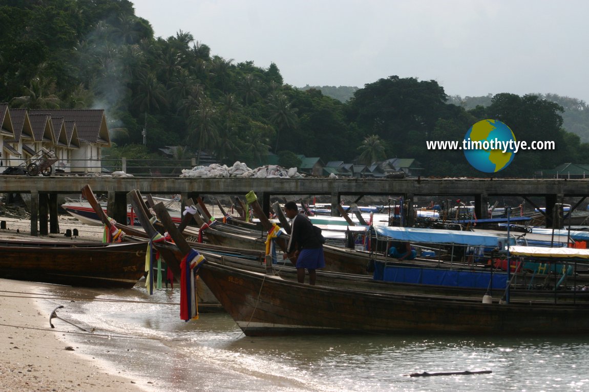 Longtail boats parked at Tonsai Bay. (5 November, 2005)
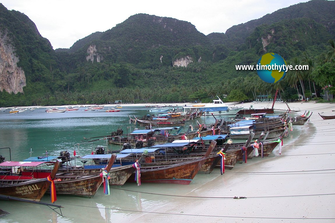 Longtail boats parked at Tonsai Bay. (30 August, 2003)
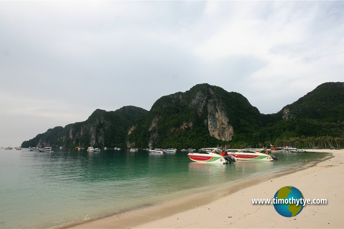 Our two speedboats parked at Tonsai Bay. (5 November, 2005)
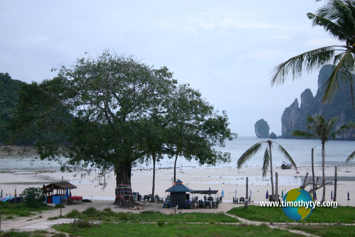 Morning in Tonsai Bay. (5 November, 2005)
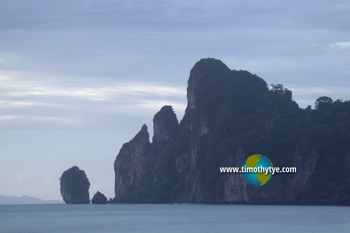 Craggy headland as seen from Tonsai Bay. (30 August, 2003)
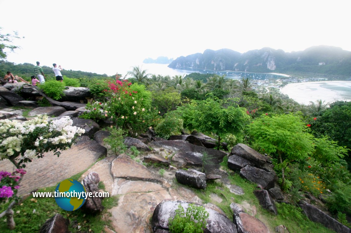 Panoramic view of Tonsai Bay from hilltop viewpoint. (5 November, 2005)
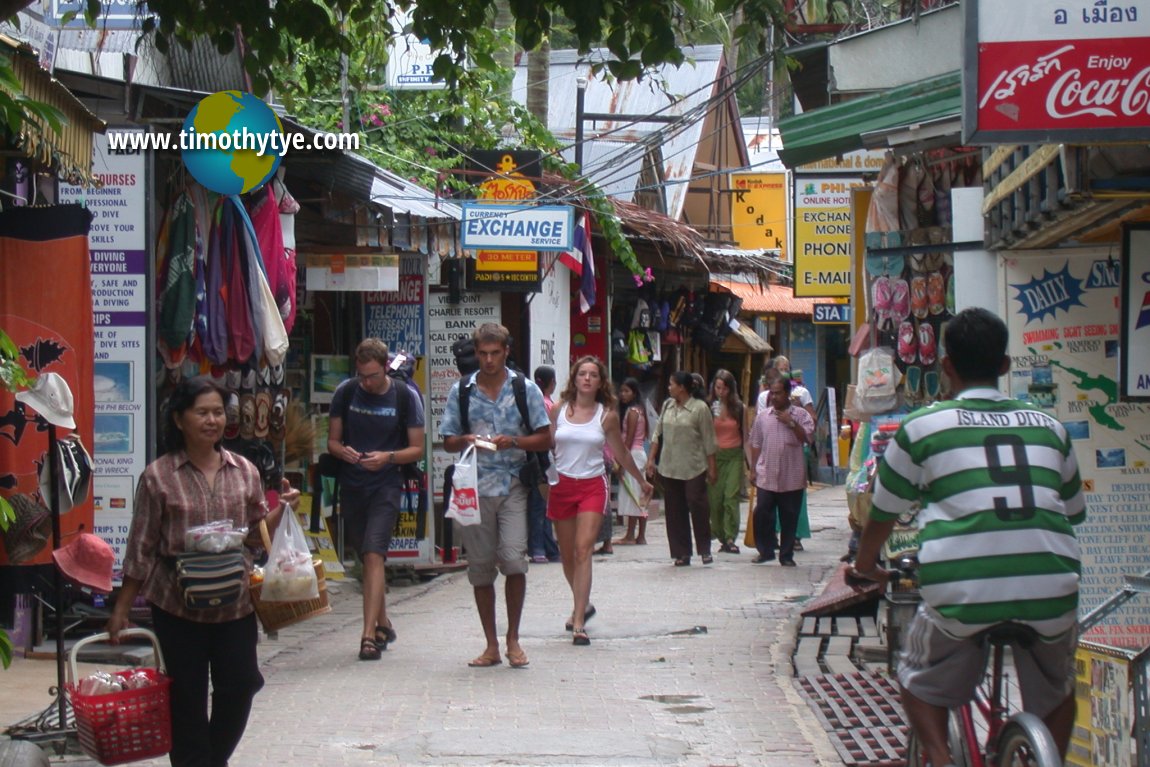 Panoramic view of Tonsai Bay from hilltop viewpoint. (5 November, 2005)
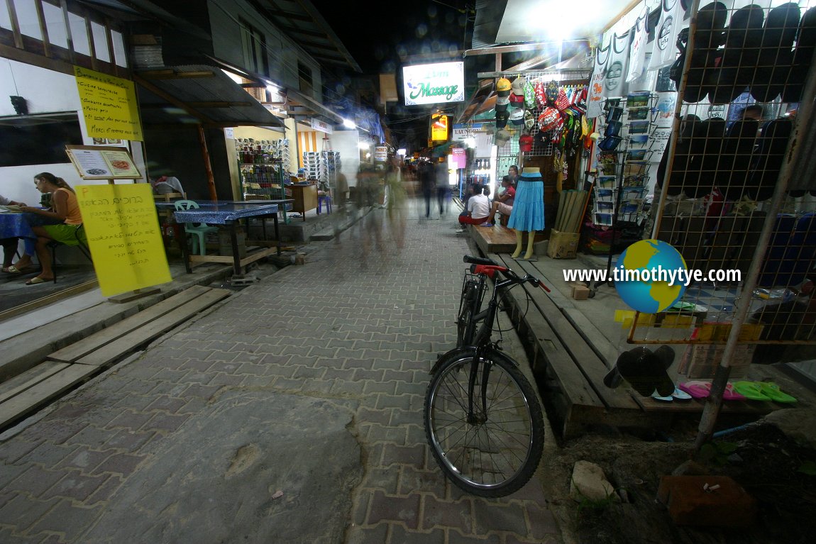 Shopping area of Tonsai Bay at night. (5 November, 2005)
Remembering the 2004 tsunami
Tonsai was badly affected by the tsunami of 26 December 2004. The waves hit Phuket about two hours after the earthquake hit the Simeulue Islands off the coast of Sumatra. 45 minutes later, it arrived at Tonsai in Phi Phi Don. The initial stage of the tsunami was a trough, when the seawater rapidly receded, exposing the coral reefs. Tourists and locals alike were curious, many wandered out into the sea, curious. Some collected the stranded fish.At 10:37am Thai Time, the water came back. It raced towards the shore at approximately 50 kilometres per hour, much higher than sea level. The wave that entered from Loh Dalam Bay was 6.5 metres (18 feet) high while the one that same in from the opposite direct, through Tonsai Bay was 3 metres (10 feet) high. On the north side of Phi Phi Don, the water crossed from one side of the island to the other, from Loh Lanah Bay to Loh Bakao Bay, and at the Sea Gypsy village at Laem Tong.
Seafront structures sustained total devastation at most, and heavy damage at the least. The waves smashed into everything on their path, and met from two sides in the middle of Ban Tonsai village. The larger Loh Dalam wave pushed the smaller Tonsai wave back into Tonsai Bay, along with all the debris. On the Loh Dalam side, the wave pushed its way towards the hill.
After a few minutes, a second trough passed through the island, sucking the water out the second time. Then it hit the island once more. And then the sea returned to normal. 70% of the buildings in Ban Tonsai were destroyed. 800 people were dead. 1200 were missing. 104 children became orphans.
As this page is written, one year after the incident, Phi Phi is slowly returning to normal. Although traces of the devastation remains, most of the shops in the retail arcades were once more open. A grim reminder of the tsunami was the sole 7-Eleven on the island. Today, it was nothing more than an empty shell, being totally emptied by the tsunami that came in from both sides.
Tonsai Bay is  on the map of Mu Ko Phi Phi Archipelago
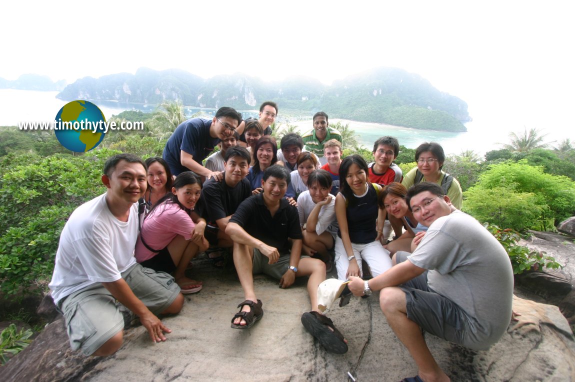 Here I with participants of the trip to Phi Phi at Tonsai Bay. (5 November, 2005)
 Latest updates on Penang Travel Tips
 Discover with Timothy YouTube Channel
 PG Food Channel
 Learn Penang Hokkien YouTube Channel
 SojiMart Videos
 Map of Roads in Penang
Looking for information on Penang? Use this Map of Roads in Penang to zoom in on information about Penang, brought to you road by road.Disclaimer
Please use the information on this page as guidance only. The author endeavours to update the information on this page from time to time, but regrets any inaccuracies if there be any.Latest from Discover with Timothy: Gurney Bay - what to see and do there
About this website

Hello and thanks for reading this page. My name is Timothy and my hobby is in describing places so that I can share the information with the general public. My website has become the go to site for a lot of people including students, teachers, journalists, etc. whenever they seek information on places, particularly those in Malaysia and Singapore. I have been doing this since 5 January 2003, for over twenty years already. You can read about me at Discover Timothy. By now I have compiled information on thousands of places, mostly in Peninsular Malaysia and Singapore, and I continue to add more almost every day. My goal is to describe every street in every town in Malaysia and Singapore.
Robbie's Roadmap
- Episode 1: Robbie's Journey to Financial Freedom
- Episode 2: Lost in America
- Episode 3: The Value of Money
- Episode 4: The Mentor
- Episode 5: The Thing that Makes Money
- Episode 6: The walk with a Billionaire
- Episode 7: The Financial Freedom Awakening
- Episode 8: Meet Mr Washington
- Episode 9: The Pizzeria Incident
Copyright © 2003-2024 Timothy Tye. All Rights Reserved.