 Doi Inthanon (25 October 2006)
Doi Inthanon (GPS: ; Thai: ดอยอินทนนท์
 ) is the tallest peak in Thailand. It stands at a height of 2565 meters. Before it was given the name Doi Inthanon, this mountain peak was variously known as Doi Luang, meaning "big peak", and Doi Ang Ka, meaning "crow pond peak", because there was once a pond frequented by crows near the peak.
Doi Inthanon was renamed in honor of King Inthawichayanon, also called King Inthanon. King Inthawichayanon was the seventh ruler of Chiang Mai's last dynasty, before the kingdom was incorporated into Siam. King Inthawichayanon was what you would regard as a early-day environmentalist. He expressed his concern for the forest before anybody has ever heard of a green movement.
After King Inthawichayanon died in 1897, his ashes were placed at the peak of Doi Luang, which was then renamed Doi Inthanon. You can visit the chedi which houses his ashes at the King Inthanon Memorial Shrine within the Doi Inthanon National Park.
Map of Doi Inthanon National Park
Places of Interest in and around Doi Inthanon
- Inthanon Royal Project Research Station (GPS: 18.54322, 98.51831)

- King Inthanon's Memorial Shrine (GPS: 18.58865, 98.48735)

- Mae Ya Waterfall (GPS: 18.43964, 98.59799)

- Naphapholphumisiri Pagoda (GPS: 18.55266, 98.48001)

- Siriphum Waterfall (GPS: 18.54696, 98.51222)

- Vachiratharn Waterfall (GPS: 18.542, 98.59825)

The Doi Inthanon National Park is one of the original fourteen national parks created in Thailand in 1954. The park boundaries have been redrawn twice, in 1972 and 1975, to increase its size to the present 482 sq km. As the park spreads over an altitude ranging from 800 meter right up to the peak at 2565 meters, it covers a variety of climates. As a result, it hosts 362 different species of birds, the second highest number in a Thai national park.
A short distance from the summit of Doi Inthanon is the Napamaytanidol Chedi, a pair of king and queen pagodas. There are a few waterfalls within the national park, among them Vachiratharn Waterfall, Siriphum Waterfall and Mae Klang Waterfall.
Getting there
Doi Inthanon is to the west of Chiang Mai. Take Route 108 out of Chiang Mai, then between the towns of Khuang Pao and Chom Thong, turn right into Route 1009 which goes all the way to Doi Inthanon.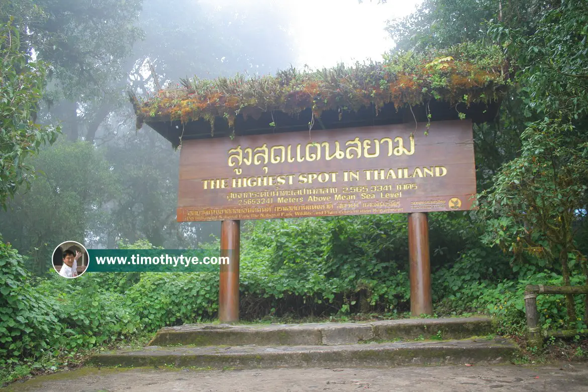 Signage for the highest spot in Thailand, at Doi Inthanon (25 October 2006)
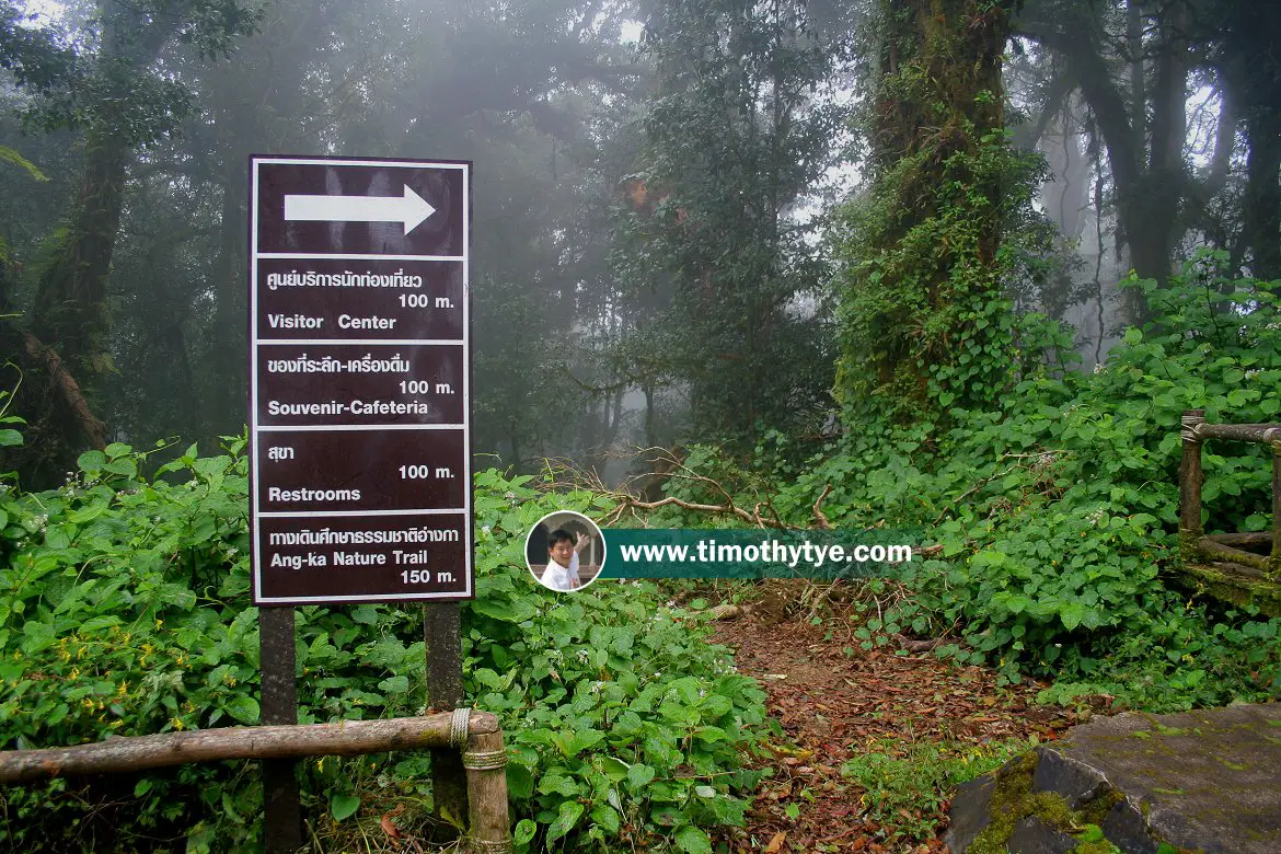 Signage for the highest spot in Thailand, at Doi Inthanon (25 October 2006)
 Signage for the highest spot in Thailand, at Doi Inthanon (25 October 2006)
 Signage for the highest spot in Thailand, at Doi Inthanon (25 October 2006)
 Signage for the highest spot in Thailand, at Doi Inthanon (25 October 2006)
 Signage for the highest spot in Thailand, at Doi Inthanon (25 October 2006)
 Signage for the highest spot in Thailand, at Doi Inthanon (25 October 2006)
 Signage for the highest spot in Thailand, at Doi Inthanon (25 October 2006)
 Signage for the highest spot in Thailand, at Doi Inthanon (25 October 2006)
 Latest updates on Penang Travel Tips
 Map of Roads in Penang
Looking for information on Penang? Use this Map of Roads in Penang to zoom in on information about Penang, brought to you road by road.
Copyright © 2003-2025 Timothy Tye. All Rights Reserved.

 Go Back