 Sungai Gelugor (12 March 2013)
Sungai Gelugor is a network of rivers flowing east to empty into the South Channel of Penang. The name also denotes a Malay estuarine village along its flow. The village of Sungai Gelugor is in fact one of the earliest Malay settlements on Penang Island. The early inhabitants were mostly fishermen who dwelled along the mouth of Sungai Gelugor. Some are said to have arrived here from Sumatra and are related to the settlement of Batu Uban further south.
The traditional village of Sungai Gelugor is anchored by Masjid Jamek Sungai Gelugor to the north, and by the army camp to the south. It is today bordered by Jalan Sultan Azlan Shah to the west, and the Sungai Nibong Expressway to the east.
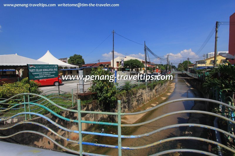
 Canalised Sungai Gelugor flowing through Kampung Sungai Gelugor (27 October 2012)
There are two rivers called Sungai Gelugor. Sungai Gelugor (North) emerges from the hills of Bukit Gambir. From there, it flows in a southeast direction between Hilir Pemancar and Jalan Permai. Jalan Permai crosses the river on its approach to its junction with Hilir Pemanchar, while Sungai Gelugor continues its course eastward across Jalan Sultan Azlan Shah. Thereafter Tingkat Sungai Gelugor 2 follows along its bank.
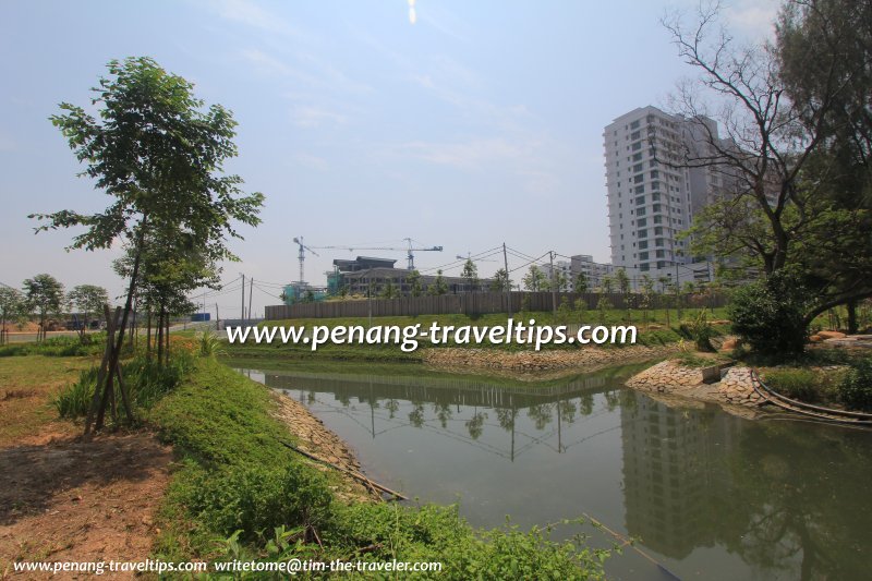
After it is crossed by the Tun Dr Lim Chong Eu Expressway, Sungai Gelugor enters The Light Waterfront where it flows past The Light Linear Condominium and through the lagoons of The Light Collection Condominiums before emptying into the sea.
A second river, also called Sungai Gelugor (South), starts as a canal in Minden Heights. It crosses Jalan Sultan Azlan Shah and then continues between Sekolah Kebangsaan Sungai Gelugor and Kem Batu Uban. It runs under the Tun Dr Lim Chong Eu Expressway on the northern section of the Penang Bridge Interchange, before discharging into the sea south of The Linear Point Condominium.
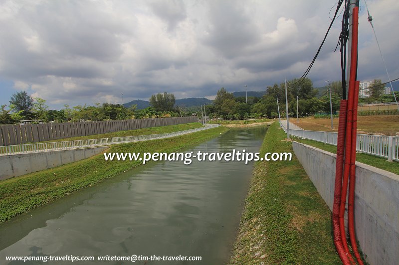
 Sungai Gelugor entering The Light Waterfront (9 March 2013)
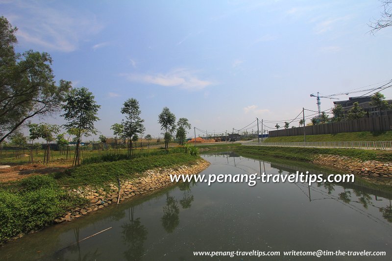
 Sungai Gelugor near its estuary (9 March 2013)
Public Transport
Rapid Penang Bus Nos. 301, 302, 303, 304 and 401 pass along Jalan Sultan Azlan Shah.Amenities
The nearest school is Sekolah Kebangsaan Sungai Gelugor. The nearest market is the Jelutong Market. The nearest hypermarket is Lotus's Penang. The nearest petrol station is Mobil Gelugor. The nearest hospital is Lam Wah Ee Hospital.Map of Sungai Gelugor
List of Rivers in Penang and Rivers in Malaysia

Copyright © 2003-2025 Timothy Tye. All Rights Reserved.

 Go Back