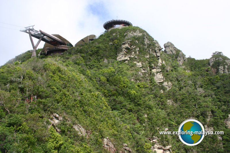
 Gunung Machincang, Langkawi (6 June, 2005)
Gunung Machincang (GPS: 6.38611, 99.66111) is a spectacular mountain range near Datai Bay, on the northwestern part of Pulau Langkawi. At slightly over 700 meters, it is the second tallest peak in Pulau Langkawi after the 850-meter Gunung Raya. The mountain is today one of the three sites within the Langkawi Global Geopark, inscribed as the Machincang Cambrian Geoforest Park. The mountain is part of the Machincang Formation, the oldest geological formation in the country dating back 500 million years.
Today, visitors may easily reach the top of Gunung Machincang by taking the Langkawi SkyCab, which takes visitors to the Middle Station and Top Station.
Members' Travel Shots of Gunung Machincang
Join the Penang Travel Tips Facebook Group and post your travel shots.- Freddy Ong posted on Gunung Machincang on 11 December, 2019
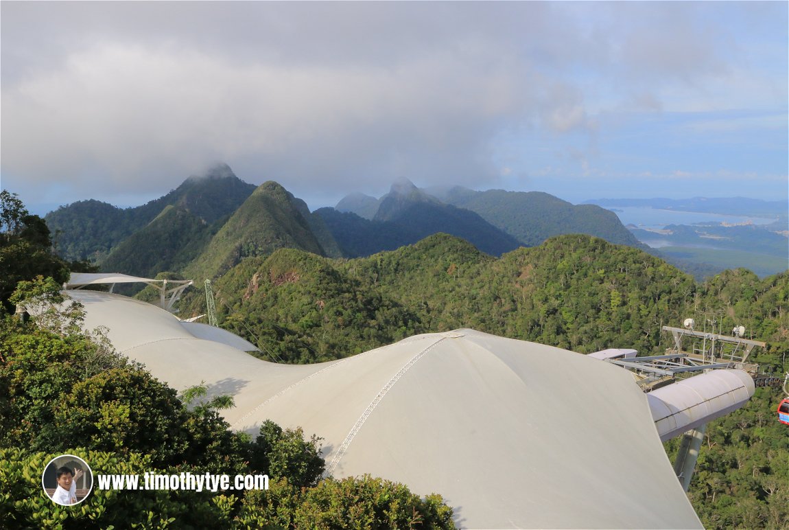 Craggy peaks of Gunung Machincang, with the Top Station of the Langkawi SkyCab in the foreground. (10 September, 2018)
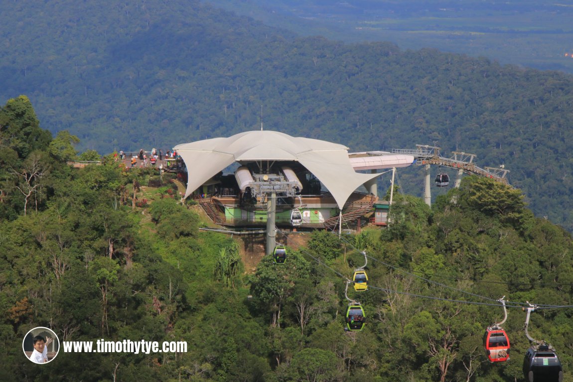 Middle Station of the Langkawi SkyCab at Gunung Machincang. (10 September, 2018)
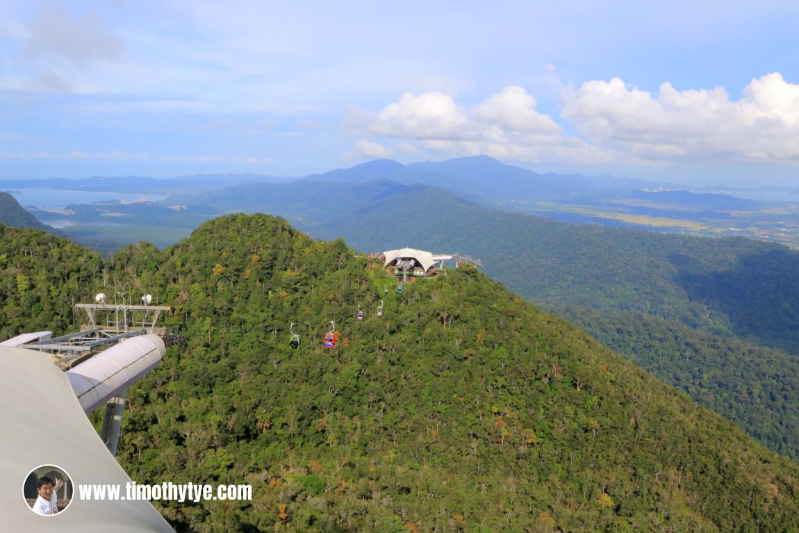 Middle Station of the Langkawi SkyCab (centre) sits on a ridge of Gunung Machincang. (10 September, 2018)
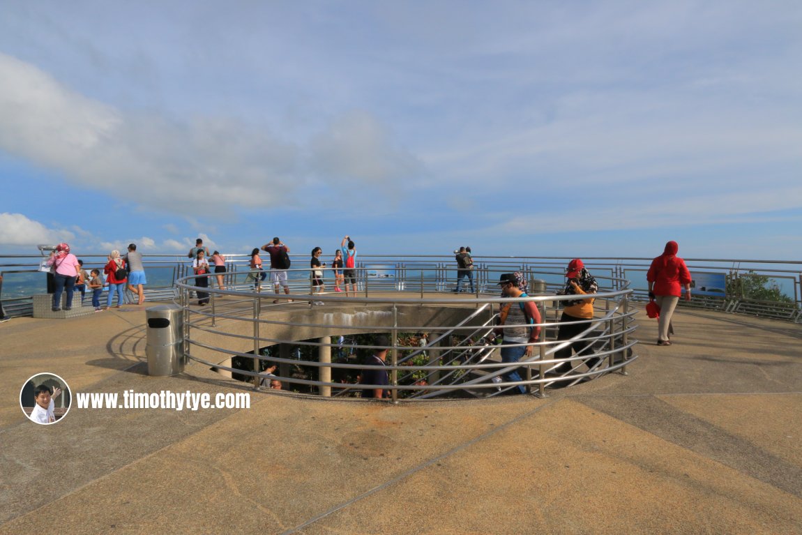 Circular viewing platform at the top of Gunung Machincang. (10 September, 2018)
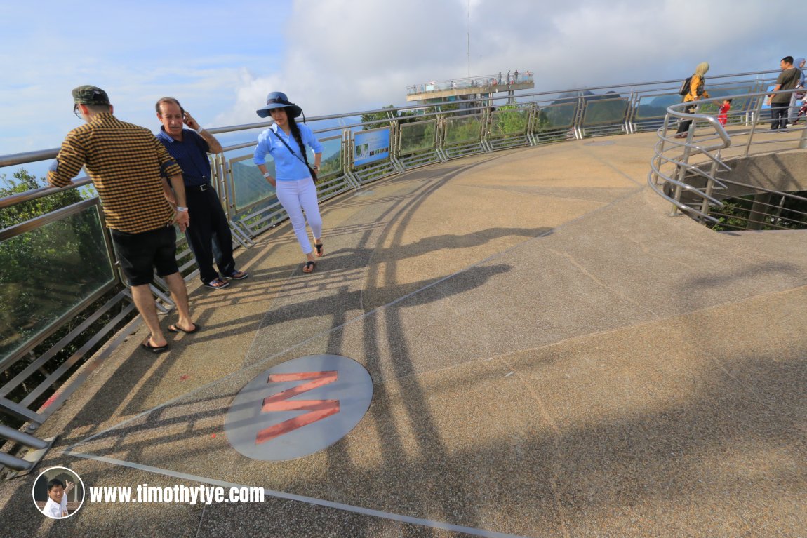 The cardinal directions are indicated on the floor of the viewing platforms. (10 September, 2018)
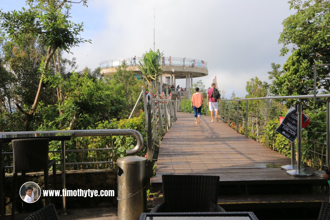 Wooden walkway between the two viewing platforms. (10 September, 2018)
360° View of Gunung Machincang, Langkawi on Google Maps Street View
A cable car ride goes up Gunung Machincang. Known as Langkawi SkyCab, is has become one of Langkawi's biggest tourist attractions. Each of the 35 gondolas can carry six persons. There are three stations all together, one at Oriental Village, while another two on Gunung Machincang. The cable cars travel a distance of over 2 kilometers up a vertical height of 680 meters.
There are two cable car stops on Gunung Machincang. The Middle Station is 1.7 kilometers from the bottom station. Both stations have viewing platforms that offer spectacular views of the Langkawi islands as well as mainland Kedah and even the Tarutao Islands of Thailand.
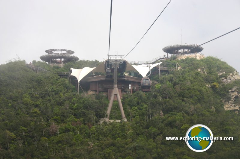 The cable-car station at Gunung Machincang (6 June, 2005)
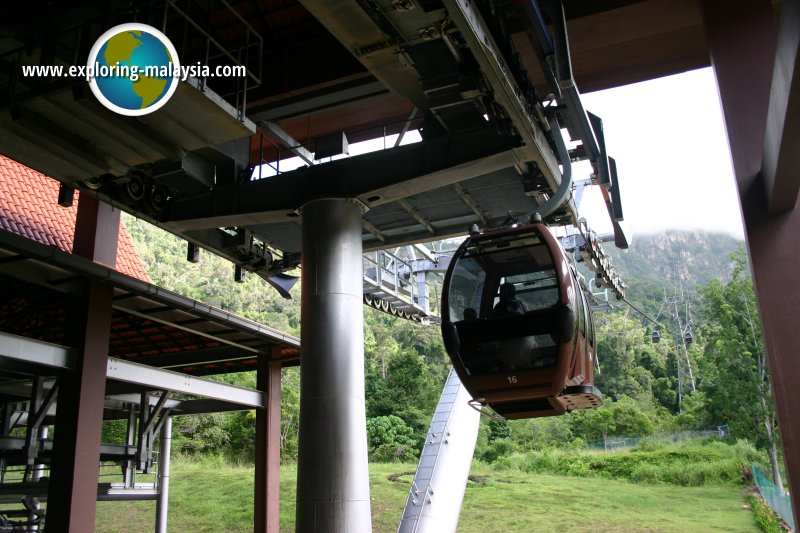 Gondola leaving the Bottom Station at Oriental Village. (6 June, 2005)
At the Top Station are two circular viewing platform. From there, it is a short walking distance to the Langkawi Sky Bridge, a crescent-shaped suspension bridge. This 125-meter (410-foot) cable-stayed pedestrian bridge was completed in 2005. Viewers on the bridge is 660 meters (2,170 feet) above sea level. The bridge was closed from July 2012 until February 2015 for maintenance, and is now once again fully accessible.
According to local folklore, Gunung Machincang, Gunung Raya and another smaller peak, Bukit Sawar, were once all human beings. They all shared the same martial arts guru. Machincang's daughter was engaged to Mat Raya's son. However, there was a big quarrel between the two men on the wedding day that descended into a fight between the two childhood friends. Pots and pans and kitchen utensils were soon sent flying at each other's family.
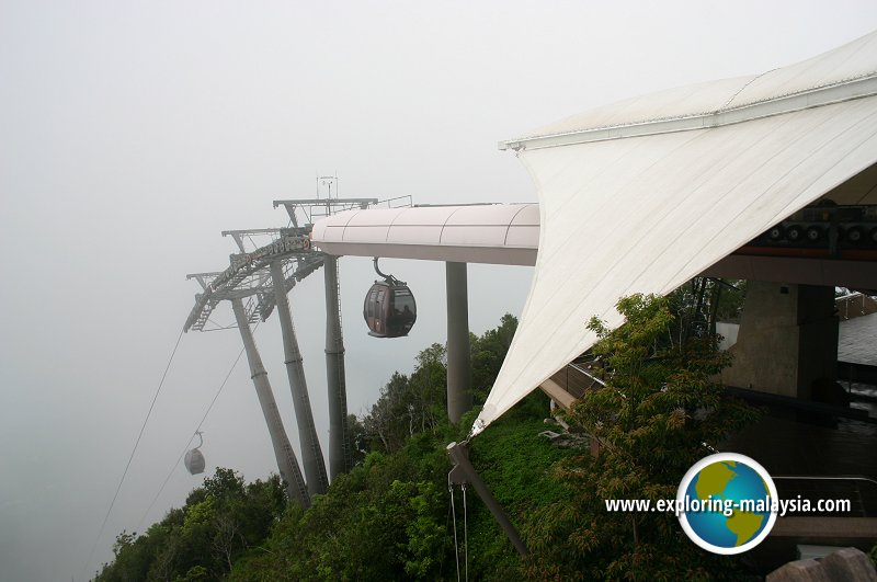 Gondola arriving at the Middle Station. (6 June, 2005)
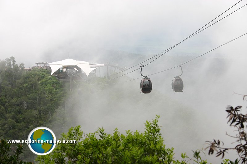 Gondola leaving the Middle Station for the Top Station. (6 June, 2005)
During the ensuing tussel, a big pot of curry for the wedding feast was overturned. The site where it fell and broke is now known as Belanga Pecah (Broken Cooking Pot). The gravy from the pot seeped into the ground at Kisap and stopped at Kuah (Gravy), Langkawi's capital.
A pot of hot water was also sent flying. The water dropped at Air Hangat (Hot Springs) while the pot itself with its ring handles fell into Selat Cincin (the Straits of Rings), the straits that separates Langkawi from Tarutao Islands of Thailand.
Eventually, Mat Sawar was able to stop the fight between Machincang and Mat Raya. They were however transformed into mountains, with little Bukit Sawar wedged between Gunung Machincang and Gunung Raya.
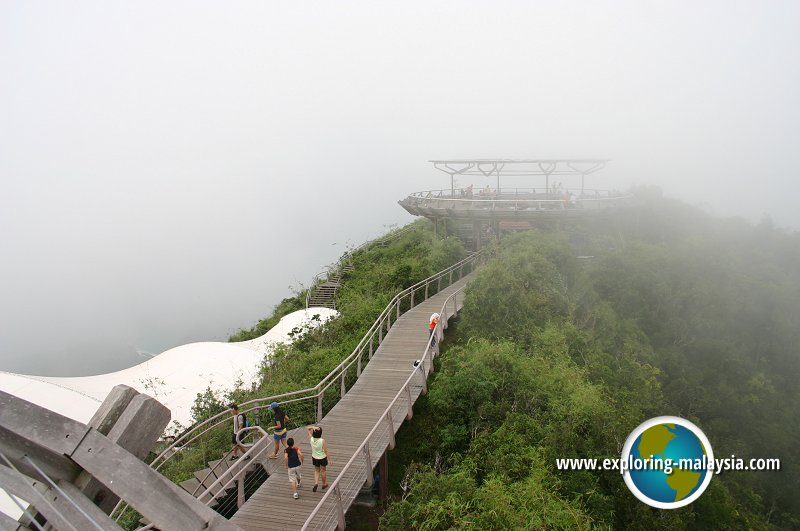 Walkway to the viewing platform at Gunung Machincang. (6 June, 2005)
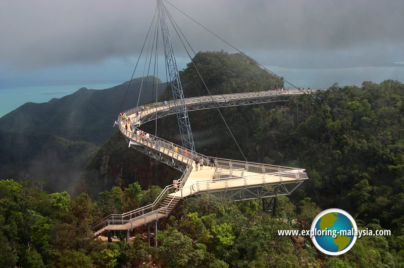 The Langkawi Sky Bridge at Gunung Machincang. (6 June, 2005)
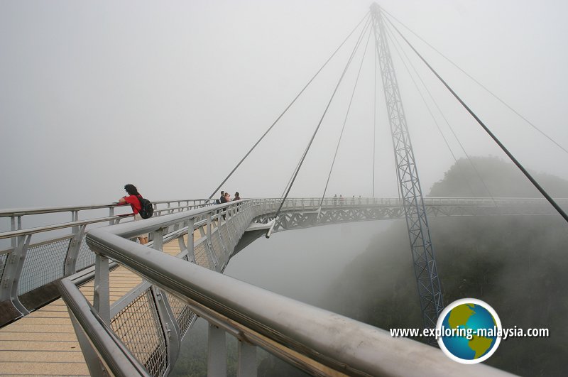 The crescent-shaped Langkawi Sky Bridge. (6 June, 2005)
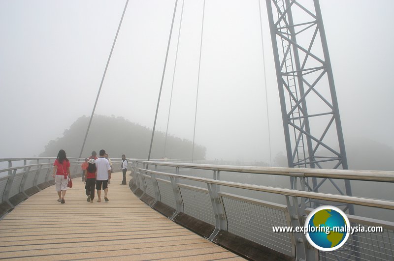 Visitors at the Langkawi Sky Bridge. (6 June, 2005)
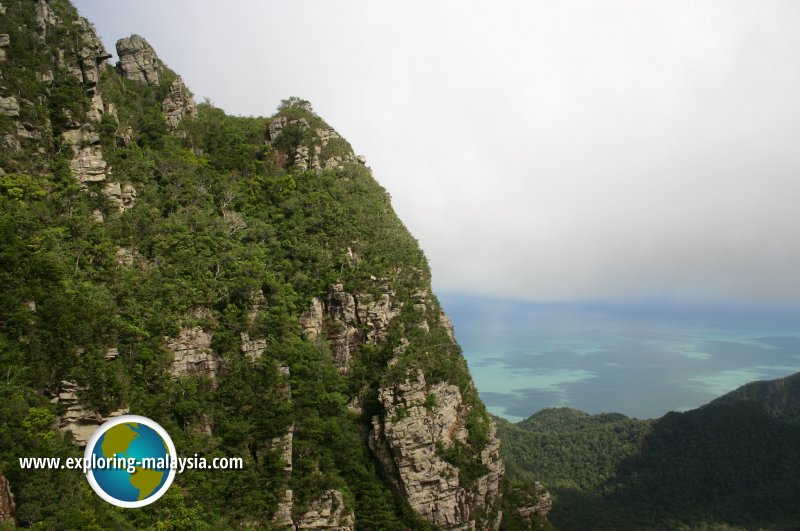 Craggy surface of Gunung Machincang, with the Andaman Sea in the distance. (6 June, 2005)
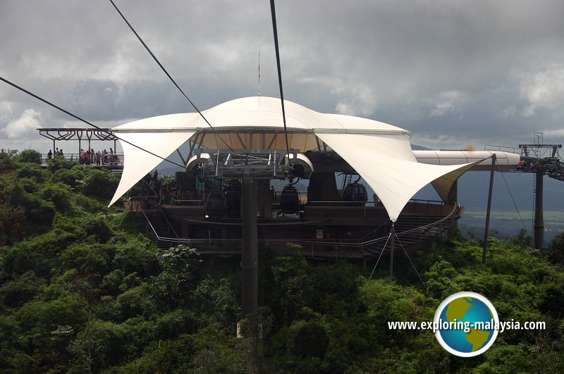 One of the stations of the Langkawi SkyCab. (6 June, 2005)
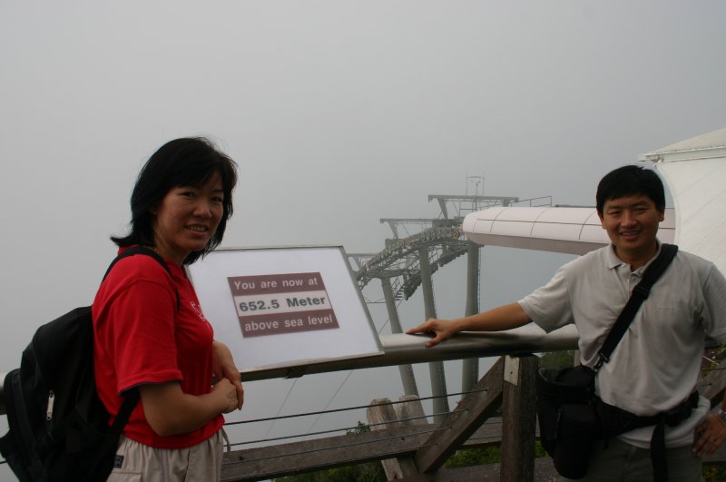 Timothy Tye and Goh Chooi Yoke at the Langkawi Sky Bridge (6 June, 2005)
Gunung Raya is  on the Map of Mountains in Kedah
Gunung Machincang is  on the Map of Langkawi
Back to Discover Langkawi mainpage; list of Mountains in Langkawi, Mountains in Kedah and Mountains in Malaysia
 Latest updates on Penang Travel Tips

Copyright © 2003-2025 Timothy Tye. All Rights Reserved.

 Go Back