 Langkawi UNESCO Global Geopark' Mangrove Boat Trip (10 September, 2018)
Langkawi UNESCO Global Geopark is a geographical park inscribed by UNESCO that covers the entire Langkawi archipelago. It preserves the best-exposed and most complete Paleozoic sedimentary sequence4 in Malaysia. The geopark status was according by UNESCO to Langkawi in 2007, making it the first and only geopark in Southeast Asia at that time, and the 52nd under the UNESCO Global Geoparks Network. (Since then, the Satun UNESCO Global Geopark in Thailand has also been inscribed, the second in Southeast Asia.) The Langkawi Geopark is said to have the best exposed and most complete Palaeozoic sedimentary sequence in Malaysia, formed during the Cambrian age 450-550 million years ago.
The geopark status covers the whole Langkawi archipelago, and the government agency entrusted to develop it is the Langkawi Development Authority (LADA). LADA has earmarked three places in Langkawi for Geopark development. They are:
 Machincang Cambrian Geopark Forest, Langkawi (6 June, 2005)
Machincang Cambrian Geopark Forest
Covering 4274 hectares, the forest has the oldest geological formation in Malaysia, the Machincang Formation, which includes Gunung Machincang. The area also includes Teluk Datai, which has the oldest deposit of sand rest, and Pantai Pasir Tengkorak, which has fine examples of sedimentary structures. Mangrove forest of Kilim Geoforest Park (10 September, 2018)
Kilim Karst Geoforest Park
Covering 2415 hectares, the Kilim Karst Geoforest Park is a landscape of limestone hills with a multitude of pinnacles of varying shapes and sizes. It encompasses three river basins, namely Kilim, Air Hangat and Kisap. Also included in the Kilim Karst Geoforest Park are the islands of Pulau Langgun and Pulau Tanjung Dendang. There is an extensive cave system within the Kilim Karst Geoforest Park. Among the caves found here include Gua Tok Jangkit, Gua Teluk Dedap, Gua Cerita, Gua Teluk Udang, Gua Siam, Gua Buaya, Gua Tanjung Dendang, and the most important, Gua Kelawar. Within the mangrove forest of the area are some species of beetles that have not been identified yet.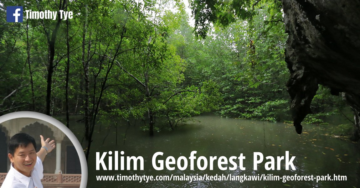
Kilim Geoforest Park
Details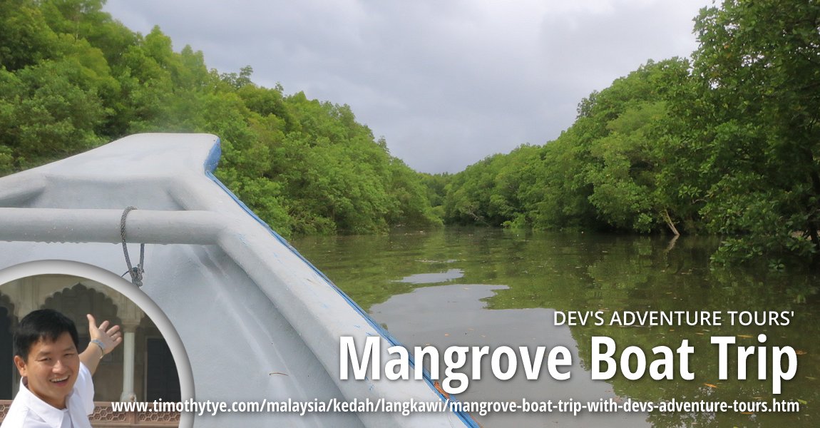
Mangrove Boat Trip with Dev's Adventure Tours
My boat trip with Dev's Adventure Tours through the mangrove forest of Kilim Geoforest Park.Details
Dayang Bunting Marble Geoforest Park
Covering 3850 hectares, the Dayang Bunting Marble Geoforest Park comprises the Setul Formation limestone outcrops. Within this area are a number of caves and Tasik Dayang Bunting, a freshwater lake created by the collapse of the roof of an underground cave. The area around Selat Dayang Bunting is also covered with mangrove forest.Back to Discover Langkawi mainpage; list of Forest Parks in Langkawi, Forest Parks in Kedah and Forest Parks in Malaysia
 Latest updates on Penang Travel Tips

Buy Me A Coffee
If you enjoy the information I provide and want to support the work I do, please buy me a coffee! I appreciate it immensely, thank you so much!

 Backtrack | HOME | Latest Updates |
Copyright © 2003-2026 Timothy Tye. All Rights Reserved.