 Kilim Geoforest Park, Langkawi (10 September, 2018)
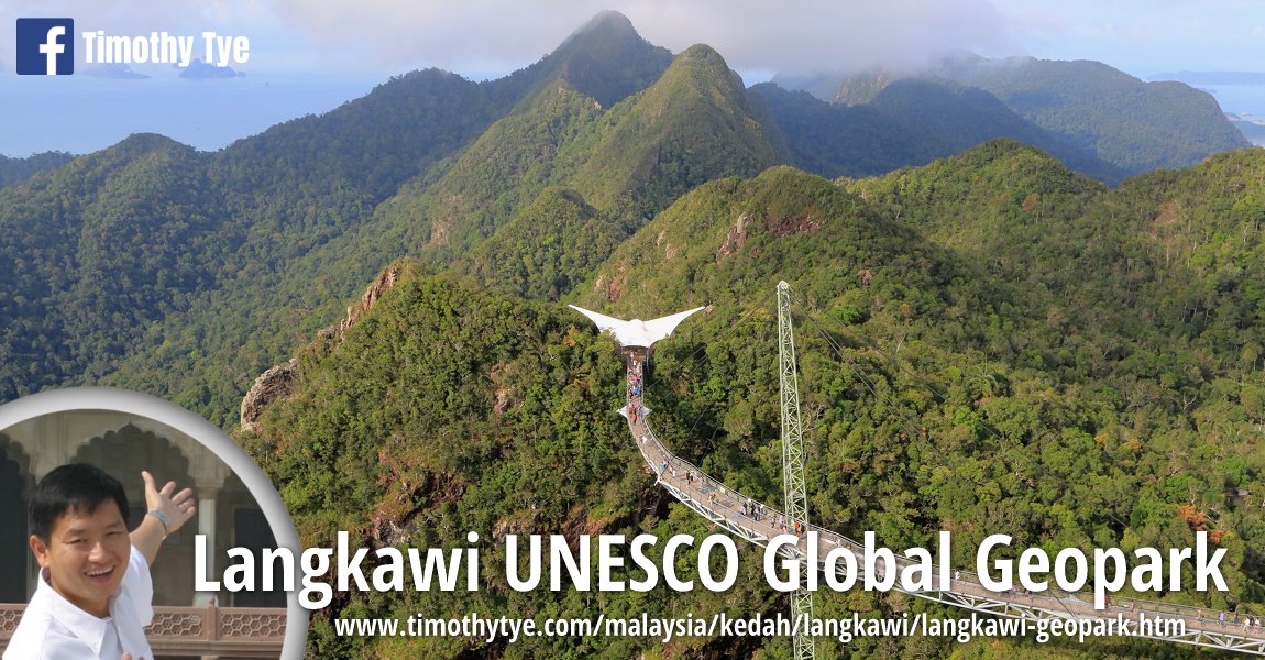
Kilim Geoforest Park (GPS: 6.406, 99.85897) is a national park on the northeastern part of Langkawi, in Kedah, Malaysia. It is part of the Langkawi UNESCO Global Geopark which was inscribed as the first UNESCO global geopark in Southeast Asia.
Covering an area of 83 square kilometers, the park protects the karst outcrops, mangrove ecosystem, including the numerous meandering rivers flowing through it. This geopark is home to a rich diversity of wildlife including monkeys, monitor lizards, otters, snakes, bats, various birds such as the white-bellied sea eagles (Haliaeetus leucogaster), brahminy kites (Haliastur indus), kingfishers, crabs, and even the Indo-Pacific humpback dolphins.
The Kilim Geoforest Park is also home to various plants, including the mangrove trees, shrubs, palms, ferns and orchids. Also found here is the limestone cycad (Cycas clivicola), a type of palm growing in the niches of the limestone cliffs. Its distribution include Langkawi, Perlis and the islands of southern Thailand such as those at Phangnga Bay National Park.
The inscription of Kilim Geoforest Park as a UNESCO global geopark has helped to preserve this mangrove wetlands, which are a vital fish breeding ground, as well as control of coastal erosion.
 Entrance to Kilim Karst Geoforest Park from Jalan Ayer Hangat, Langkawi. (8 September, 2018)
 My wife and I at the Kilim Geoforest Park, Langkawi (10 September, 2018)
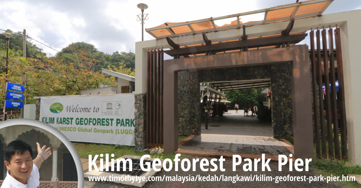
 Kilim Geoforest Park Pier, where boats take visitors to view and appreciate the mangrove forest. (10 September, 2018)
 One of many rocky outcrops in the Andaman Sea at Kilim Geoforest Park (10 September, 2018)
 Speedboat at one of the rivers at Kilim Geoforest Park (10 September, 2018)
 Mangrove trees at Kilim Geoforest Park (10 September, 2018)
 Santuari Bakau, a network of walkway through the mangrove forest at Kilim Geoforest Park (10 September, 2018)
Kilim Geoforest Park is  on the Map of Langkawi
Map of Kilim Geoforest Park
Back to Discover Langkawi mainpage; list of sights in Kilim Geoforest Park
- Amin Floating Restaurant (GPS: 6.41588, 99.86358)

- Gua Kelawar (GPS: 6.40208, 99.8589)

- Hole In The Wall Floating Restaurant (GPS: 6.41682, 99.863)

- Kilim Geoforest Park Pier (GPS: 6.40504, 99.85856)

- Kilim Geoforest Park signage (GPS: 6.42957, 99.86678)

- SAS Rimba Floating Fish Farm (GPS: 6.41767, 99.8627)

Features of Kilim Geoforest Park
Back to Discover Langkawi mainpage
 Latest updates on Penang Travel Tips

Buy Me A Coffee
If you enjoy the information I provide and want to support the work I do, please buy me a coffee! I appreciate it immensely, thank you so much!

 Backtrack | HOME | Latest Updates |
Copyright © 2003-2026 Timothy Tye. All Rights Reserved.