Page Street, London
Page Street, Westminster: From Industrial Past to Modern Living
Page Street is a residential street located in the heart of Westminster, in the City of Westminster, Central London. It runs in an east–west direction from Regency Street on its western end to the junction of Dean Ryle Street and John Islip Street on the eastern side. The street lies just south of Victoria Street and north of Horseferry Road, placing it within walking distance of iconic landmarks such as the Houses of Parliament and Westminster Abbey. It forms part of the well-connected Millbank Estate area.How Long is Page Street?
Page Street is approximately 0.2 miles long (roughly 320 metres). Although relatively short in length, it forms an important corridor in the local residential layout and is flanked by buildings of historical and architectural significance.The History of Page Street
The area around Page Street was historically low-lying marshland. In the 19th century, this part of Westminster became heavily industrialised and densely populated. Page Street itself was first laid out in the early 20th century, during a period of urban reform.Much of the current development along Page Street dates to the 1920s and 1930s. It became a focal point of social housing projects led by the London County Council (LCC), aiming to improve conditions in overcrowded slums. Architecturally, the street is noted for its early examples of municipal housing, including work by noted architect Sir Edwin Lutyens, whose flats along the eastern end of the street were completed in 1928.
Origin of the Name 'Page Street'
Page Street is believed to be named after William Page, a local landowner and property developer active in the 19th century. Although documentation is sparse, it's likely that the name was formalised around the time the street was first planned and laid out in the late 1800s or early 1900s.Streets and Roads That Connect to Page Street
Page Street connects to several other roads in Westminster:- Regency Street – a residential and commercial street on its western end.
- Marsham Street – a key north–south thoroughfare intersecting Page Street.
- Dean Ryle Street – forms part of the eastern junction.
- John Islip Street – also connects at the eastern end and leads south toward the River Thames.
Real Estate Prices on Page Street (As of April 2025)
Page Street remains relatively affordable compared to prime Westminster locations such as St James's or Belgravia, yet prices have risen steadily in recent years.As of April 2025:
- Two-bedroom flats (~700 sq ft / 65 sq m) sell for approximately £700,000 to £800,000.
- Larger three-bedroom flats (~900 sq ft / 84 sq m) range from £850,000 to £950,000.
Most properties on Page Street are in former council blocks or early 20th-century housing projects, making them more spacious than modern developments yet more affordable.
The Character of Page Street
Page Street is predominantly residential in character. The street is lined with low- to mid-rise blocks of flats, many of which were constructed as part of social housing initiatives. Despite its utilitarian roots, the street has a quiet, almost village-like atmosphere, with occasional local shops and amenities nearby.There are no major commercial or industrial establishments on Page Street, though government offices and cultural sites are just a short walk away.
Nearest Underground Stations and Transport Links
Page Street enjoys excellent transport connectivity. The nearest London Underground stations are:- Pimlico Station – on the Victoria Line, approximately 10 minutes' walk.
- St James's Park Station – on the District and Circle Lines, around 10 minutes' walk to the north.
- Westminster Station – on the Jubilee, District, and Circle Lines, roughly 12 minutes away by foot.
A Fun Fact About Page Street
A lesser-known architectural gem on Page Street is the block designed by Sir Edwin Lutyens in the late 1920s. Known for his stately homes and war memorials (including the Cenotaph on Whitehall), Lutyens applied his skills to social housing here, producing elegant, brick-built flats with decorative geometric patterns and detailed brickwork—considered one of the finest examples of early municipal architecture in London.These buildings were designated as Grade II-listed by Historic England, preserving their unique character and design for future generations.
Quick Facts About Page Street
Location: Westminster, City of Westminster, London
Length: Approx. 0.2 miles (320 metres)
First Developed: Early 20th century
Named After: William Page, landowner (19th century)
Main Connections: Regency Street, Marsham Street, Dean Ryle Street, John Islip Street
Character: Residential
Nearest Tube Stations: Pimlico (Victoria), St James's Park (District, Circle), Westminster (Jubilee, District, Circle)
Average Property Price (2025): £700,000–£950,000
Fun Fact: Features municipal flats designed by Sir Edwin Lutyens, now Grade II-listed
Map of Page Street, London
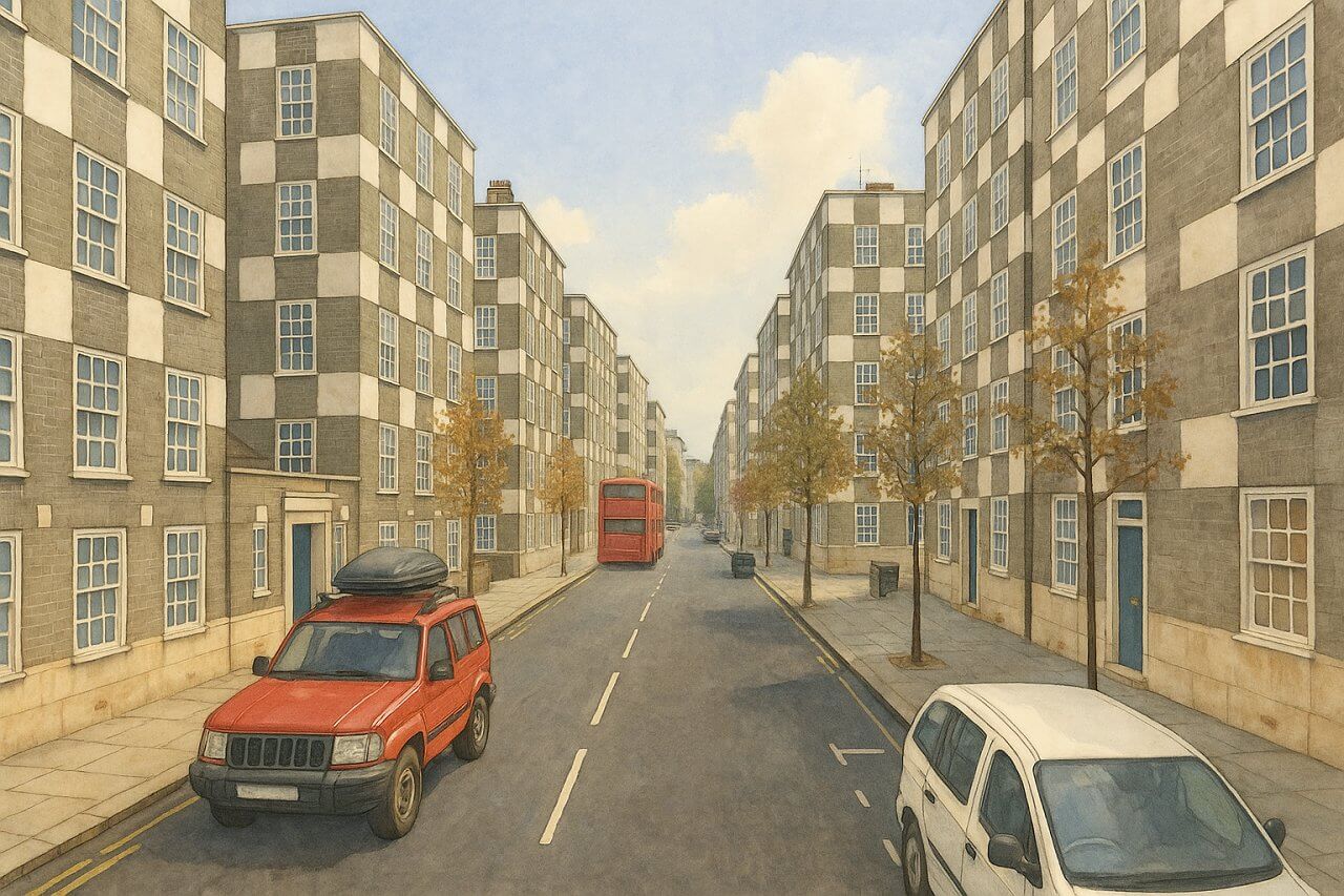
Painting of Page Street, London (View image in full size)
Page Details
This page was created on 2 May 2025. Hi, my name is Timothy and created it from my research, for my own entertainment, knowledge and to satisfy my curiosity. I am providing the information to you in good faith and hope it is useful. I try to get the details as accurate as possible. I also try to update the page whenever I stumble on new details. So this and all my other pages are perpetual work in progress. If you discover any error, please politely inform me, pointing out where the error lies, and I will correct it as soon as possible. Your helpfulness will keep this page accurate, relevant and helpful to those who need the information.Moving to London?
New to London and need a place to live? Read our Renting A Flat Guide. This guide covers everything you need to know about renting a flat in London, from viewing to signing.Streets of London
Come, let's explore and discover the streets of London together! Listed here afre the Streets of London that I have documented. Dive in and discover!Map of Streets in London
View all the streets that I have documented on Google Maps in this Map of Streets in London.Want to share your London travel experiences or get tips from fellow travellers?
Join the London Travel Tips Facebook GroupMore information for visiting London
Here are some related articles to help you get to know London better.- Cost of Living in London: Discover the true cost of living in London, including housing, transport, groceries, and more - plus tips for budgeting in one of the world's most expensive cities.
- Driving in London: Planning to drive in London? Learn about roads, car rentals, parking, tolls, and key tips for tourists and visitors from outside the capital.
- Driving Tips for Visiting London: Thinking of driving to London? Discover the best times to travel, congestion tips, parking apps, breakdown help, and petrol advice for a smoother journey.
- Evolution of London's Streets: Discover the fascinating history of how London's streets developed from ancient footpaths to today's complex network of roads across the capital.
- History of Immigration to London: Discover the rich history of immigration to London, from Huguenots to Bangladeshis, and how diverse communities have shaped the city's vibrant identity.
- How Big Is London Compared to Other World Cities?
- How London's Streets Measure Up: A Global Comparison of Road Widths
- How Streets of London are Named: Discover how London streets get their names, who decides them, and how historic, political, and public influences shape street naming in the capital.
- How the Grosvenor Family Came to Own Much of Mayfair, Belgravia and Pimlico: Explore how the Grosvenor family came to own much of Mayfair, Belgravia, and Pimlico, and learn about their historical connection (or lack thereof) with the British royal family and government.
- Living and working in London
- London's Quiet Collapse: How Living Standards Fell as Costs Skyrockted (1975-2025): Explore how London residents endured rising costs and falling living standards from 1975 to 2025 - from rocketing rents to wage stagnation and inflation.
- Marvel of the London Underground: Discover the history, challenges, and triumphs of the London Underground - the world's first underground railway and a vital transport lifeline for the UK capital since 1863.
- Moving to London: Expat Tips for Settling in Westminster: Essential advice for expats moving to London's Westminster: neighborhood insights, cost of living, transportation, housing, healthcare, schools, and tips to help you feel at home in the heart of the city.
- Places in London that aren't pronounced the way they're spelled
- Shopping in London: Discover London's diverse shopping scene
- Taking the bus in London: This is your complete guide to taking the bus when in London.
- The Anglican Faith: A Visitor's Guide to the Church of England: Learn about the Anglican faith and its deep ties to London's landmarks like Westminster Abbey and St Paul's Cathedral.
- Top 10 London Streets Every Visitor Must See: Discover London through its most iconic thoroughfares - 10 streets every visitor must experience. From historic Abbey Road to vibrant Camden High Street, explore culture, shopping, and hidden gems.
- Why are most roads in Central London so narrow? Learn why there are so few multi-lane roads and elevated highways in the heart of the city.

