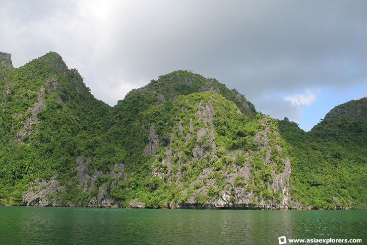
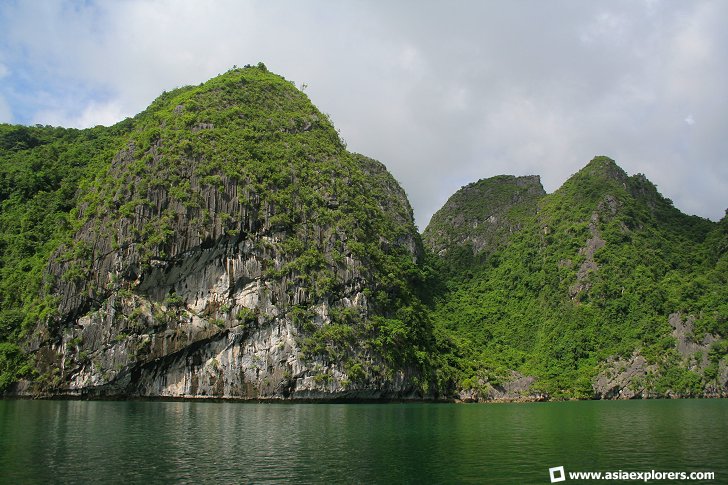
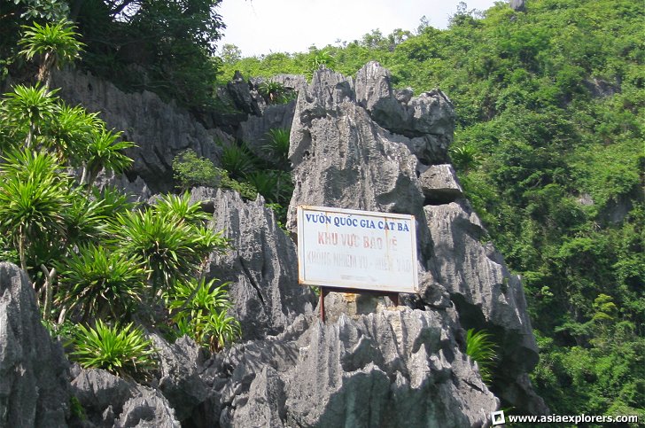
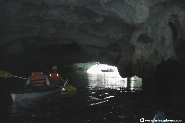
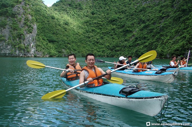
Cat Ba National Park is centred on Cat Ba Island, the largest island in Halong Bay. The Cat Ba archipelago itself comprises 366 islents and islands. Together they cover an area of 20,000 hectares of limestone islands. When I visited Halong Bay with a group of AsiaExplorers members, we had an opportunity to kayak in Cat Ba National Park. The kayaking session was long and exhausting, but ultimately fulfilling, as we rowed from island to island, and on our return journey, even had to row across the open sea.
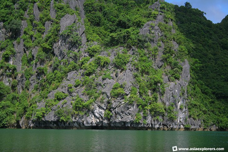
Most of the islets dotting Cat Ba National Park is covered with vegetation, although there are sheer limestone cliffs where hardly anything grew. Nonetheless, it is not uncommon to sea tenacious shrubs clinging to those otherwise barren cliffs, and on occasion, we even saw mountain goats and monkeys on the cliffs. The feeling of kayaking through the labyrinthine maze of islands, where the only sound was that of your oar on the water, was simply magnificent.
There is at least one floating village in the national park. They earn a living through shrimp and fish farming, and from the occasional tourist boat that drop by. As soon as our junk arrived, the villagers rowed towards us with their wares, nothing of value and nothing that we need.
Going to Cat Ba National Park
The easiest way to reach Cat Ba National Park is to book a tour of Halong Bay. There is plenty to choose from in Hanoi. Cat Ba National Park (31 August, 2016)
 Cat Ba National Park (31 August, 2016)
 Cat Ba National Park (31 August, 2016)
 Cat Ba National Park (31 August, 2016)
 Cat Ba National Park (31 August, 2016)
 Cat Ba National Park (31 August, 2016)
 Cat Ba National Park (31 August, 2016)
 Cat Ba National Park (31 August, 2016)
 Cat Ba National Park (31 August, 2016)
 Latest updates on Penang Travel Tips
 Map of Roads in Penang
Looking for information on Penang? Use this Map of Roads in Penang to zoom in on information about Penang, brought to you road by road.
Copyright © 2003-2025 Timothy Tye. All Rights Reserved.

 Go Back