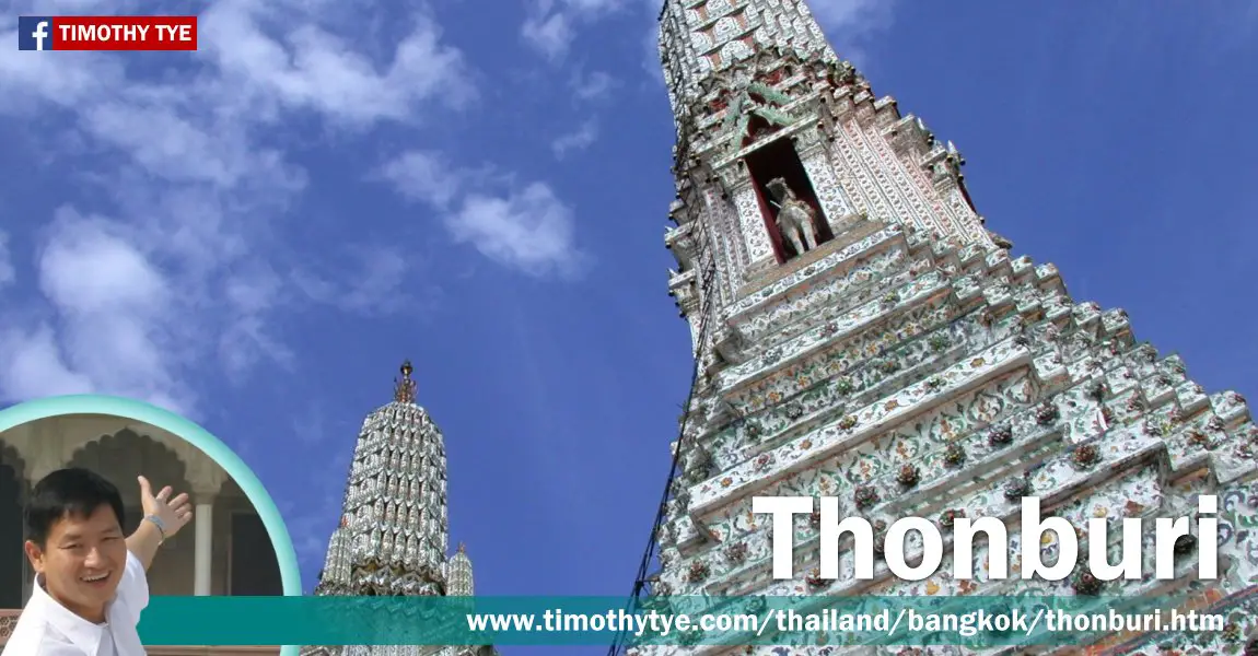
 Thonburi, Bangkok, Thailand (30 December, 2002)
Thonburi (Thai: ธนบุรี
 ) is the neighborhood of Bangkok, Thailand, on the eastern bank of the Chao Phraya River. It was here that, after the fall of Ayutthaya to the Burmese in 1767, General Taksin established the new capital of Siam in 1782.
The old king of Ayutthaya, King Ekkathat, according to Siamese chronicles, died of starvation while in hiding from the Burmese. His body was discovered by the Burmese in Ban Chik Wood, adjacent to Wat Sangkhawat, and was buried in front of the Thai temple of Phra Wihan Phra Mongkhonlabophit. The Burmese chronicles offered a different version however, stating that he was shot dead while fleeing the palace.
In any case, the Siamese throne, devoid of a king, was filled by General Taksin himself, who crowned himself king on 28 December, 1768, at Wang Derm Palace in Thonburi. As a general of the Thai army, he managed to escape from Ayutthaya. He travelled to Chonburi, and then to Rayong, both on the east coast of Thailand. From there, he fought his way back, heading a troop of 500. The spot in Rayong where Taksin tethered his elephants is now the Shrine of King Taksin. From Rayong, Taksin proceeded to Chanthaburi, which was where the Burmese were forced back.
Taksin took the title Boromraja IV, but is known in history as King Taksin. His reign, however, lasted only until 1782, when the strain of ruling took its toll, making him mentally troubled and his behaviour peculiar. Eventually he was deposed - the reason given was that he had become insane, perhaps true, and perhaps just an excuse for his overthrow.
General Chao Phraya Chakri, who was away in Cambodia, during the coup d'état on King Taksin, returned and was chosen to take over the throne, establishing the House of Chakri that continues to this day. According to Royal Thai Chronicles, Taksin was beheaded in front of Wichai Prasit Fortress on 10 April, 1782.
However, the Official Annamese Chronicles stated General Chakri ordered that he be put to death at Wat Chaeng, by being sealed in a sack and beaten to death with a scented sandalwood club, so that royal blood should not be spilled. The account also claimed that Taksin's life was spared; a substitude was beaten to death in his place, and he actually was taken away to Nakhon Si Thammarat, where he lived until 1825. In any case, his ashes and that of his wife are found at Wat Intharam in Thonburi, encased in two lotus-shaped stupas.
The same year that General Chakri was crowned, he moved the capital across the river from Thonburi to Rattanakosin, to the site we know in English today as Bangkok.
Today Thonburi is the most populous neighbourhood of Bangkok, with a population exceeding 600,000. It has a number of sights and temples, the most famous of which is Wat Arun, the Temple of Dawn.
Map of Thonburi
Sights in Thonburi
- Church of Santa Cruz (GPS: 13.73899, 100.4938)

- Siriraj Medical Museum (GPS: 13.75879, 100.48511)

- Royal Barge Museum (GPS: 13.7619, 100.48453)

- King Taksin the Great Monument (GPS: 13.72631, 100.49311)

- Wat Arun (Temple of Dawn) (GPS: 13.7437, 100.48892)

- Wat Kalayanimit Woramahawihan (GPS: 13.73991, 100.49128)

- Wat Prayunwongsawat Worawihan (GPS: 13.73677, 100.49569)

- Wat Rakhang Kositaram Woramahawihan (GPS: 13.75266, 100.48512)

- Wat Suwannaram Ratchaworawihan (GPS: 13.7633, 100.47682)

How to reach Thonburi
For most tourists, the easiest way to reach Thonburi is to take a riverboat. There are several piers where you can take boat such as the one at Sathorn Taksin, near Silom, and Phra Arthit, at Banglamphu. You can also take a taxi across.List of Neighbourhoods in Bangkok; list of Districts of Bangkok
 Latest updates on Penang Travel Tips
 Map of Roads in Penang
Looking for information on Penang? Use this Map of Roads in Penang to zoom in on information about Penang, brought to you road by road.
Copyright © 2003-2025 Timothy Tye. All Rights Reserved.

 , Bangkok, Thailand
 Go Back