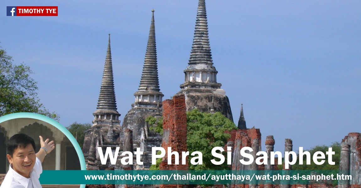
 Wat Phra Si Sanphet, Ayutthaya (30 December, 2002)
Wat Phra Si Sanphet (GPS: 14.35597, 100.55835; วัดพระศรีสรรเพชญ์
 ) are the ruins of the royal temple of Ayutthaya, Thailand. Located at the southern fringe of the Royal Palace of Ayutthaya, it is characterized by its three bell-shaped chedis that stand in a row. On weekends it can get quite crowded when throngs of tourists and visitors flooding in from Bangkok into Ayutthaya for day trips.
The site on which Wat Phra Si Sanphet stands today was formerly occupied by the original structures of Ayutthaya's Royal Palace. When King Borom Trai-Lokkanat came into power in 1448, he decided to transform the royal palace grounds into a Buddhist compound. To do this, he moved the royal residence northwards, and built a new palace complex near the banks of the Lop Buri river moat. However, the temple of Wat Phra Si Sanphet was only erected by his son, King Ramathibodi II. In doing so, it caused the moving of the Buddhist centre of Ayutthaya from Wat Mahathat over here, into the compound of the Royal Palace.
In 1492, Ramathibodi II completed the first two chedis of the three chedis: the one on the east, and the one in the middle. The east chedi enshrines the relics of his father, King Borom Trai-Lokkanat. The one in the middle enshrines the relics of his brother, King Borom Rachathirat III (aka Boromaraja III). Later his son built the final chedi, the one on the west, to enshrine Ramathibodi II's own relics. Each of these chedis has a mondop to the east of it. Only the mondop of King Borom Trai-Lokkanat has its brick walls still standing.
The design of the three main chedis of Wat Phra Si Sanphet reflects the move towards adopting the Sukhothai temple architecture style, moving away from the Khmer style. This is seen in how each chedi has four jutting avant-corps, each in a cardinal direction. These avant-corps are topped with a small stupa each.
In 1499, the main hall of the temple, or Viharn Luang, was erected. The following year, a huge Buddha statue was created to be placed in it as the temple's principal statue. The statue was called Phra Si Sanphet. When the Burmese ransaked Ayutthaya in 1767, they removed the gold from the statue, badly damaging it. Later, King Rama I had it taken to Bangkok, to attempt repairing it. Unfortunately, it was too badly damaged, so the king had a big chedi constructed to house it.
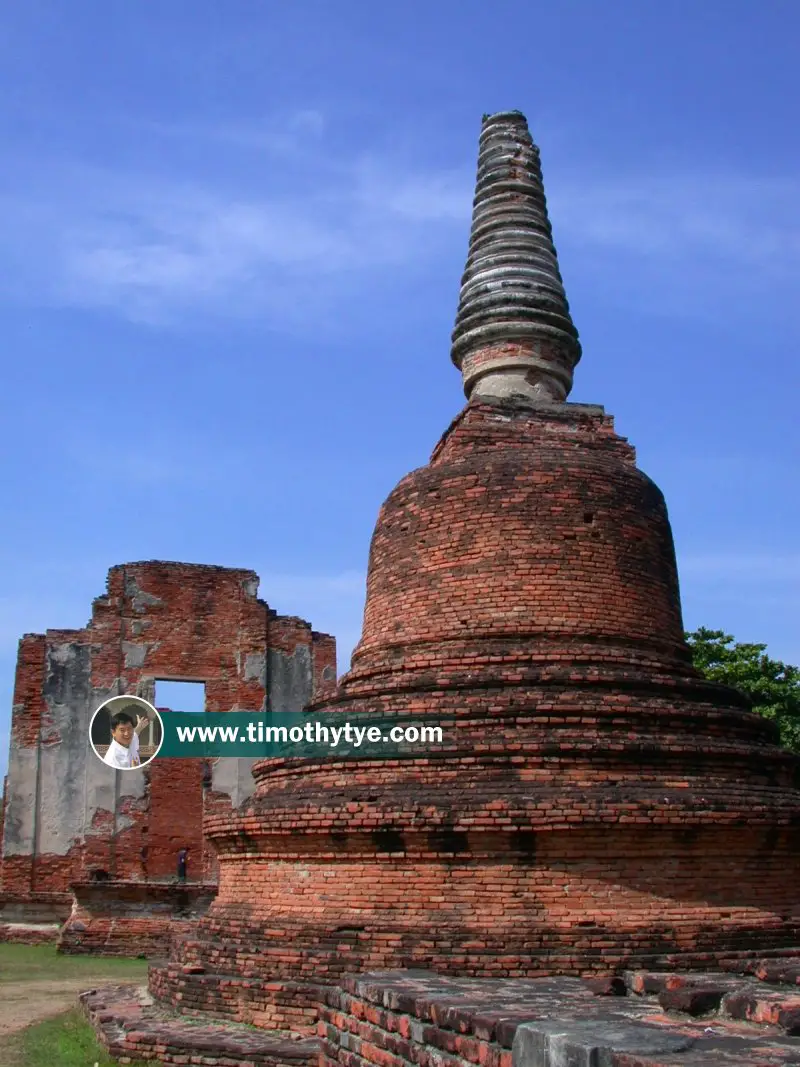 One of the brick bell-shaped stupas (GPS: 14.356246, 100.559949), or chedi, of Wat Phra Si Sanphet, Ayutthaya (30 December, 2002)
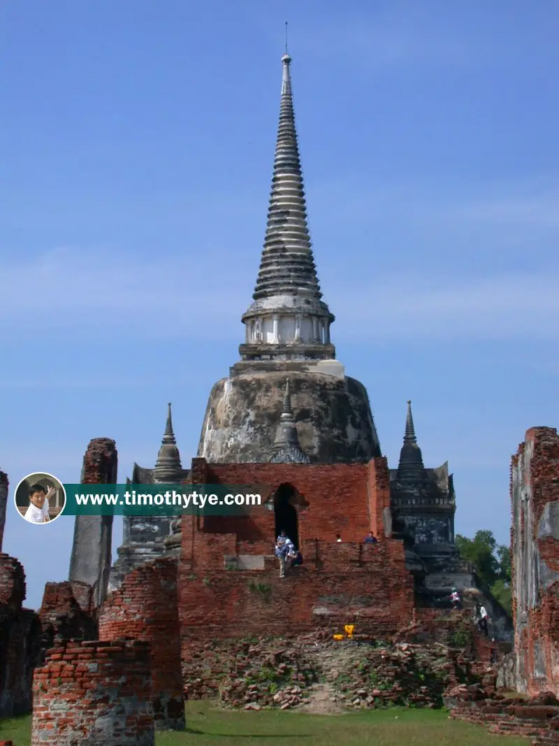 View of King Borom Trai-Lokkanat's Chedi (GPS: 4.355907, 100.558686) with three of its four avant-corps visible. (30 December, 2002)
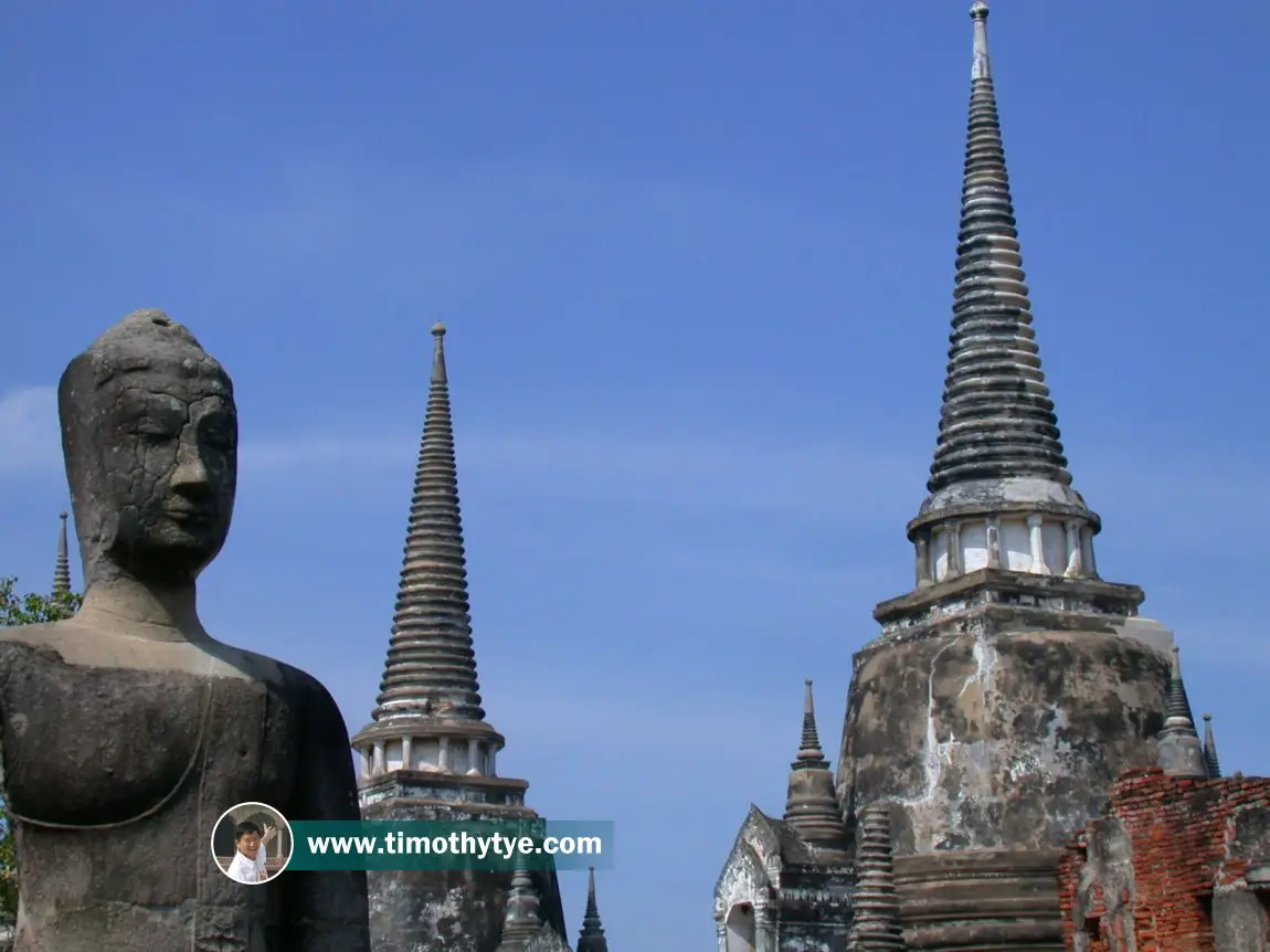 View of a Buddha statue and the chedis of Wat Si Sanphet in the background. (30 December, 2002)
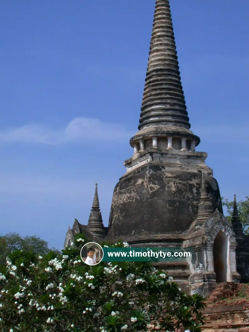 One of the chedi of Wat Phra Si Sanphet. (30 December, 2002)
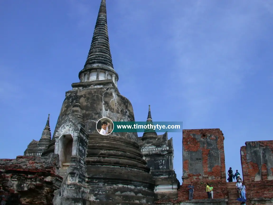 The chedi of King Borom Trai-Lokkanat, with tourists at its mondop. (30 December, 2002)
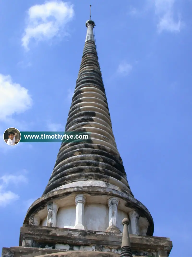 The spire of the chedi of Wat Phra Si Sanphet comprises rings of diminishing sizes atop a neck with corbelled columns. (30 December, 2002)
Wat Phra Si Sanphet is  on the map of Ayutthaya
List of Wats in Ayutthaya and Wats in Thailand
 Latest updates on Penang Travel Tips
 Map of Roads in Penang
Looking for information on Penang? Use this Map of Roads in Penang to zoom in on information about Penang, brought to you road by road.
Copyright © 2003-2025 Timothy Tye. All Rights Reserved.

 , Ayutthaya
 Go Back