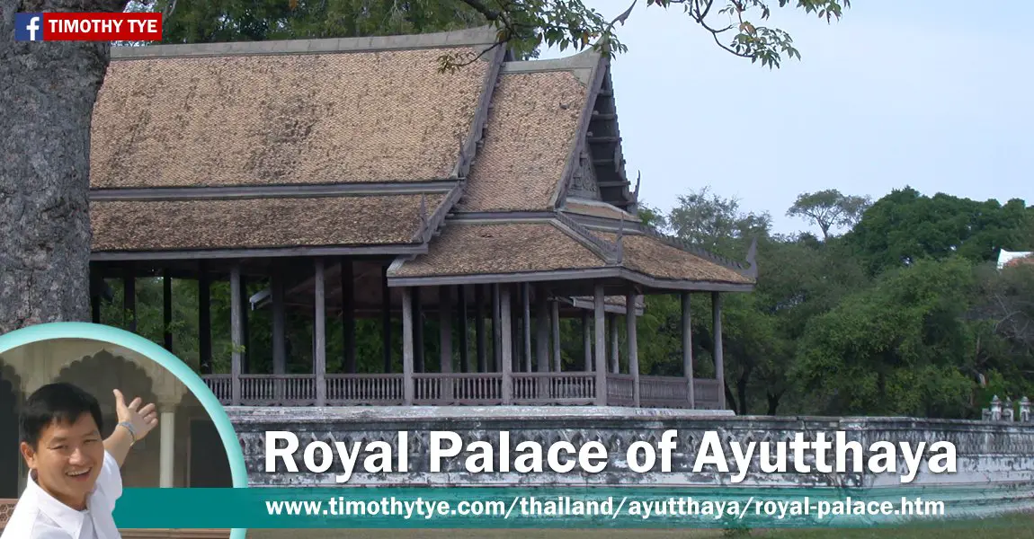
 Trimuk Pavilion, Royal Palace of Ayutthaya (30 December, 2002)
The ruins of the Royal Palace of Ayutthaya (GPS: 14.35919, 100.55769; Thai: วังหลวง
 ) is located on the northern part of the old city of Ayutthaya, Thailand. This is all that is left of the glorious palace after it was destroyed by the Burmese. Do not expect to see the grandeur of the Grand Palace of Bangkok duplicated here.
In 1767, when the Burmese invaded Ayutthaya and razed the royal palace to the ground, along with most of the important buildings of the city. Hence, most of what's left are today ruins.
The Grand Palace was originally located on the site of Wat Phra Si Sanphet. When King Borom Trai-Lokkanat ascended the throne, he moved the royal palace northwards, to the bank of the Lop Buri, and gave the site of the former palace for the construction of Wat Phra Si Sanphet. Bencharatana Mahaprasat and Sanphet Mahapraset were the two palaces built first. When Bencharatana Mahaprasat was burnt down, King Narai rebuilt it, and changed its name to Suriyat Amarin Hall. This was followed by the Mangkhalaphisek Palace. A total of sixteen kings used the Royal Palace over a period of 182 years.
One of the pavilions still standing is Trimuk Pavilion. Although there was no record of when it was built, the earliest document showed that King Rama V used it during his visit to Ayutthaya in 1908.
The Grand Palace is open daily from 08:00 am to 06:30 pm.
The Royal Palace of Ayutthaya is  on the map of Ayutthaya
 Latest updates on Penang Travel Tips
 Map of Roads in Penang
Looking for information on Penang? Use this Map of Roads in Penang to zoom in on information about Penang, brought to you road by road.
Copyright © 2003-2025 Timothy Tye. All Rights Reserved.

 , Thailand
 Go Back