Borough High Street, London
Where is Borough High Street?
Borough High Street is located in the London Borough of Southwark, just south of the River Thames. It runs through the heart of historic Southwark, forming a key thoroughfare linking London Bridge to the south London suburbs.It is considered the southern continuation of London Bridge, starting just as the bridge ends and extending into the heart of Borough, making it an important artery for both pedestrians and vehicular traffic.
How Long is Borough High Street?
Borough High Street stretches for approximately 0.5 miles (0.8 kilometres). While relatively short in length, it plays a major role in London's traffic flow and urban heritage, acting as a central point in Southwark's road network and a historic gateway into the city.History of Borough High Street
The origins of Borough High Street can be traced back to Roman Londinium. It was once part of the Roman road known as Stane Street, which connected Londinium to Chichester on the south coast. This made it one of the earliest and most significant routes into the city from the south.During the medieval period, it developed into a bustling commercial route, especially because London Bridge was the only bridge over the Thames at the time. The street became lined with coaching inns, shops, and homes, serving as the main route for travellers entering the city from the south.
In the 18th and 19th centuries, Borough High Street saw major developments, including the construction of Southwark Cathedral's current building and the expansion of nearby railway infrastructure. It remains a historic and vital London street to this day.
How Did It Get Its Name?
The name “Borough High Street” reflects both its geographical and administrative significance. The word “Borough” refers to the old Borough of Southwark, historically known as “The Borough”, which for many centuries was administratively separate from the City of London despite being just across the river.The term “High Street” denotes its status as the main commercial road in the area. The street has been known as Borough High Street since at least the 17th century, when street naming became more formalised.
So, it is named after the place it runs through—Southwark, also known historically as The Borough—and not after an individual.
Roads Connected to Borough High Street
Borough High Street is a key junction in south London and connects to numerous roads. These include:- London Bridge (to the north)
- Southwark Street
- Union Street
- Marshalsea Road
- Borough Road
- Great Dover Street
- Long Lane
- Trinity Street
- Newcomen Street
- Tabard Street
Major Buildings on the East and West Sides
East Side:- Southwark Cathedral – One of London's oldest churches, located near the northern end close to London Bridge.
- The Borough Market – A world-renowned food market, just a short turn off from the street.
- Guy's Hospital – A major NHS hospital with a medical school, also located near London Bridge station.
- The George Inn – A historic coaching inn dating from the 17th century, now owned by the National Trust and operating as a pub.
- St George the Martyr Church – An 18th-century church at the southern end of the street.
- Borough Underground Station – Located near the southern end, offering vital transport connections.
Nearest London Underground Stations
Borough High Street is well-served by public transport. The nearest Underground stations are:- London Bridge Station – Served by the Jubilee and Northern lines (Bank branch). Also serves mainline rail.
- Borough Station – Served by the Northern line (Bank branch). Located at the southern end of the street.
- Southwark Station – About a 10-minute walk west of Borough High Street, served by the Jubilee line.
Fun Facts about Borough High Street
- Borough High Street is home to The George Inn, the only surviving galleried coaching inn in London. It was visited by none other than Charles Dickens, who mentioned it in Little Dorrit.
- The street was a major pilgrimage route in medieval times. Pilgrims heading to Canterbury would often depart from the Tabard Inn, once located on Borough High Street. This inn was famously featured in Chaucer's *Canterbury Tales*.
- The area around Borough High Street has seen a cultural revival in recent years, becoming a foodie destination thanks to Borough Market and the many restaurants and eateries that line the street and its side alleys.
- There's a blue plaque marking the former site of the Marshalsea Prison, made famous by Dickens in *Little Dorrit*. Dickens' father was imprisoned there, and the author himself lived nearby as a child.
A Living Link Between Past and Present
Borough High Street is far more than just a road—it's a vital historical artery of London, weaving together Roman heritage, medieval commerce, literary history, and modern vibrancy.Whether you're walking the route of ancient pilgrims, enjoying a drink at a historic inn, or heading to the market for lunch, you'll find that Borough High Street offers a rich, multi-layered experience for locals and visitors alike.
Map of Borough High Street, London
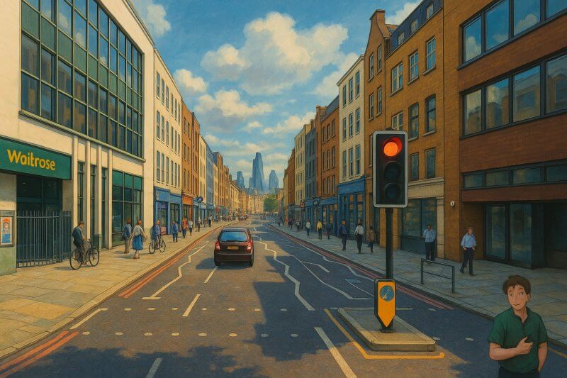
Painting of Borough High Street (View full-size image here)
Moving to London?
New to London and need a place to live? Read our Renting A Flat Guide. This guide covers everything you need to know about renting a flat in London, from viewing to signing.Streets of London
Come, let's explore and discover the streets of London together! Listed here afre the Streets of London that I have documented. Dive in and discover!Map of Streets in London
View all the streets that I have documented on Google Maps in this Map of Streets in London.Want to share your London travel experiences or get tips from fellow travellers?
Join the London Travel Tips Facebook GroupMore information for visiting London
Here are some related articles to help you get to know London better.- Cost of Living in London: Discover the true cost of living in London, including housing, transport, groceries, and more - plus tips for budgeting in one of the world's most expensive cities.
- Driving in London: Planning to drive in London? Learn about roads, car rentals, parking, tolls, and key tips for tourists and visitors from outside the capital.
- Driving Tips for Visiting London: Thinking of driving to London? Discover the best times to travel, congestion tips, parking apps, breakdown help, and petrol advice for a smoother journey.
- Evolution of London's Streets: Discover the fascinating history of how London's streets developed from ancient footpaths to today's complex network of roads across the capital.
- History of Immigration to London: Discover the rich history of immigration to London, from Huguenots to Bangladeshis, and how diverse communities have shaped the city's vibrant identity.
- How Big Is London Compared to Other World Cities?
- How London's Streets Measure Up: A Global Comparison of Road Widths
- How Streets of London are Named: Discover how London streets get their names, who decides them, and how historic, political, and public influences shape street naming in the capital.
- How the Grosvenor Family Came to Own Much of Mayfair, Belgravia and Pimlico: Explore how the Grosvenor family came to own much of Mayfair, Belgravia, and Pimlico, and learn about their historical connection (or lack thereof) with the British royal family and government.
- Living and working in London
- London's Quiet Collapse: How Living Standards Fell as Costs Skyrockted (1975-2025): Explore how London residents endured rising costs and falling living standards from 1975 to 2025 - from rocketing rents to wage stagnation and inflation.
- Marvel of the London Underground: Discover the history, challenges, and triumphs of the London Underground - the world's first underground railway and a vital transport lifeline for the UK capital since 1863.
- Moving to London: Expat Tips for Settling in Westminster: Essential advice for expats moving to London's Westminster: neighborhood insights, cost of living, transportation, housing, healthcare, schools, and tips to help you feel at home in the heart of the city.
- Places in London that aren't pronounced the way they're spelled
- Shopping in London: Discover London's diverse shopping scene
- Taking the bus in London: This is your complete guide to taking the bus when in London.
- The Anglican Faith: A Visitor's Guide to the Church of England: Learn about the Anglican faith and its deep ties to London's landmarks like Westminster Abbey and St Paul's Cathedral.
- Top 10 London Streets Every Visitor Must See: Discover London through its most iconic thoroughfares - 10 streets every visitor must experience. From historic Abbey Road to vibrant Camden High Street, explore culture, shopping, and hidden gems.
- Why are most roads in Central London so narrow? Learn why there are so few multi-lane roads and elevated highways in the heart of the city.

