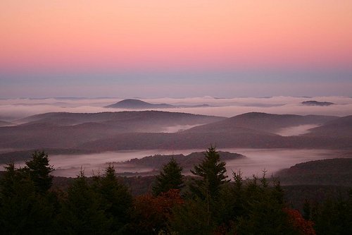
 West Virginia, Cranberry Glades Botanical Area, West Virginia
Source: https://commons.wikimedia.org/wiki/File:Cranberry-glades-fog-1.jpg
Author: Forest Wander

West Virginia is a state in the Appalachian region as well as the Mid-Atlantic region of the United States. Covering an area of 24,230 sq mi (62,755 sq km), West Virginia ranks 41 out of the 50 states in terms of size. It measures 240 miles (385 km) across and 130 miles (210 km) in width.
West Virginia is bordered by Pennsylvania to the north, Maryland to the northeast, Virginia to the east, Kentucky to the southwest and Ohio to the northwest. The highest point in West Virginia is the 4,863-foot (1,427-meter) Spruce Knob.
West Virginia has a population of 1.8 million people. It ranks 37th in terms of population. The largest city as well as capital of West Virginia is Charleston. Until its admission to Union on 20 June, 1863, West Virginia was part of Virginia. It was the 35th state to join the United States. It is located in the Eastern time zone (-5/-4 GMT). The abbreviation for West Virginia is WV.
 Spruce Knob, West Virginia
Source: https://commons.wikimedia.org/wiki/File:Spruce-knob-morning-sky.jpg
Author: ForestWander

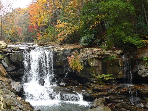
 Laurel Creek Falls, West Virginia
Source: https://commons.wikimedia.org/wiki/File:Laurel_Creek_Falls-27527.jpg
Author: Ken Thomas

Travel to and around West Virginia
By PlaneThe main airport serving West Virginia is Yeager Airport (CRW), a domestic airport in Charleston.
By Train
Amtrak has two train services through West Virginia. The Cardinal service connects New York City with Chicago three times a week. The Capitol Limited service links Washington, D.C. with Chicago daily. Both services pass through cities in West Virginia.
By Road
Two main interstate highways cut across West Virginia passing through Charleston. I-77 runs from north to south while I-79 runs from east to west.
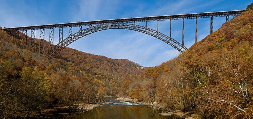
 New River Gorge Bridge, West Virginia
Source: https://commons.wikimedia.org/wiki/File:New_River_Gorge_Bridge.jpg
Author: JaGa

Cities in West Virginia
- Beckley (17,000)
City in Raleigh County. - Bluefield (12,000)
City in Mercer County. - Charleston (54,000)
Capital and largest city in West Virginia. - Huntington (49,000)
Second largest city in West Virginia. - Morgantown (30,000)
City in Monongalia County, largest city in north-central West Virginia. - Parkersburg (32,00)
City at the confluence of the Ohio and the Little Kanawha, the third largest city in West Virginia. - Wheeling (31,000)
City in northern West Virginia.
Places of Interest in West Virginia
- Blackwater Falls State Park
- Charles Town
- Harpers Ferry
- Monongahela National Forest
- New River Gorge National River
 Latest updates on Penang Travel Tips

Copyright © 2003-2025 Timothy Tye. All Rights Reserved.

 Go Back