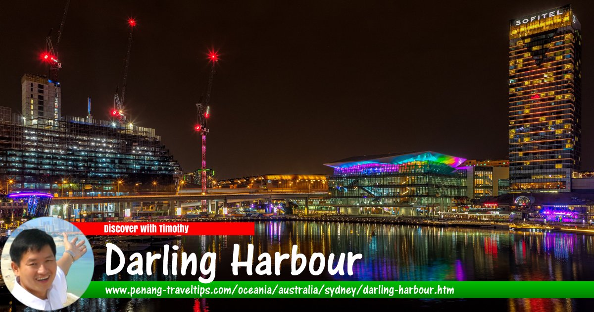
 Darling Harbour, Sydney
Darling Harbour (GPS: -33.87487, 151.20089) is the pier by the sea that is now used as a recreational area in Sydney. It was named after Lieutenant-General Ralph Darling, the Governor of New South Wales from 1825 to 1831. It was originally part of the commercial port of Sydney. During the Great Depression, the eastern part of Darling Harbour became known as The Hungry Mile, because of the many waterside workers searching for jobs along the wharves. It had become derelict by the mid-to-late 1980s, but through the initiative of then New South Wales Minister for Public Works, Laurie Brereton, it was redeveloped as a pedestrian and tourist precinct.
Darling Harbour affords a good view of the Sydney Central Business District. It is situated on the western edge of the city centre, extending northwards from Chinatown along both sides of Cockle Bay to King Street Wharf.
Located within Darling Harbour is Pyrmont Bridge, now used for pedestrians only. Also there is the Sydney Convention and Exhibition Centre, a key venue for the APEC Australia 2007 meeting in September.
Getting there
Buses to take: 443, 888, Sydney ExplorerNearest CityRail Station: Town Hall
Nearest Monorail Station: Harbourside
Darling Harbour is  on the Map of Sydney, Australia
Back to Discover Sydney
 Latest updates on Penang Travel Tips

Copyright © 2003-2025 Timothy Tye. All Rights Reserved.

 Go Back