
Batu Tiga, Shah Alam
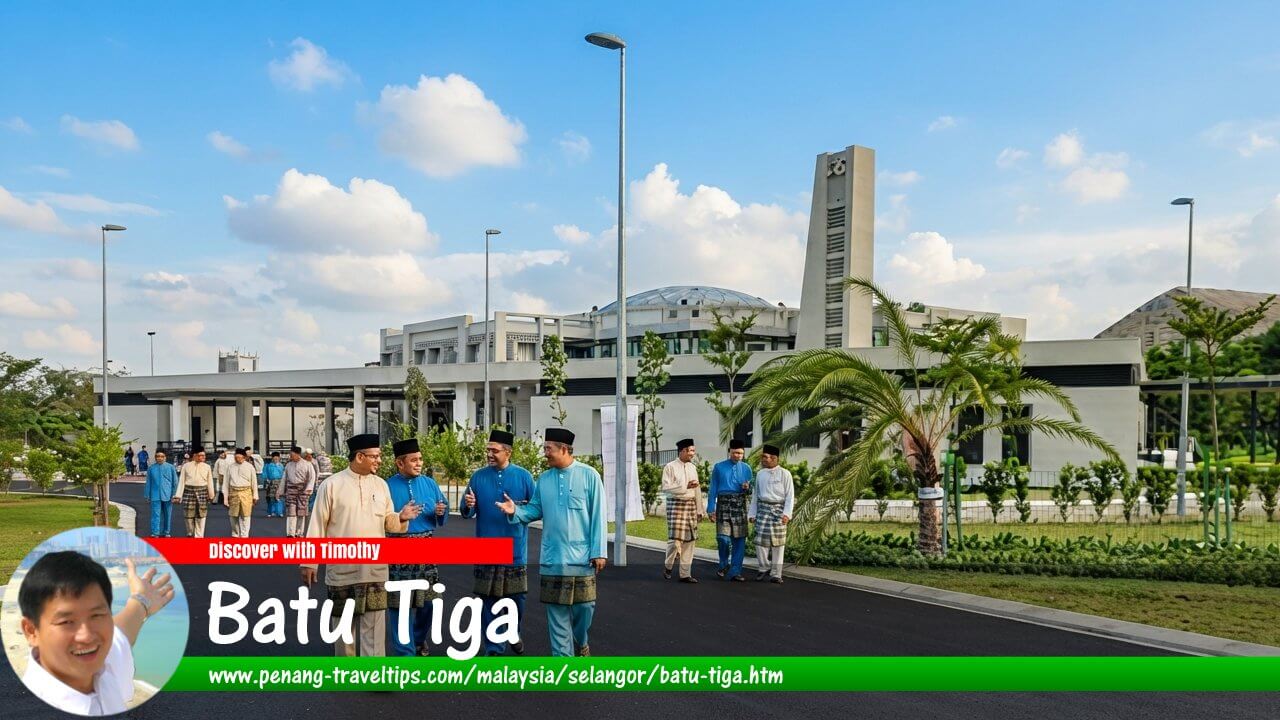 Batu Tiga Travel Guide (AI generated on 26 September 2026 based on a mosque in Batu Tiga)
Also available: Panduan Melawat Batu Tiga
Batu Tiga is one of the oldest localities associated with Shah Alam, Selangor. Located along the historic Kuala Lumpur–Klang corridor, the area developed before the creation of Shah Alam and played an important role in the transformation of the Klang Valley from a plantation-based economy into a modern industrial region.
Today, Batu Tiga is recognised as a strategic urban locality within Shah Alam, known for its industrial areas, transportation connections and proximity to major economic centres. Although it does not have the identity of a newer master-planned township, its historical significance lies in its position as a bridge between the older settlements of Petaling Jaya and Klang and the planned city of Shah Alam.
The development of Batu Tiga reflects a broader story of Malaysian urbanisation: the gradual conversion of former agricultural land into industrial estates, transport corridors and residential communities as the Klang Valley expanded.
Quick Facts
- Location: Shah Alam, Selangor
- District: Petaling District
- City: Shah Alam
- Type: Historic locality, industrial and residential area
- Distance from downtown Kuala Lumpur (Dataran Merdeka): Approximately 20 km west
- Rail connection: Batu Tiga KTM Komuter Station
- Main roads: Federal Highway and surrounding industrial roads
- Nearby areas: Subang Jaya, Glenmarie, Shah Alam, Klang
History of Batu Tiga
Origins as a Plantation Area
Before becoming an urban locality, the Batu Tiga area was part of the plantation landscape that characterised much of Selangor during the colonial era. Rubber plantations dominated the economy of the region, supported by the growth of Kuala Lumpur as a commercial centre and Klang as a major port.
The location of Batu Tiga was significant because it sat along the important route connecting Kuala Lumpur with Klang. This corridor gradually became one of the most important development axes in Selangor, linking the administrative centre of the state with its maritime gateway.
The name "Batu Tiga" itself is believed to refer to a historical milestone location along the road between Kuala Lumpur and Klang. Like many older place names in Malaysia, it reflects the area's origins as a transport stop before the arrival of modern urban development.
Development Along the Kuala Lumpur–Klang Corridor
The growth of Batu Tiga accelerated as the Klang Valley became increasingly industrialised after independence. The area benefited from its strategic location between Kuala Lumpur and Klang, making it attractive for factories, warehouses and logistics activities.
The construction and expansion of the Federal Highway further strengthened Batu Tiga's importance. Completed in stages from the 1960s onwards, the highway became one of Malaysia's most important transport routes, connecting the eastern and western parts of the Klang Valley.
This accessibility encouraged industrial development not only in Batu Tiga but also in surrounding areas such as Shah Alam, Glenmarie and Subang Jaya.
Relationship with Shah Alam
When Shah Alam was planned in the 1960s, Batu Tiga already existed as an established locality. Rather than being created as part of the original Shah Alam master plan, it became incorporated into the wider urban area as Shah Alam expanded.
This makes Batu Tiga different from many Shah Alam neighbourhoods. While areas such as Seksyen 7 or Seksyen 13 were planned as part of the new state capital, Batu Tiga represents an older layer of development that existed before the city's creation.
The coexistence of older localities such as Batu Tiga with newer planned areas illustrates how Shah Alam grew by absorbing and integrating existing settlements alongside newly developed precincts.
Location and Accessibility
Batu Tiga occupies a strategic location in the eastern part of Shah Alam, close to the boundary between Shah Alam, Subang Jaya and Petaling Jaya. Its position gives it excellent access to major employment centres throughout the Klang Valley.
The locality is connected by several important roads and highways:
- Federal Highway: The main east-west corridor connecting Kuala Lumpur, Petaling Jaya, Shah Alam and Klang.
- North–Klang Valley Expressway (NKVE): Providing access towards northern Selangor and Kuala Lumpur.
- Glenmarie and Subang Jaya road networks: Connecting Batu Tiga with nearby commercial and residential areas.
The accessibility of Batu Tiga remains one of its strongest advantages, particularly for businesses requiring convenient connections across the Klang Valley.
Economy and Industry
Industrial activity has long been central to Batu Tiga's identity. Its location along major transport routes made it suitable for manufacturing, warehousing and logistics operations.
The surrounding industrial areas contributed significantly to Shah Alam's development as one of Selangor's major manufacturing centres. Companies operating in the area benefit from proximity to highways, a large workforce and access to both Kuala Lumpur and Port Klang.
Over time, the economic character of Batu Tiga has diversified. While industrial activities remain important, nearby commercial developments and residential areas have created a more balanced urban environment.
Transportation
Batu Tiga KTM Komuter Station
The Batu Tiga KTM Komuter Station is one of the locality's most important transport assets. Located along the KTM Komuter network, the station provides rail connectivity between Batu Tiga, Shah Alam, Petaling Jaya, Kuala Lumpur and other parts of the Klang Valley.
The presence of a railway station reflects Batu Tiga's historical importance as a transport location. Long before the development of modern highways, railway connections played an important role in linking settlements and economic centres across Selangor.
Residential Development
Although Batu Tiga is better known for its industrial and transport functions, residential communities have also developed around the area.
Its location between major employment centres makes it attractive to residents who work in Shah Alam, Subang Jaya, Petaling Jaya and Kuala Lumpur. Housing options in and around Batu Tiga range from established neighbourhoods to newer residential developments in surrounding areas.
Batu Tiga Today
Today, Batu Tiga represents the meeting point between old and new Shah Alam. It retains its identity as a historic transport and industrial locality while benefiting from the growth of the surrounding Klang Valley metropolitan area.
Its significance lies not in being a showcase township but in its role as part of the foundation upon which modern Shah Alam was built. The locality demonstrates how older settlements, infrastructure corridors and new planned developments have combined to create the urban landscape of contemporary Selangor.
Overview
Batu Tiga is an important historical locality within Shah Alam that tells the story of Selangor's transformation from plantations into an industrial powerhouse. Its strategic position along the Kuala Lumpur–Klang corridor allowed it to become an important transport and economic node.
While newer Shah Alam townships represent the future of planned urban development, Batu Tiga represents the earlier stage of growth that made that development possible. Together, these different layers of history contribute to the diverse character of Shah Alam today.
Batu Tiga is  on the Map of Towns in Selangor
References
- Shah Alam City Council (MBSA) – Information on Shah Alam's development and administration.
- Keretapi Tanah Melayu Berhad (KTMB) – Information on KTM Komuter services and stations.
- Selangor State Government – Historical and development information on Selangor.
- Relevant historical references on the Kuala Lumpur–Klang corridor and Federal Highway development.
Page Details
This page was created on 17 July 2026. Hi, my name is Timothy and created it from my research, for my own entertainment, knowledge and to satisfy my curiosity. I am providing the information to you in good faith and hope it is useful. I try to get the details as accurate as possible. I also try to update the page whenever I stumble on new details. So this and all my other pages are perpetual work in progress. If you discover any error, please politely inform me, pointing out where the error lies, and I will correct it as soon as possible. Your helpfulness will keep this page accurate, relevant and helpful to those who need the information.Living in Selangor
 Latest Pages & Updates
Buy Me A Coffee
If you enjoy the information I provide and want to support the work I do, please buy me a coffee! I appreciate it immensely, thank you so much!
