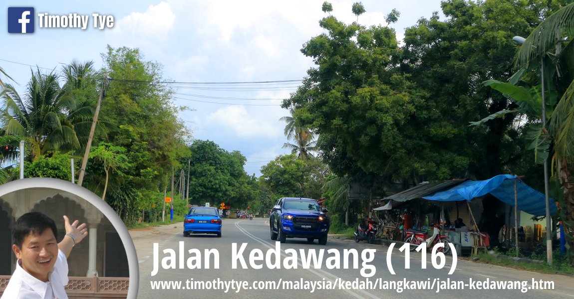
 Jalan Kedawang, Langkawi (9 September, 2018)
Jalan Kedawang, defined as Federal Route 116, is one of the main roads in Langkawi. It is not a particularly long road. It starts from the boundaries of the Langkawi International Airport, and ends at the junction with Jalan Temoyong and Jalan Chandekura, which together form Federal Route 116.
Jalan Kedawang is located within the mukim of Kedawang in the southern part of Langkawi. It passes through the village of Kampung Kedawang.
Map of Jalan Kedawang, Langkawi
- Masjid Al Ihsaan (GPS: 6.29889, 99.73807)

- Masjid Al Rahman (GPS: 6.31926, 99.73638)

- Petronas Kedawang (GPS: 6.31887, 99.73722)

Sights along Jalan Kedawang
There are at least two large mosques along Jalan Kedawang. The first that we passed by was Masjid Al Ihsaan (GPS: 6.29889, 99.73807) . This mosque the mosque for Kampung Temonyong. It has a double-tier hip roof topped with a cup-shaped dome with crimson lining, with a spire. The mosque has a large, spacious porch which is also topped with a cup shaped dome. The minaret is rusticated with red linings, and is likewise topped with a cup-shaped dome.
To one side of the present mosque building is the older mosque structure. It has a folded dome reminiscent of Masjid Negara in Kuala Lumpur. Today it houses Pusat NCDP Malaysia.
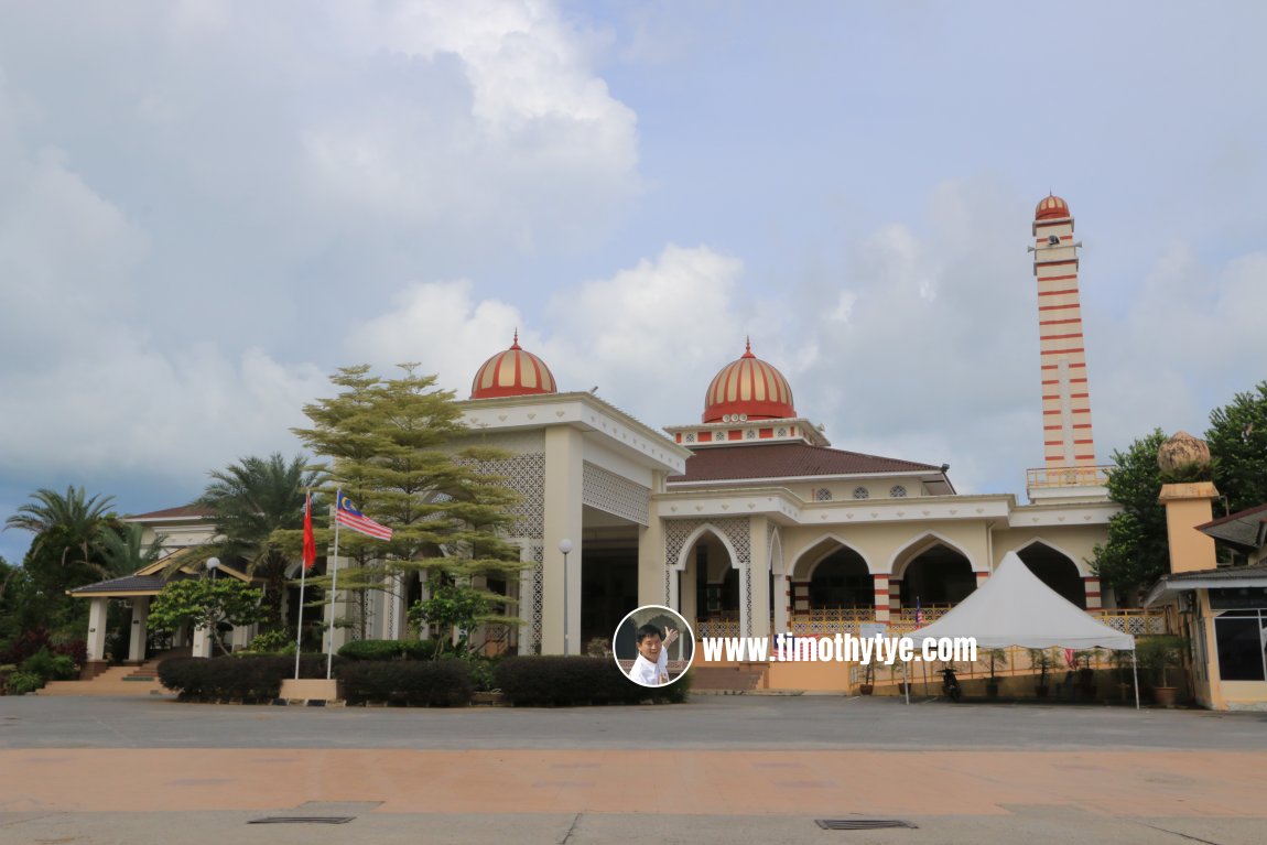 Masjid Al Ihsaan, Langkawi (9 September, 2018)
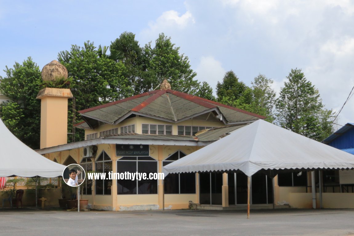 Masjid Al Ihsaan, Langkawi (9 September, 2018)
Further down the road is another mosque. It is Masjid Al Rahman (GPS: 6.31926, 99.73638)
 It is the mosque for Kampung Belak. The mosque has a single-storey prayer hall topped with a gilded cup-shaped dome. Its porch is also topped with a dome. The older mosque building stands to the left of the present building.
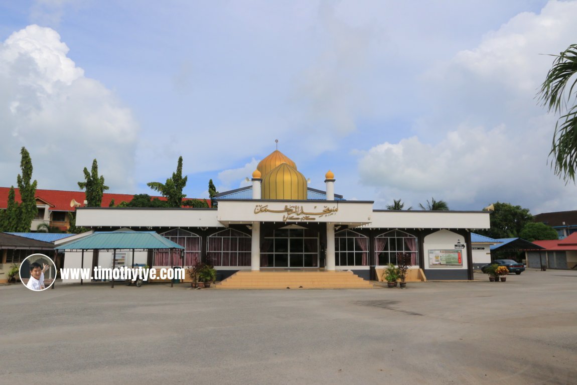 Masjid Al Rahman, Langkawi (9 September, 2018)
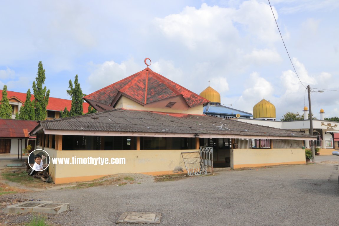 The old mosque building for Masjid Al Rahman (9 September, 2018)
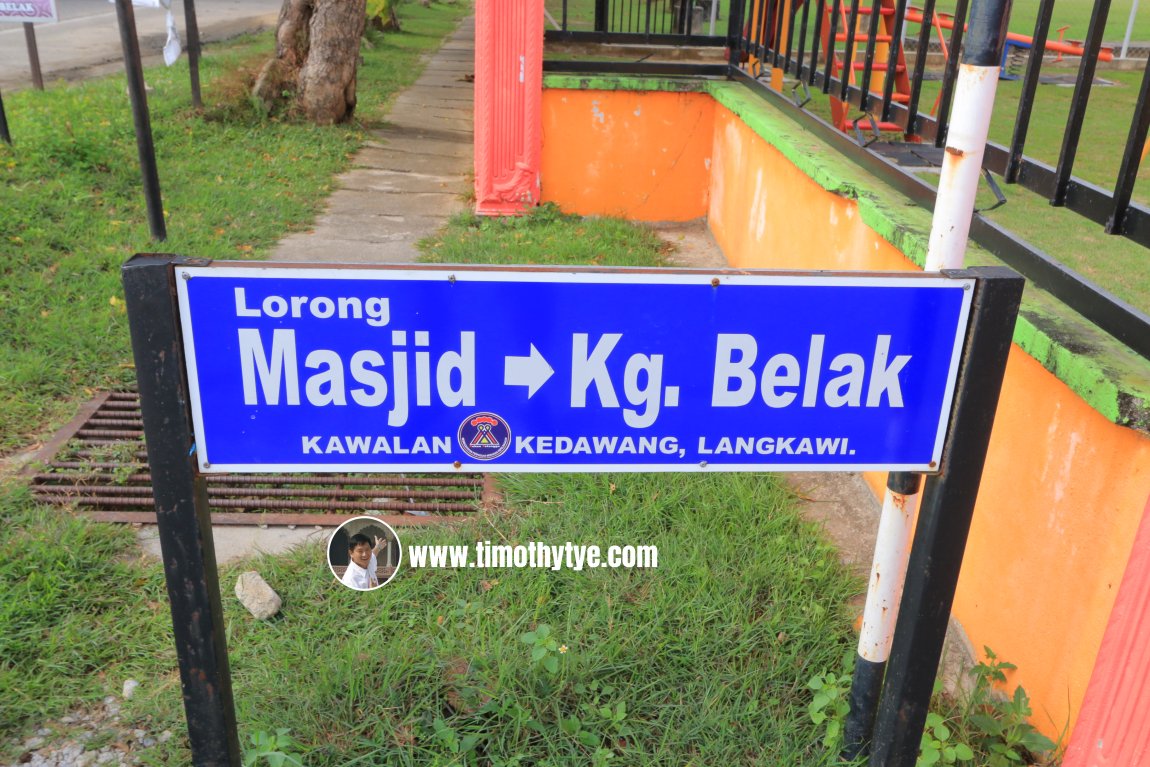 Beside the mosque is a lane known as Lorong Masjid. It leads to Kampung Belak. (9 September, 2018)
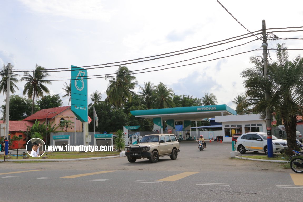 Across the road from the mosque is the Kedawang Petronas Gas Station (9 September, 2018)
Scenes along Jalan Kedawang
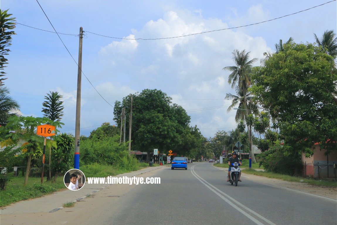 Jalan Kedawang is also known as Route 116 (9 September, 2018)
Jalan Kedawang, Langkawi, on Google Street View
Jalan Kedawang (Nov 2017)Back to Discover Langkawi mainpage; list of Streets in Langkawi, Streets in Kedah and Streets in Malaysia
 Latest updates on Penang Travel Tips

Copyright © 2003-2025 Timothy Tye. All Rights Reserved.

 Go Back