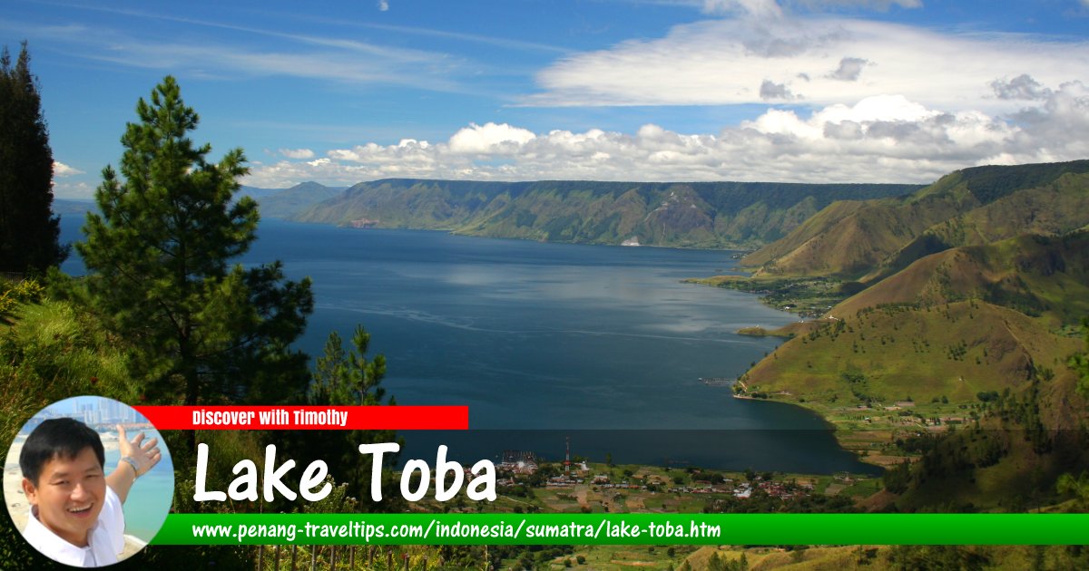
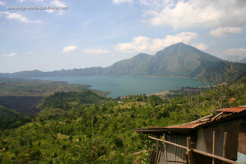
 View of Gunung Abang and Danau Batur, Bali's largest lake, from Kintamani (19 June, 2004)
The Kintamani Highlands is where visitors to Bali get to appreciate the scenic views of the Mount Batur volcano as well as Danau Batur, a crater lake created by a massive prehistoric eruption. The present Mount Batur is much reduced from its former size. Nevertheless it still towers 1717m (5635ft) above sea level. Naturally it doesn't appear very tall from where we are standing, because we are already 1450m (4800ft) high, at Penelokan.
Batur's last eruption was as recent as 2000, but it was nothing compared to the eruption of 1917, when Batur destroyed 65,000 homes and 2,500 temples, and claimed over a thousand lives. Lava engulfed the village of Batur, but miraculously it stopped at the foot of the village temple. The villagers regarded that to be a good since, until 1926, when Batur erupted again, this time burying the entire temple except for the highest shrine.
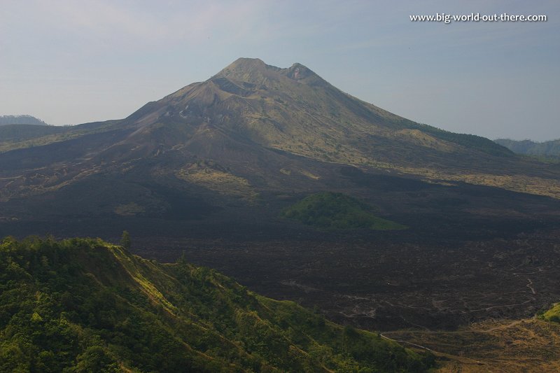 View of Gunung Batur, with signs of a recent eruption, from Kintamani (19 June, 2004)
When the villagers resettled on a higher ground, they brought with them the surviving shrine and began rebuilding Pura Ulun Danu Batur, the second-most important temple after Besakih.
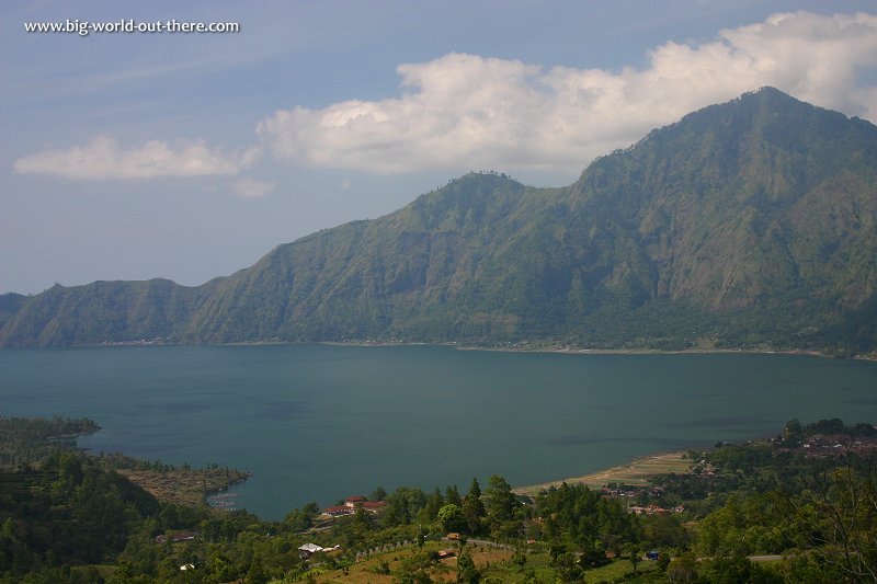 The picturesque Danau Batur as seen from Kintamani (19 June, 2004)
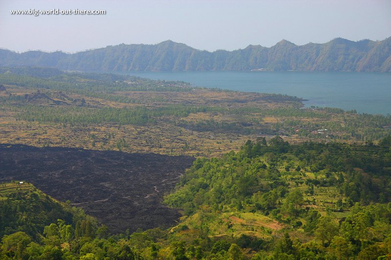 Signs of recent eruption denuded the land around Gunung Batur. (19 June, 2004)
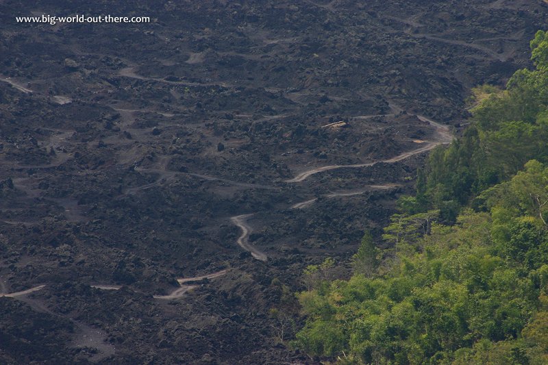 Black lava soil around Gunung Batur. (19 June, 2004)
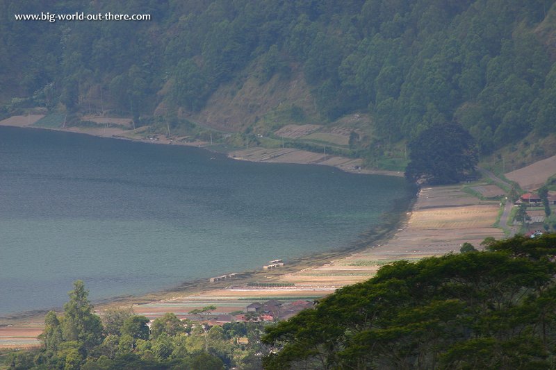 Shores of Danau Batur. (19 June, 2004)
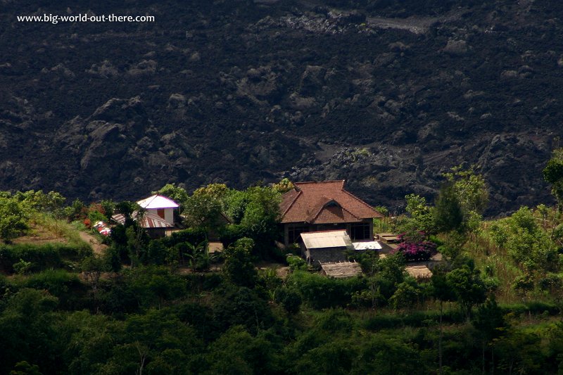 View of houses lying close to the lava fields. (19 June, 2004)
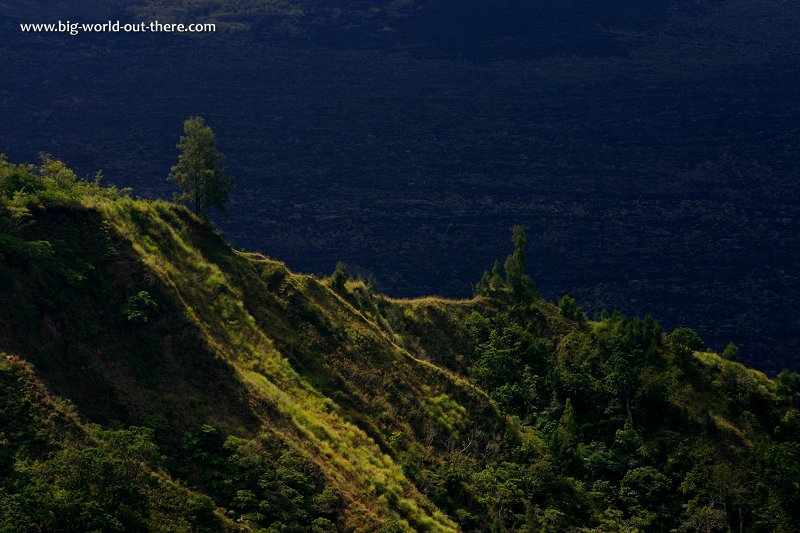 A hill ridge with Gunung Batur lava field in the background. (19 June, 2004)
 Latest updates on Penang Travel Tips
 Destination Indonesia

Copyright © 2003-2025 Timothy Tye. All Rights Reserved.

 Go Back