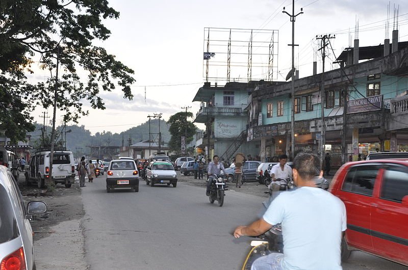
 Itanagar, capital of Arunachal Pradesh, India
Source: https://commons.wikimedia.org/wiki/File:ITANAGAR.jpg
Author: MUKESH JAIN

Author: MUKESH JAIN

Itanagar (Hindi: ईटानगर) is the capital of the state of Arunachal Pradesh, wedged on the northeastern corner of India. Located in the hills at an elevation of 440 m (1,440 ft), it has a population of around 35,000 people (2012 estimate).
Itanagar experiences an oceanic climate. Temperature is fairly constant throughout the year, though August is the warmest month (average high 24°C/75°F) while January and February the coldest (average low 8°C/46°F).
There are a number of festivals held in Itanagar. The Monpas celebrate their New Year. The celebration is called Losar, and it is held over five days. During this period, you can see prayer flags on top of homes. In the evening they light butter lamps. Meanwhile, the Idu Mishimis people celebrate Reh, a six-day festival whose highlight is the priest dance. Other tribes also have their own festival. The Digaru Mishimis celebrate Tamladu. A form of water festival, similar to Thailand and Myanmar is also celebrated here. Called Sangken, it involves the sprinkling of water and is an opportunity for merriment.
Planning your trip to Itanagar
The nearest airport to Itanagar is located in Lilabari, in neighbouring Assam, 67 km away. It gets flights from Guwahati. There is a bus service from Guwahati to Itanagar.Places of Interest in Itanagar
- Ganga Lake
- Indira Gandhi Park
- Ita Fort
- Jawaharlal Nehru Museum
 Latest updates on Penang Travel Tips
 Map of Roads in Penang
Looking for information on Penang? Use this Map of Roads in Penang to zoom in on information about Penang, brought to you road by road.
Copyright © 2003-2025 Timothy Tye. All Rights Reserved.

 Go Back