Oxfordshire is one of the counties of South East England. It is often abbreviated Oxon. The county borders Warwickshire, Northamptonshire, Buckinghamshire, Berkshire, Wiltshire, Gloucestershire and Warwickshire.
The county of Oxfordshire dates to the early 10th century as the land located north of the River Thames, with the Cotswolds to the west, the Chilterns to the east and the Midlands to the north. The highest point in the county is White Horse Hill, standing at a height of 261 meters (856 ft).
Towns in Oxfordshire
Districts in Oxfordshire
- Cherwell
- South Oxfordshire
- Vale of White Horse
- West Oxfordshire
Sights in Oxfordshire
- Blenheim Palace
- Oxfordshire Cotswolds
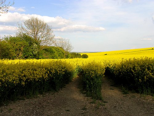
 Rapeseed farm, East Hendred, Oxfordshire
Source: https://commons.wikimedia.org/wiki/File:Rapeseed_Farmland_East_Hendred_-_geograph.org.uk_-_10251.jpg
Author: Pam Brophy

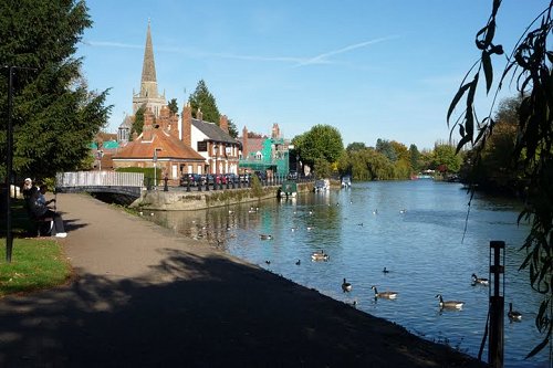
 The Thames at Abingdon
Source: https://commons.wikimedia.org/wiki/File:Thames_in_Abingdon.JPG
Author: Krzysztof.Redzko

Map of Ceremonial Counties of England
 Latest updates on Penang Travel Tips

Copyright © 2003-2025 Timothy Tye. All Rights Reserved.

 Go Back