Matthew Parker Street, London
Between the historic corridors of Westminster Abbey and the political heart of Whitehall lies Matthew Parker Street — a short yet significant road steeped in ecclesiastical and governmental heritage.
Where is Matthew Parker Street?
Matthew Parker Street is located in the City of Westminster, in central London. It runs between Storey's Gate to the south and Tothill Street to the north, placing it just a short walk from Westminster Abbey and Parliament Square.This quiet yet centrally placed street is nestled in an area of immense historical and political significance, mere moments from the corridors of power in Whitehall.
Street Length and Layout
Matthew Parker Street is a relatively short road, measuring approximately 150 metres (or about 500 feet) in length. Though modest in size, it connects two important Westminster roads and provides an access route for office buildings and service deliveries in this part of London.History and Construction
Matthew Parker Street emerged during the 19th century as part of the urban redevelopment of Westminster. This area was historically part of the Westminster Abbey precincts, and much of the surrounding land was once under ecclesiastical control. As the area evolved, roads were restructured and renamed to reflect notable figures in the Church of England and the British state.Map of Matthew Parker Street, London
How Did It Get Its Name?
The street is named after Matthew Parker (1504–1575), who served as the Archbishop of Canterbury under Queen Elizabeth I. A prominent Protestant reformer, Parker was instrumental in shaping the early Church of England during the Elizabethan era.It is believed the street was named in his honour in the late 19th or early 20th century, as a tribute to his religious legacy and historical importance to the Anglican Church.
Connecting Roads
Matthew Parker Street directly connects:- Storey's Gate – leading toward Westminster Abbey and Victoria Street
- Tothill Street – a main road heading east toward Parliament Street and west toward Victoria
Major Buildings and Attractions
Despite its short length, Matthew Parker Street is home to several significant buildings and is close to key London landmarks:- Methodist Central Hall Westminster – accessible via Storey's Gate, this historic venue has hosted major political and religious events.
- One Matthew Parker Street – a modern commercial office development located mid-street.
- Church House Conference Centre – located just around the corner, closely associated with the Church of England's administrative offices.
Character of the Street
Matthew Parker Street is primarily a commercial street, with modern office buildings, service entrances, and institutional buildings making up most of the frontage. Its quiet and well-kept character provides a contrast to the busier surrounding thoroughfares.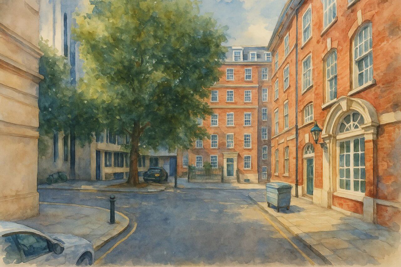
Painting of Matthew Parker Street, London
Nearest Underground Stations
The closest London Underground stations are:- St. James's Park (District & Circle lines) – approximately 3 minutes' walk
- Westminster (Jubilee, District & Circle lines) – about 6 minutes' walk
Fun Fact
Though often overlooked, Matthew Parker Street sits almost directly behind the famous location of the first United Nations General Assembly in 1946, held at Methodist Central Hall. This gives the street a subtle but meaningful link to international history.Quick Facts
Street Name: Matthew Parker Street
Location: City of Westminster, Central London
Connects: Storey's Gate and Tothill Street
Length: Approx. 150 metres (500 feet)
Named After: Archbishop Matthew Parker (1504–1575)
Character: Commercial
Nearby Landmarks: Westminster Abbey, Methodist Central Hall, Church House
Nearest Tube Stations: St. James's Park (District & Circle), Westminster (Jubilee, District & Circle)
Fun Fact: Close to the site of the first United Nations General Assembly in 1946
Page Details
This page was created on 29 April 2025. Hi, my name is Timothy and created it from my research, for my own entertainment, knowledge and to satisfy my curiosity. I am providing the information to you in good faith and hope it is useful. I try to get the details as accurate as possible. I also try to update the page whenever I stumble on new details. So this and all my other pages are perpetual work in progress. If you discover any error, please politely inform me, pointing out where the error lies, and I will correct it as soon as possible. Your helpfulness will keep this page accurate, relevant and helpful to those who need the information.Moving to London?
New to London and need a place to live? Read our Renting A Flat Guide. This guide covers everything you need to know about renting a flat in London, from viewing to signing.Streets of London
Come, let's explore and discover the streets of London together! Listed here afre the Streets of London that I have documented. Dive in and discover!Map of Streets in London
View all the streets that I have documented on Google Maps in this Map of Streets in London.Want to share your London travel experiences or get tips from fellow travellers?
Join the London Travel Tips Facebook GroupMore information for visiting London
Here are some related articles to help you get to know London better.- Cost of Living in London: Discover the true cost of living in London, including housing, transport, groceries, and more - plus tips for budgeting in one of the world's most expensive cities.
- Driving in London: Planning to drive in London? Learn about roads, car rentals, parking, tolls, and key tips for tourists and visitors from outside the capital.
- Driving Tips for Visiting London: Thinking of driving to London? Discover the best times to travel, congestion tips, parking apps, breakdown help, and petrol advice for a smoother journey.
- Evolution of London's Streets: Discover the fascinating history of how London's streets developed from ancient footpaths to today's complex network of roads across the capital.
- History of Immigration to London: Discover the rich history of immigration to London, from Huguenots to Bangladeshis, and how diverse communities have shaped the city's vibrant identity.
- How Big Is London Compared to Other World Cities?
- How London's Streets Measure Up: A Global Comparison of Road Widths
- How Streets of London are Named: Discover how London streets get their names, who decides them, and how historic, political, and public influences shape street naming in the capital.
- How the Grosvenor Family Came to Own Much of Mayfair, Belgravia and Pimlico: Explore how the Grosvenor family came to own much of Mayfair, Belgravia, and Pimlico, and learn about their historical connection (or lack thereof) with the British royal family and government.
- Living and working in London
- London's Quiet Collapse: How Living Standards Fell as Costs Skyrockted (1975-2025): Explore how London residents endured rising costs and falling living standards from 1975 to 2025 - from rocketing rents to wage stagnation and inflation.
- Marvel of the London Underground: Discover the history, challenges, and triumphs of the London Underground - the world's first underground railway and a vital transport lifeline for the UK capital since 1863.
- Moving to London: Expat Tips for Settling in Westminster: Essential advice for expats moving to London's Westminster: neighborhood insights, cost of living, transportation, housing, healthcare, schools, and tips to help you feel at home in the heart of the city.
- Places in London that aren't pronounced the way they're spelled
- Shopping in London: Discover London's diverse shopping scene
- Taking the bus in London: This is your complete guide to taking the bus when in London.
- The Anglican Faith: A Visitor's Guide to the Church of England: Learn about the Anglican faith and its deep ties to London's landmarks like Westminster Abbey and St Paul's Cathedral.
- Top 10 London Streets Every Visitor Must See: Discover London through its most iconic thoroughfares - 10 streets every visitor must experience. From historic Abbey Road to vibrant Camden High Street, explore culture, shopping, and hidden gems.
- Why are most roads in Central London so narrow? Learn why there are so few multi-lane roads and elevated highways in the heart of the city.

