Grosvenor Canal, London
Where Is Grosvenor Canal?
Grosvenor Canal (GPS: 51.48637, -0.14918) is located in Pimlico, in the City of Westminster, southwest London. The site lies just north of the River Thames, and today forms part of the Grosvenor Waterside residential development. It's situated roughly 1.7 miles (2.7 km) southwest of Charing Cross, London’s traditional central point.
The canal is tucked between Chelsea Bridge and Battersea Bridge, with nearby landmarks including the Royal Hospital Chelsea and the Chelsea Barracks site.
What Was Here Before the Canal?
Before the construction of the canal in the 1820s, the area was predominantly marshland. The riverside land here was low-lying and undeveloped, used primarily for pasture and market gardening. It was prone to flooding and largely unsuitable for residential or commercial development.
The nearest settlement of note was the village of Chelsea to the west, and the district of Westminster to the northeast. The area remained relatively isolated until canal construction began.
The Birth of Grosvenor Canal
Constructed in the early 1820s, Grosvenor Canal was an offshoot of the River Thames, developed by the Grosvenor family estate. The canal was initially built as part of a plan to improve transport and logistics to the growing West End, particularly for bringing in coal, building materials, and refuse transport.
It extended from the River Thames at Pimlico northwards to what is now the Victoria Coach Station area. At its peak, the canal was about 1,200 metres long and was used by narrowboats and barges transporting goods into Westminster.
How the Canal Was Used
The Grosvenor Canal served both industrial and municipal purposes. It was an important artery for moving building supplies and coal into central London. Later in the 19th century, it became part of the city's refuse system, with barges transporting waste down to the Thames.
It also supported smaller wharves and depots, many of which serviced nearby power stations and industrial sites, including what would later become Victoria Station and Battersea Power Station areas.
Decline and Disuse
With the rise of railways and motorised road transport, Grosvenor Canal began to fall into disuse during the early 20th century. Its utility waned as industry moved elsewhere and freight shifted to other methods of transportation.
By the 1960s, most of the canal was no longer in active use. The northern parts were progressively filled in and redeveloped, and by the 1990s, the remaining basin near the Thames was all that survived.
Redevelopment: Grosvenor Waterside
In the early 2000s, the site was transformed into Grosvenor Waterside, a luxury residential development that preserved the last section of the historic canal basin. The redevelopment project began in 2003 and completed its main phases by 2012.
Today, the area is a mix of high-end flats, landscaped gardens, art installations, and cafes, attracting residents and visitors alike. While most of the canal no longer exists, the remaining water feature serves as a central part of the estate’s design.
Can You Visit Grosvenor Canal?
Yes, public access is available. You can stroll along the remaining canal basin at Grosvenor Waterside, which includes pedestrian paths, benches, and modern public art. Although boating is no longer a feature, the area is scenic and peaceful, with interpretive signs giving insight into its past.
How to Get There
Nearest Underground Station: The closest tube station is Sloane Square on the District and Circle lines, about a 10-minute walk away.
Bus Routes: Bus 44, 170, and 452 all stop nearby, with routes passing along Chelsea Bridge Road and Ebury Bridge Road.
Fun Fact
A small lock near the canal's mouth remains in place and is a protected structure. It's one of the last surviving canal locks in Westminster and a rare reminder of London's once-thriving canal network within the central city.
Quick Facts
- Location: Pimlico, City of Westminster, London
- Distance from Charing Cross: 1.7 miles (2.7 km)
- Constructed: 1820s
- Original Route: From River Thames to near present-day Victoria Coach Station
- Original Use: Transport of coal, materials, and refuse
- Disuse: Began in early 20th century
- Redeveloped: Early 2000s as Grosvenor Waterside
- Public Access: Yes, pedestrian paths and viewing areas
- Nearest Tube Station: Sloane Square
- Nearest Bus Routes: 44, 170, 452
- Fun Fact: Contains one of Westminster's last surviving canal locks
Grosvenor Canal is  on the Map of Pimlico, London
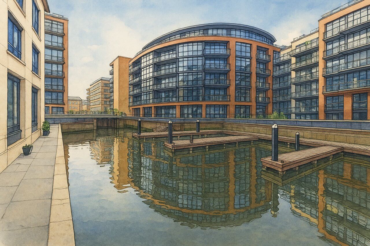
Painting of Grosvenor Canal, London (View image in full size)
Page Details
This page was created on 8 May 2025. Hi, my name is Timothy and created it from my research, for my own entertainment, knowledge and to satisfy my curiosity. I am providing the information to you in good faith and hope it is useful. I try to get the details as accurate as possible. I also try to update the page whenever I stumble on new details. So this and all my other pages are perpetual work in progress. If you discover any error, please politely inform me, pointing out where the error lies, and I will correct it as soon as possible. Your helpfulness will keep this page accurate, relevant and helpful to those who need the information.Canals of London mainpage
Want to share your London travel experiences or get tips from fellow travellers?
Join the London Travel Tips Facebook GroupMore information for visiting London
Here are some related articles to help you get to know London better.- Cost of Living in London: Discover the true cost of living in London, including housing, transport, groceries, and more - plus tips for budgeting in one of the world's most expensive cities.
- Driving in London: Planning to drive in London? Learn about roads, car rentals, parking, tolls, and key tips for tourists and visitors from outside the capital.
- Driving Tips for Visiting London: Thinking of driving to London? Discover the best times to travel, congestion tips, parking apps, breakdown help, and petrol advice for a smoother journey.
- Evolution of London's Streets: Discover the fascinating history of how London's streets developed from ancient footpaths to today's complex network of roads across the capital.
- History of Immigration to London: Discover the rich history of immigration to London, from Huguenots to Bangladeshis, and how diverse communities have shaped the city's vibrant identity.
- How Big Is London Compared to Other World Cities?
- How London's Streets Measure Up: A Global Comparison of Road Widths
- How Streets of London are Named: Discover how London streets get their names, who decides them, and how historic, political, and public influences shape street naming in the capital.
- How the Grosvenor Family Came to Own Much of Mayfair, Belgravia and Pimlico: Explore how the Grosvenor family came to own much of Mayfair, Belgravia, and Pimlico, and learn about their historical connection (or lack thereof) with the British royal family and government.
- Living and working in London
- London's Quiet Collapse: How Living Standards Fell as Costs Skyrockted (1975-2025): Explore how London residents endured rising costs and falling living standards from 1975 to 2025 - from rocketing rents to wage stagnation and inflation.
- Marvel of the London Underground: Discover the history, challenges, and triumphs of the London Underground - the world's first underground railway and a vital transport lifeline for the UK capital since 1863.
- Moving to London: Expat Tips for Settling in Westminster: Essential advice for expats moving to London's Westminster: neighborhood insights, cost of living, transportation, housing, healthcare, schools, and tips to help you feel at home in the heart of the city.
- Places in London that aren't pronounced the way they're spelled
- Shopping in London: Discover London's diverse shopping scene
- Taking the bus in London: This is your complete guide to taking the bus when in London.
- The Anglican Faith: A Visitor's Guide to the Church of England: Learn about the Anglican faith and its deep ties to London's landmarks like Westminster Abbey and St Paul's Cathedral.
- Top 10 London Streets Every Visitor Must See: Discover London through its most iconic thoroughfares - 10 streets every visitor must experience. From historic Abbey Road to vibrant Camden High Street, explore culture, shopping, and hidden gems.
- Why are most roads in Central London so narrow? Learn why there are so few multi-lane roads and elevated highways in the heart of the city.

