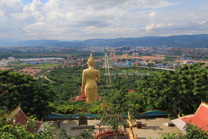
 Jinghong City, Xishuangbanna, as seen from Wat Sipsongpanna (17 August, 2014)
Jinghong City (Chinese: 景洪市
 , Pinyin: Jǐnghóng Shì; Thai: เชียงรุ่ง
  ) is the prefectural capital of Xishuangbanna Dai Autonomous Prefecture. It is a modern, rapidly developing city in southern Yunnan Province, China.
Jinghong is a county-level city. Its city limits covers an area of 7,133 square kilometers, and it has a population of 519,935 people in 20101. Located 558 m (1,831 ft) above sea level, the city is often hot and humid in the wet season, and cool during the dry season.
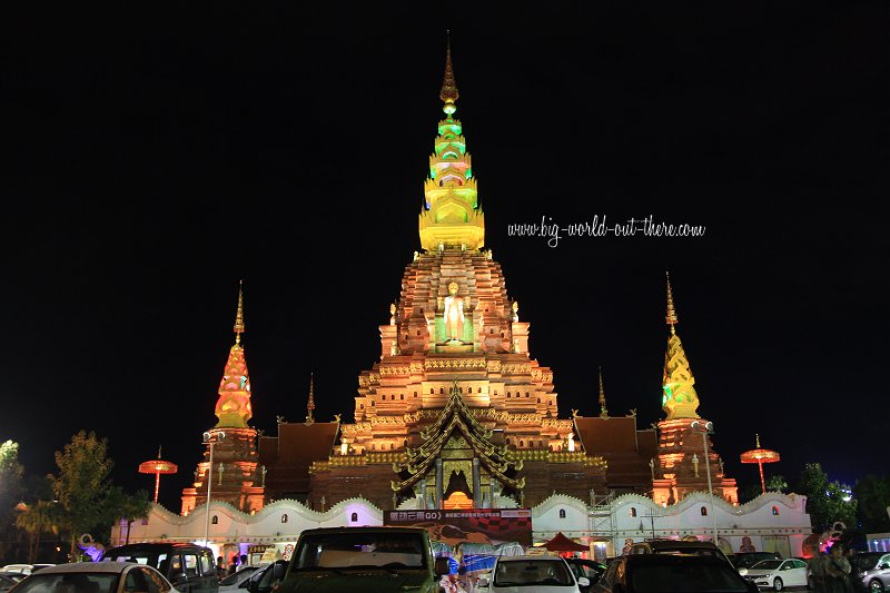
 A Dai-style stupa forms the centrepiece of a new commercial development in Jinghong City (17 August, 2014)
Jinghong was founded in 1180 by the Tai king Phanya Coeng. It was originally known as Cheli. During the Chinese Yuan Dynasty, there existed here the Tai kingdom of Sipsongpanna, the precursor to presently Xishuangbanna. The kingdom had a close relationship with the kingdom of Lanna. In fact, the Lanna capital of Chiang Mai was established by Mangrai, whose maternal grandfather, Rung Kaen Chai, was the ruler of Jinghong.
The Tai kingdom began to pay tribute to the Ming emperor in 1401, following an attack by the Tai ruler on an area north of the Tai kingdom, but the Ming administration prefered responded with diplomacy rather than outright retaliation. Over time, the Tai kingdom was drawn into the Qing empire.
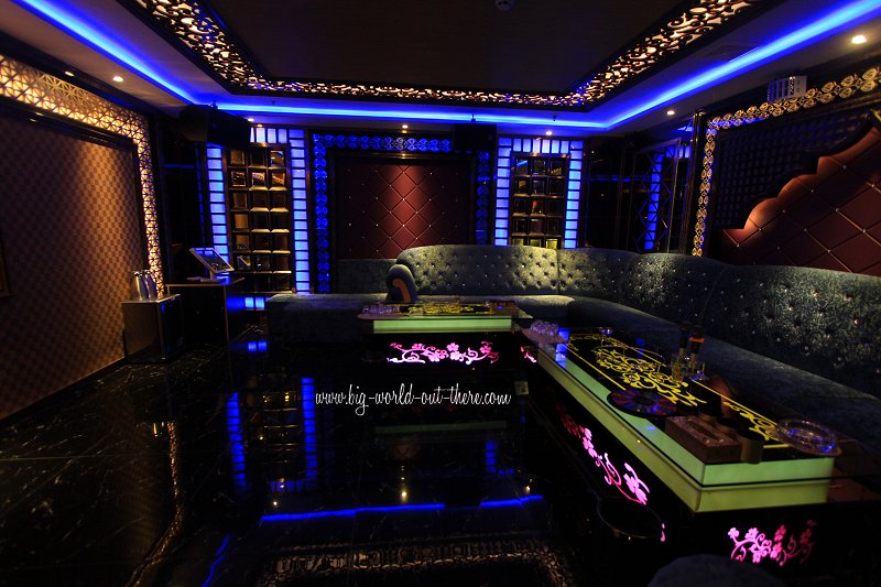
 A karaoke lounge at an upscale hotel in Jinghong City (17 August, 2014)
During the Xinhai Revolution to overthrow the Qing government in 1911, Jinghong was the base for a rebellion against remnant Qing officials. The rebels set up self government until they were ousted by troops of the newly established Republic of China. During this period, many ancient temples were destroyed. They include the Mengle Temple, which has since been restored.
In the past two decades, Jinghong has developed rapidly as the prefectural capital of Xishuangbanna. There are now modern high-rise buildings and department stores in the city. The city is the base for tourists coming to visit Xishuangbanna. Most of the big hotels are found here. As Jinghong is centrally located within Xishuangbanna, it is the most practical base for exploring the prefecture.
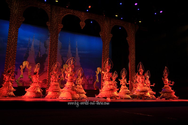
 Modern style cultural performance in Jinghong City (17 August, 2014)
Places of Interest in Xishuangbanna
- Ji'nuo Village
- Mengle Temple
- Wat Sipsongpanna
- Xishuangbanna National Park
- Xishuangbanna Virgin Forest Park
Packaged Tours
Malaysian tourists can contact Beautiful Planet Holiday in Kuala Lumpur (7805 5506) and Penang (226 8121) for tours to Xishuangbanna.Getting there
The Kunming-Bangkok Expressway, completed in 2009, is the impetus for growth of Jinghong City. The Yunnan section of the expressway is 730 km in length. It connects Kunming with Mohan/Boten at the China-Laos border. On the China side, the expressway crosses many bridges and tunnels.The Xishuangbanna Gasa International Airport (西双版纳嘎洒机场) provides flights connecting Jinghong City with major cities in China, as well as with Bangkok and Luang Prabang.
View Jinghong City, Xishuangbanna, Yunnan in a larger map
References
- Wikipedia, Jinghong: https://en.wikipedia.org/wiki/Jinghong
 Latest updates on Penang Travel Tips
 Map of Roads in Penang
Looking for information on Penang? Use this Map of Roads in Penang to zoom in on information about Penang, brought to you road by road.
Copyright © 2003-2025 Timothy Tye. All Rights Reserved.

 Go Back