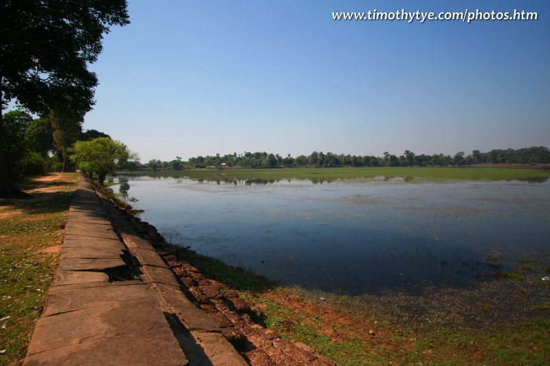
 Srah Srang (24 February, 2006)
Srah Srang (GPS: 13.43098, 103.90658) is a man-made body of water located just east of Banteay Kdei. It was first built in the mid-10th century, and was then remodeled in the late-12th century by King Jayavarman VII, who reigned from AD 1181 to AD 1220. Although it is one of the smallest baray, this reservoir has been there for nine hundred years and is still being used today. Situated to the east of the entrance to Banteay Kdei, Srah Srang offers superb views of sunrise. Originally constructed by Kavindrarimathana, the same architect that built Pre Rup and Prasat Bat Chum, Srah Srang was remodelled by Jayavarman VII during his massive construction boom.
The remains of an ancient temple can be seen in the middle of Srah Srang when the water level is low. This discovery supports the belief that there is a small Mebon-like sanctuary in the middle of Srah Srang.
360° View of Srah Srang on Google Maps Street View
Srah Srang is  in the centre of the Map of Angkor
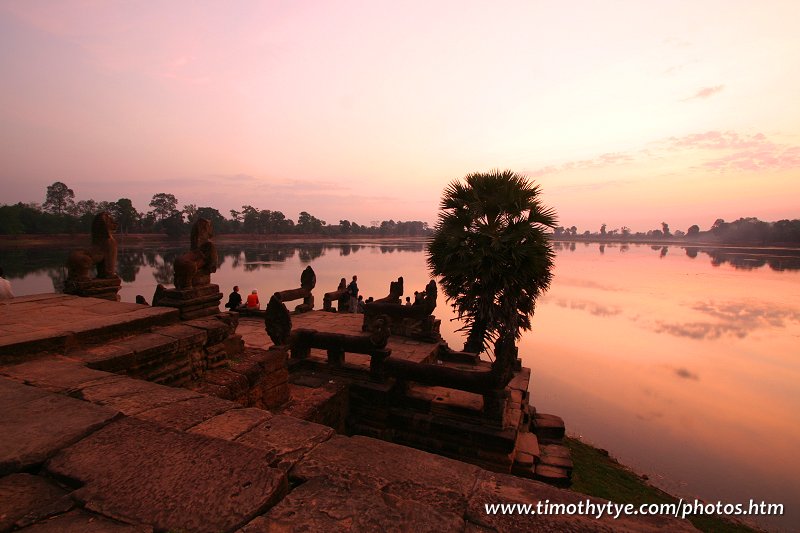
 Srah Srang (25 February, 2006)
The above shot was taken at early morning at Srah Srang. We got there when it was pitch dark, travelling through the quiet streets of Siem Reap when the town was still fast asleep. Our vehicle was the only one creating a twin beam of lights over the country road. As soon as we arrived, I looked for a good vantage point to catch the sunrise. And then we waited.
And waited.
The first ray of sunlight peeked through the blanket of darkness. It lit the distant horizon, making the line of trees at the far end of the reservoir emerge like shadowy figures. Slowly the sky changed from jet black to prussian blue, to cotton cushions in shades of crimson and pink and vermillion. Everybody started snapping away.
To get the perfect picture means I have to wait till the water is absolutely still. So still that you can see the morning sky on its surface. It was one of the most beautiful scenes I have come across at Angkor.
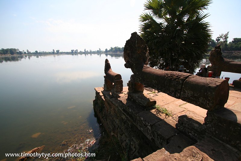
Srah Srang measures 700 meters long by 350 wide. It is not aligned exactly east west but rather slightly southeast by northwest. There is a sandstone terrace on the west bank of Srah Srang with naga balustrades and guardian lions. This is where you should station yourself to catch the sunrise at Angkor.
 Srah Srang, as seen from the ancient Angkorian platform (24 February, 2006)
How to reach Srah Srang
Most tuk tuk driver will be familiar with Srah Srang. If you are on a packaged tour, your tour coach may also stop by here for you to have a look. However, you are likely to see it somewhere in the day time, not the best instance for great photography. If you're travelling independently from Siem Reap, the most straightforward way to reach Srah Srang is to take the road from Siem Reap to Angkor Wat. When you see the moat of Angkor Wat, turn right (not left, turning left takes you to Angkor Thom). After a short distance, you will pass Prasat Kravan on your right. After another distance you will see Banteay Kdei on the left, and Srah Srang on the right. Latest updates on Penang Travel Tips
 Map of Roads in Penang
Looking for information on Penang? Use this Map of Roads in Penang to zoom in on information about Penang, brought to you road by road.
Copyright © 2003-2025 Timothy Tye. All Rights Reserved.

 Go Back