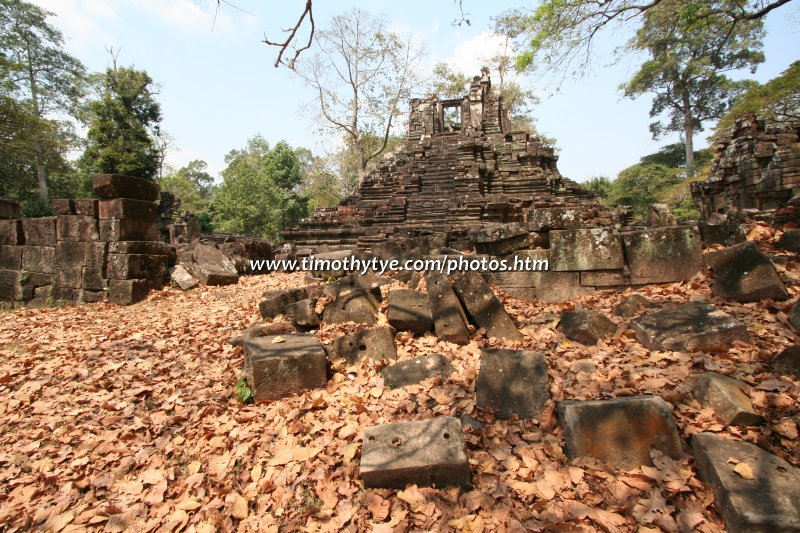
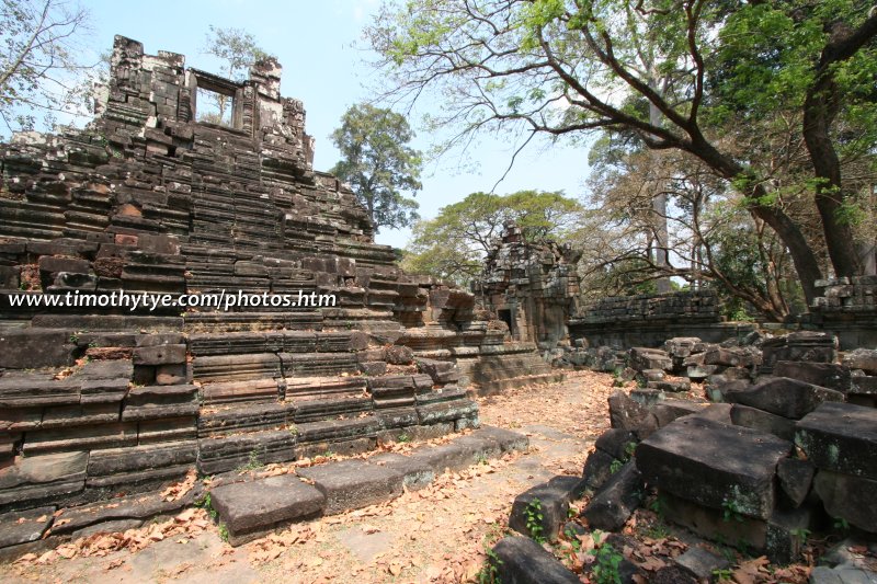
 Preah Pithu (26 February, 2006)
Preah Pithu (GPS: 13.44858, 103.86161) is a generic name for a group of Angkor monuments comprising Temples T, U, V, X and Y. They are located on the right side of the road facing the Terrace of the Elephants and Terrace of the Leper King in Angkor Thom. Preah Pithu comprises not one, but five different ruins that are lumped together, although in all probability, they were not even designed together, but by different people at different times. Construction of Preah Pithu has been determined to have begun in the 13th century, under the reign of King Suryavarman II (AD 1113 to circa AD 1150) and ending during the reign of King Jayavarman VII (AD 1181 to AD 1220).
To differentiate the five ruins, archaeologists call them Temple T, Temple U, Temple V, Temple X and Temple Y. Of these, Temple X is Buddhist while the rest are Hindu. These temples are off the beaten path, and are not usually visited in normal itineraries, but they're worth if you have the time. It is a good place to stopover for a picnic away from the usual crowds.
360° View of Preah Pithu on Google Maps Street View
Preah Pithu is  in the centre of the Map of Angkor
 The cluster of ruins at Preah Pithu (26 February, 2006)
I explored Preah Pithu on a hot afternoon in February. While Chooi Yoke took a rest under the shade, I covered the ruins east of the the Royal Square. From North Khleang, I explored Temple T followed by Temple U, Temple X, then cross over to Temple Y at the north, and finally Temple V, with its grand causeway.
Two of the temples in Preah Pithu are probably built together. Interestingly, they face west, just like Angkor Wat. The temple closest to the Terrace of the Elephants is Temple T, and behind it Temple U. Both are surrounded by the same moat. East of Temple U, and slightly northwards, is Temple X, also surrounded by a moat. North of Temple U is Temple V, without a moat. To the west of Temple V is a causeway which is about 70 meters long. And finally, about 30 meters north of Temple V is Temple Y.
Construction Details
13th Centuryfrom Suryavarman II (reigned 1113-circa 1150) to Jayavarman VII (reigned 1181-1220)
How to reach Preah Pithu
Preah Pithu is located across the road to the east of the Terrace of the Leper King in Angkor Thom. It is one of the less significant ruins, so you may want to leave it out if you are pressed for time.If you are travelling on a packaged tour, then there is great likelihood that Preah Pithu will not be included. However, if you are travelling independently, then your best option is to hire a tuk tuk. Ask him to wait for you at the food stalls opposite the Baphuon and from there you go and explore the sites. From there, you will see the twelve towers of Prasat Suor Prat on your right, and the Terrace of the Elephants on your left. Walk north, following the main road parallel with the Terrace of the Elephants until you reach the Terrace of the Leper King. Then you will see the cluster of ruins under tall trees on your right. These are Preah Pithu.
 Temple U, Preah Pithu.
 Gopura Temple U.
 Gopura Temple U.
 Temple T, Preah Pithu.
 Temple T, Preah Pithu.
 Temple X, Preah Pithu.
 Temple Y, Preah Pithu.
 Latest updates on Penang Travel Tips
 Map of Roads in Penang
Looking for information on Penang? Use this Map of Roads in Penang to zoom in on information about Penang, brought to you road by road.
Copyright © 2003-2025 Timothy Tye. All Rights Reserved.

 Go Back