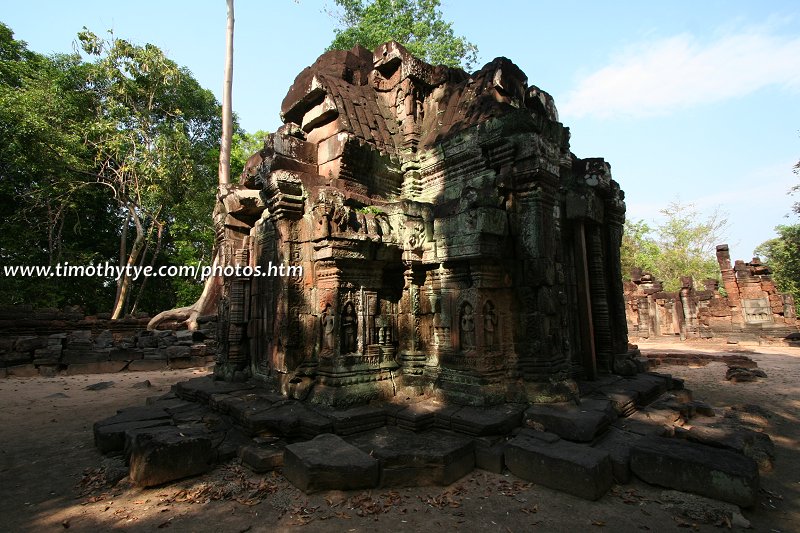
 Krol Ko (26 February, 2006)
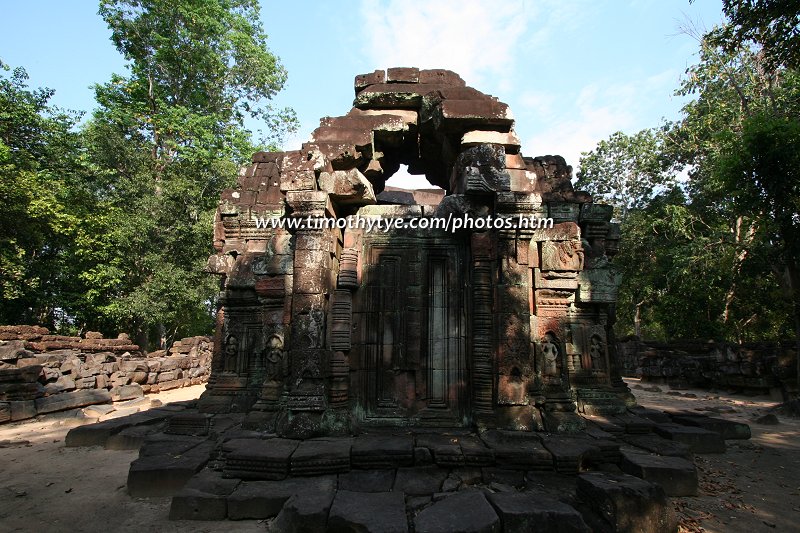
Krol Ko (GPS: 13.46815, 103.89502) is a small temple located about 2 kilometers west of Ta Som, just after the 11th kilometre marker stone and 100 metres to the right of the road, a short distance from Neak Pean. It was built in the late 12th and early 13th century by King Jayavarman II who reigned from AD 1181 to AD 1220. The name Krol Ko means "oxen park".
From the east, you enter the second enclosure through a simple opening in the external laterite enclosure wall. The internal court is defined by a 25 by 35 metre wall - again in laterite - which is itself surrounded on three of its sides with a moat lined with steps.
360° View of Krol Ko Temple on Google Maps Street View
Krol Ko Temple is  in the centre of the Map of Angkor
 Krol Ko (26 February, 2006)
Some frontons have been reconstructed on the ground on either side of a small cruciform terrace. Two of them on the right represent the bodhisattva Lokesvara, to whom the temple may have been dedicated. To the left is Krishna raising the mount Govardhana to shelter the shepherds and their flocks.
How to reach Krol Ko
Krol Ko is a minor temple that will only be of interest to those with time and specific interest in studying Angkor indepth. It is located on the left (north) side of the road that runs between Preah Khan and Ta Som. Turn left 100 meters after Neak Pean which is on the right. Latest updates on Penang Travel Tips
 Map of Roads in Penang
Looking for information on Penang? Use this Map of Roads in Penang to zoom in on information about Penang, brought to you road by road.
Copyright © 2003-2025 Timothy Tye. All Rights Reserved.

 Go Back