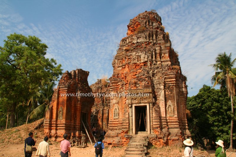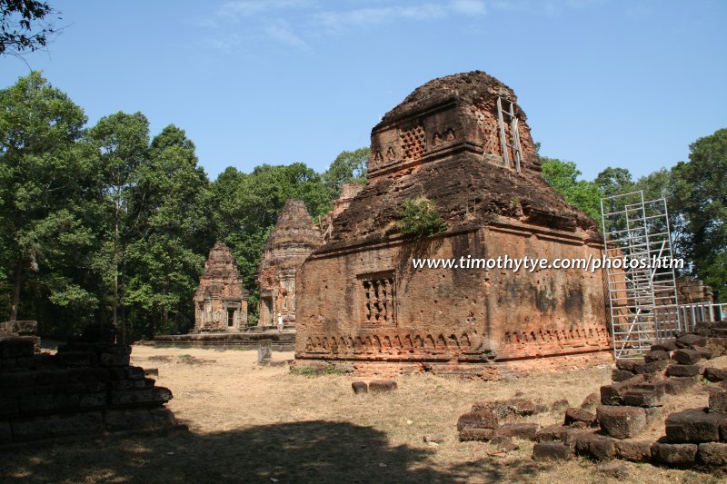
The ruins of Lolei, part of Hariharalaya (29 February 2008)

Hariharalaya (GPS: 13.33834, 103.97718) is the name of an ancient Khmer city that emerged around the 9th Century. It was either founded by Jayavarman II, or he could have taken over it from the kingdom of Aninditapura which he conquered. Within the site of Hariharalaya are the ruins of what we know today as the Roluos Group, which comprise the temples of Preah Ko, Bakong, Lolei and Prei Monti.
According to ancient chronicles, after Jayavarman II settled at the City of Hariharalaya for a short period, he fled the city. He probably had to do so to escape the kings of some of the states that he conquered earlier. He took refuge at a mountain called Mahendraparvata, which today we call Phnom Kulen. In 802 AD, while still staying at Phnom Kulen, he had himself crowned as chakravartin, meaning "emperor of the world". He probably did so in an attempt to assert his power and dominion over his adversaries. The date 802 AD is today taken as marking the start of the age of Angkor.
360° View of Hariharalaya on Google Maps Street View
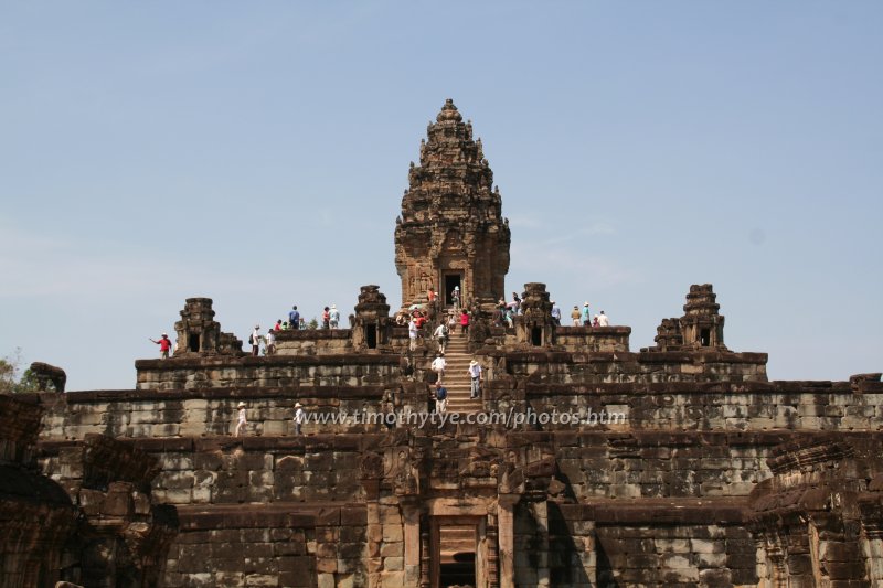
View of the ruins of Bakong, one of the temples of the city of Hariharalaya.Hariharalaya is  in the centre of the Map of Angkor
At the same time that Jayavarman II crowned himself emperor of the world, he also established himself as "supreme king of kings", and took on the title Kamrateng Jagat ta Raja, which translates into Sanskrit as devaraja, meaning "the god who is king". He created a class of priests whose duties is to perform the rituals of worshipping him.
Jayavarman II died in 835 AD, but before that, he came down from Phnom Kulen (we don't know the exact date) and successfully returned to the City of Hariharalaya. Jayavarman II is regarded the founder of the Angkor empire. However, we do not know of any ruins or temples which was built by him. We do speculate that he could have built the temple of Rong Chen, a three-tier four-sided pyramid perched on the highest point of Phnom Kulen.

One of the sanctuaries of Preah Ko (29 February 2008)

Jayavarman II was succeeded by his son Jayavarman III. He is credited for building Prei Monti, the southernmost ruin in the Roluos Group, but nothing much else is known about Jayavarman III.
The next person to assume the supreme throne of Angkor was Indravarman I. He was not related to Jayavarman III, and we do not know the circumstances that led to his accession. Although he reigned for just about 10 years or so, he is credited with quite a number of temple and engineering projects.
Indravarman I built the temple of Preah Ko and Bakong. In addition, he pioneered the building of gigantic reservoirs. To his credit was the Indratataka reservoir, the most ambitious hydraulic project until then. Indratataka reservoir was 3.8 kilometers in length, and about 800 meters in width. He built dykes on the south, west and east sides of the reservoir, allowing the north side to be open to collect the water running down from Phnom Kulen. At the center of the reservoir, he created a manmade island on which he intended to build a temple. He did intend to built a north dyke to close off the reservoir, but he died before he accomplished that.
Indravarman I died in 886 AD. After that, there was a power struggle between Indravarman I's sons. Eventually the throne went to the son Yashovardhana. In 889 AD, Yashovardhana crowned himself Yasovarman I. His royal name means "He who has Renown as his Protector".
Yasovarman I was not keen to stay in his father's capital at Hariharalaya. The war of succession with his brothers had probably done much damage in the city, and so the new king wanted a new start. But before he could leave Hariharalaya, he had to complete the unfinished projects inherited from his father. So he hastily built the north dyke to the Indratataka reservoir. It ended up much smaller than his late father had intended. His father had intended that the manmade island be at the center of the reservoir, that is, 1900 meters from the east and west dykes, and 550 meters from the north and south dyke. To quickly complete the reservoir, Yasovarman I built the north dyke just 250 meters from the manmade island. As a result, the island is off-center.
 Bakong (29 February 2008)
On the island, he built the temple of Lolei, which he dedicated in honor of the spirits of his parents.
After finishing with that task, Yasovarman I moved the capital out of the City of Hariharalaya, and established the City of Yasodharapura, centered on Phnom Bakheng.
Getting there
The temple ruins of Hariharalaya is known today as the Roluos Group, located about 13 kilometers east of Siem Reap. Take Route 6 for 13 km. The first group, comprising Preah Ko, Bakong and Prei Monti, is located south of Route 6. Look out for the turning in with a signpost. Lolei is on the north side of Route 6 about 400 meters farther on. Latest updates on Penang Travel Tips
 Map of Roads in Penang
Looking for information on Penang? Use this Map of Roads in Penang to zoom in on information about Penang, brought to you road by road.
Copyright © 2003-2025 Timothy Tye. All Rights Reserved.

 Go Back