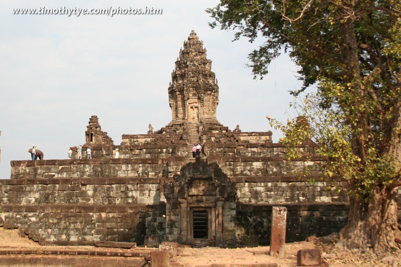
 The Bakong Temple (23 February, 2006)
Bakong ប្រាសាទបាគង (GPS: 13.33584, 103.97409) is the most impressive temple within the Roluos Group. The Roluos group is the name given to a group of pre-Angkor ruins that lie 15 kilometres south-west of Siem Reap and includes three temples - Bakong, Preah Ko and Lolei. These temple ruins date from the late 9th century and corresponding to the ancient capital of Hariharalaya, from which the name of Lolei is derived. Because it is located outside the usual tourist trail, not many people visit it.
Approaching Bakong.
Bakong is  in the centre of the Map of Angkor
Bakong was built around the late 9th century during the reign of King Indravarman I, who reigned from AD 877 to AD 889. It was completed around 881AD, making it much older than Angkor Wat. The Angkorian age only began when king Jayavarman II arrived from Java around 877. (By the way, I learned that there are scholars who disputed Java, claiming that Jayavarman II might have come from the Malay peninsula.) He settled twice at Hariharalaya, which was already an existing city at that time, before his investiture on Phnom Kulen (Mahendraparvata). It was there that the cult of the god kings or "Devaraja" was inaugurated. Jayavarman II died at Phnom Kulen in 850AD, after a reign of 48 years. His successors remained until Yasovarman founded the first Angkor kingdom centred on Phnom Bakheng.
Bakong is quite likely the first time that the Khmer people experimented with building a temple mountain, a type of step pyramid that is so similar to those in Mesoamerica. They created an artificial mound for the Bakong, and enclosed it with two enclosure walls, and surrounded the temple with a moat. This was to be the style of temple construction to last for the next 400 years.
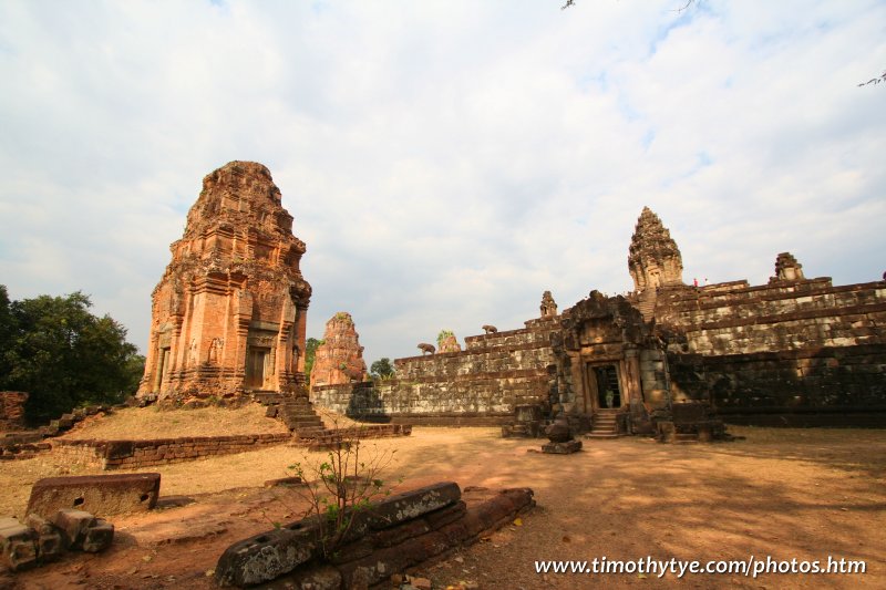 A prasat at Bakong (23 February, 2006)
Many of the carvings on the lintels of Bakong are still in good shape. Like so many temples in Angkor, the Bakong has been renovated even during it sworking life, and the uppermost section may have been added as late as the 12th century.
Construction Period
Built around the late 9th Century (881)by King Indravarman I (reigned 877-889)
How to reach the Bakong Temple
Bakong is part of the Roluos Group of temples, which are all located on the east side of Siem Reap. As they are not as spectacular as the sights within Angkor proper, they receive fewer tourists. If you are independently, get a tuk tuk driver who knows the way. From Siem Reap, take Route 6 for roughly 12.5km. Look for signpost on your right (southside). Turn in and go for another 1.2km. On your way there, you will pass the ruins of Preah Ko on the right (westside). You should visit it too. Then the lane continues southwards until it reaches the north wall of Bakong, then it turns left (eastwards) to follow the moat, then right again (southwards) to take you to the main entrance of Bakong, which faces the east. Is my explanation confusing? Ah, just get a tuk tuk driver who knows the way!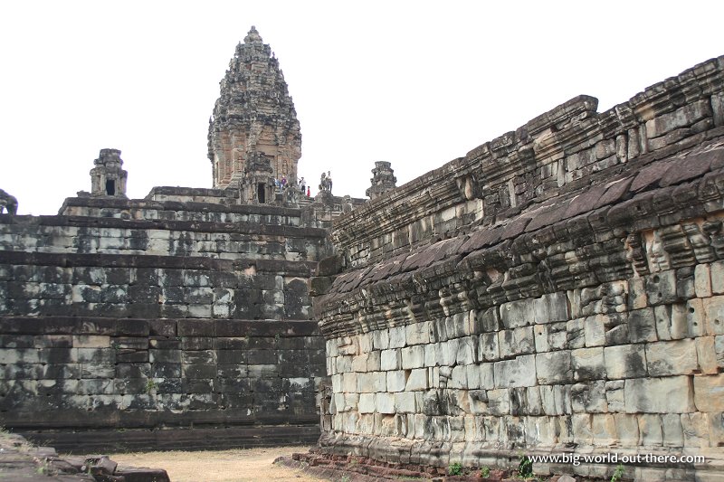 Prasat Bakong (23 February, 2006)
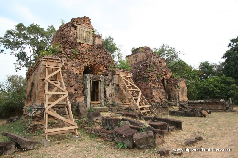 Brick towers in the compound of Prasat Bakong (23 February, 2006)
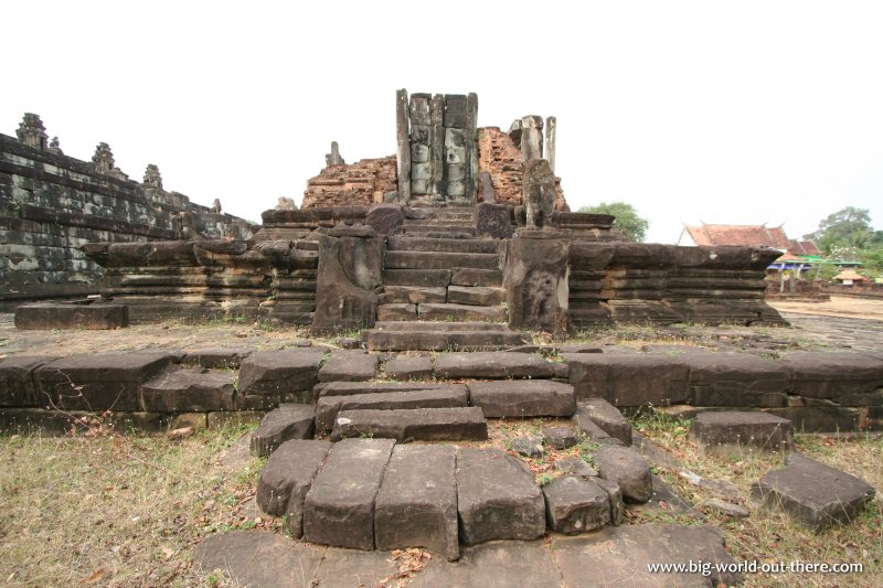 Hall in an advance stage of ruin at Prasat Bakong (23 February, 2006)
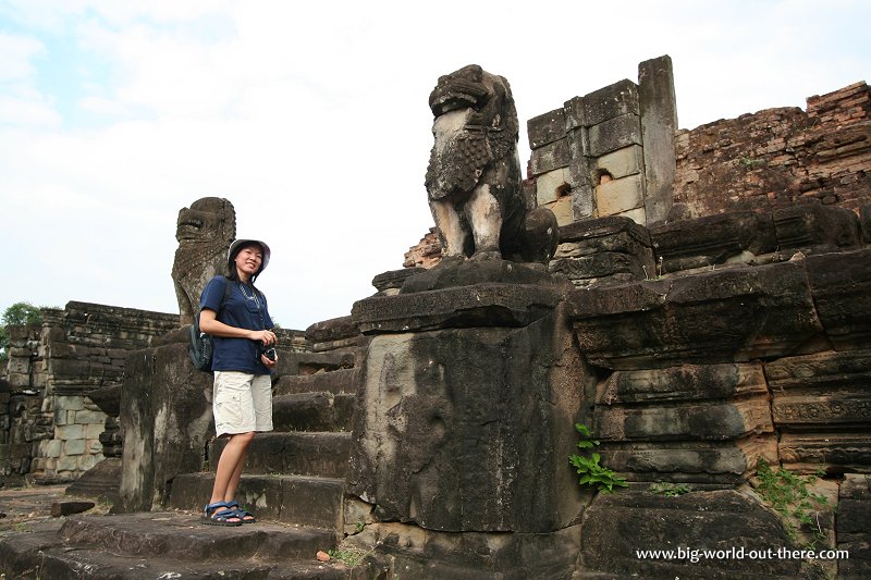 My wife Chooi Yoke at Prasat Bakong (23 February, 2006)
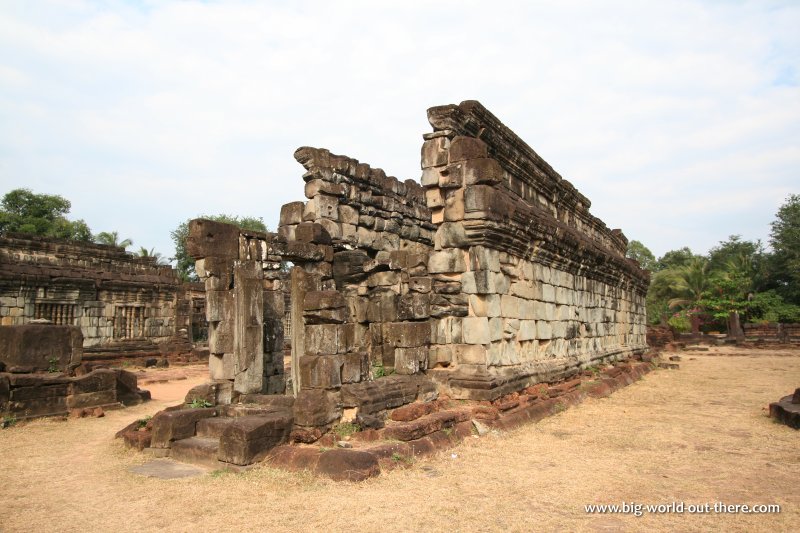 Ruins of a hall at Prasat Bakong (23 February, 2006)
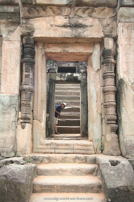 Chooi Yoke looking through the doorway at Prasat Bakong (23 February, 2006)
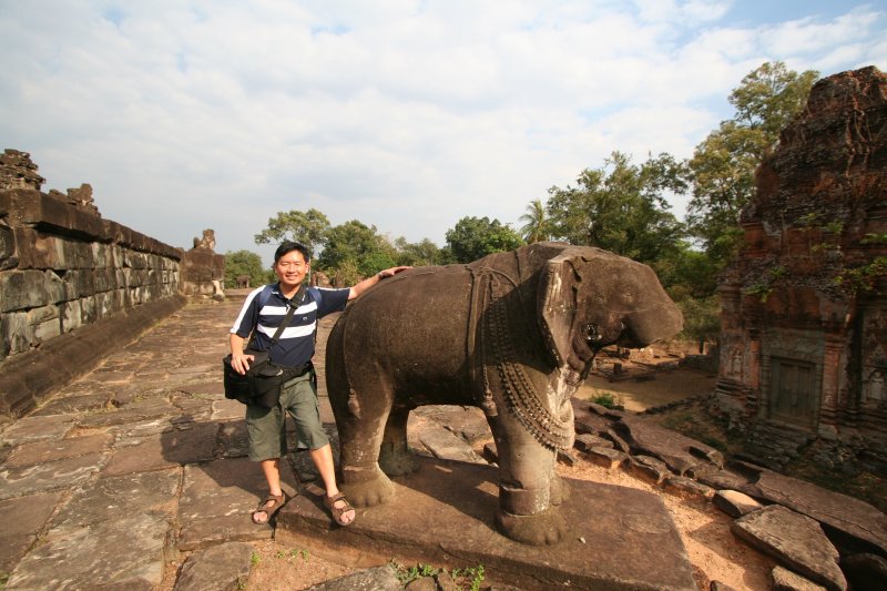 Tim with one of the stone elephants at Prasat Bakong (23 February, 2006)
 Latest updates on Penang Travel Tips
 Map of Roads in Penang
Looking for information on Penang? Use this Map of Roads in Penang to zoom in on information about Penang, brought to you road by road.
Copyright © 2003-2025 Timothy Tye. All Rights Reserved.

 Go Back