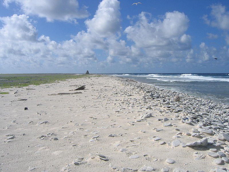
 Birnie Island Beach, Kiribati
Source: https://commons.wikimedia.org/wiki/File:Birnie_Island_Beach.jpg
Author: Joann94024

Kiribati is a small island republic in the Pacific Ocean. Although it has a total land area of only 811 sq km (313 sq mi), Kiribati is dispersed over 3.5 million square kilometers (1,351 sq mi) on both sides of the equator. It has a population of 98,000 (2011 estimate). Its capital is Tarawa while its largest city is South Tarawa.
Kiribati is in three time zones, 12, 13 and 14 hours ahead of Coordinated Universal Time (UTC+12, +13, +14) Its official currency is the Kiribati dollar, although the Australian dollar is used here. Traffic is driven on the left here. The phone IDD code is +686.
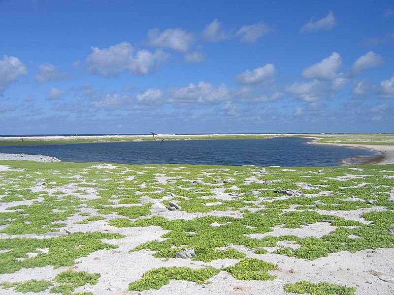
 Birnie Island Lagoon, Kiribati
Source: https://commons.wikimedia.org/wiki/File:Birnie_Island_Lagoon.jpg
Author: Joann94024

The name Kiribati is an adaptation of Gilberts, as the islands were formerly called the Gilbert Islands. The locals are Micronesians. Over half the population are Roman Catholics, while another 40% or so are Protestants.
Kiribati has been inhabited by the Micronesians since 3,000 BC. Successive waves of settlers arrived there from Tonga, Samoa and Fiji, bringing with them different cultural aspects of Polynesia and Melanesia. The islands were first sighted by Europlean explorers - namely British and American ships - in the late 18th and early 19th centuries. They were settled by the British in 1837, named Gilbert Islands, and in 1892 were made a British protectorate, together with nearby Ellice Islands.
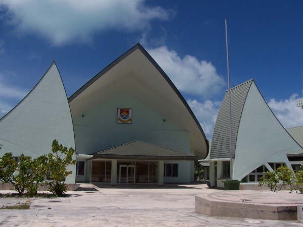
 Kiribati Parliament House
Source: https://commons.wikimedia.org/wiki/File:KiribatiParliamentHouse.jpg
Author: Jopolopy

Gilbert Islands, along with Ellice Islands, were granted self-rule in 1971. The two island groups became separate entities in 1975. In 1978, Ellice Islands were renamed Tuvalu while on 12 July 1979, Gilbert Islands became Kiribati.
Unlike Tahiti and Hawaii, Kiribati is one of the poorest islands in the Pacific. In 2009, it had an estimated nominal GDP of $130 million, and a per capita nominal GDP of $1,304. Its per capita GDP at purchasing power parity stood at $6,048.
Planning your visit to Kiribati
Visitors from Antigua and Barbuda, Australia, Austria, Barbados, Belgium, Bulgaria, Canada, Cook Islands, Cyprus, Czech Republic, Denmark, Estonia, Fiji, Finland, France, Germany, Greece, Grenada, Hong Kong, Hungary, Ireland, Italy, Jamaica, Japan, Kenya, Latvia, Lesotho, Lithuania, Luxembourg, Malawi, Malaysia, Malta, Mauritius, Nauru, the Netherlands, New Zealand, Niue, Poland, Portugal, Romania, Saint Kitts and Nevis, Saint Lucia, Saint Vincent and the Grenadines, Samoa, Seychelles, Sierra Leone, Singapore, Slovakia, Slovenia, Solomon Islands, Spain, Sweden, Tonga, Trinidad and Tobago, Tunisia, , Tuvalu, United Kingdom, United States, Vanuatu, Zambia and Zimbabwe are exempted from getting a visa for entering Kiribati.The cheaper option to reach Kiribati is to fly from Nadi in Fiji. There are two weekly flights from Nadi. Make sure you can a connecting flight to Nadi, and not to Suva.
Major Islands in Kiribati
- Tarawa - capital
- Abaiang
- Abemama
- Aranuka
- Arorae
- Beru
- Butaritari
- Kuria
- Maiana
- Marakei
- Nikunau
- Nonouti
- Onotoa
- Tabiteuea
- Tamana
World Heritage Sites in Kiribati
Kiribati ratified the World Heritage Convention on 12 May, 2000. As of August 2010, it has just one World Heritage Site, in the natural category. Kiribati does not have any sites on the World Heritage Tentative List.- Phoenix Islands Protected Area (2010)
 Latest updates on Penang Travel Tips

Copyright © 2003-2025 Timothy Tye. All Rights Reserved.

 Go Back