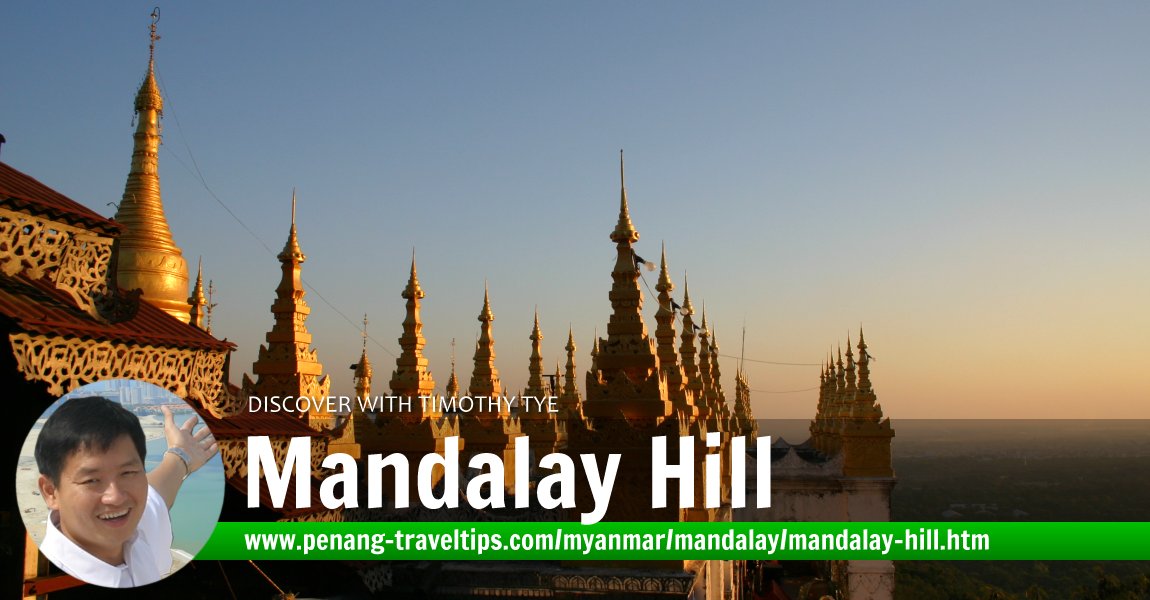
 Mandalay Hill (22 November, 2003)
Mandalay Hill is a hill overlooking the city of Mandalay, Myanmar. It is was the reason the city of Mandalay was founded in the first place. In 1857, King Mindon founded Mandalay to fulfil an ancient Buddhist propecy that Gautama Buddha had visited Mandalay hill 2400 years before that with his disciple Ananda, and had proclaimed that on the 2400th anniversay of his death, a great city of Buddhist teaching would be founded at the foot of the hill. King Mindon took it upon himself to found this city, believing that in so doing, he would achieve enlightenment.
Mandalay Hill is located to the north of downtown Mandalay, The 230 m (790 ft) high hill provides a panoramic view of the surrounding region, and is a favourite viewpoint for visitors to watch sunrise and sunsets over the plains below. At the top of the hill is the Su Taung Pyi Pagoda, meaning "wish-granting pagoda". Visitors may reach the Su Taung Pyi Pagoda on foot, through the covered stairways, or take the car up, and reach the pagoda by escalator (yes indeed, a series of modern-built escalators were installed to take visitors up the hill).
Kilometre-long covered stairways allow visitors to ascend Mandalay Hill on foot. There are two main stairways from the south. It begins under the two very big statues of white chinthes, the guardian beast that is half lion and half dog. The journey to the top consists of 1729 steps but is not particularly difficult. As this is sacred ground, you are required to remove your shoes. Still, the roof keeps the stairway cool under the shade. Halfway up the hill, you will come upon the first large temple, which enshrines three bones of the Buddha.
These three bones originally came from a stupa in Peshawar, in modern-day Pakistan. When Gautama Buddha died at the age of 80 in Kusinara, India, he did not provide any instructions on how to dispose of his body. His follows decided on cremation, but before when only his bones remained, a downpour extinguished the flames. The Mallas of Kusinara took possession of the skeletal corpse, and refused to share it with anyone until it almost caused a war.
Only then did they agree to divide the relics into eight equal portion, and these went to the following kings who built stupas to enshrine the relics.
- Ajatasattu, king of Magadha.
- The Licchavis of Vesali.
- The Sakyas of Kapilavastu.
- The Bulis of Allakappa.
- The Koliyas of Ramagama.
- The brahmin of Vethadipa.
- The Mallas of Pava.
- The Mallas of Kusinara.
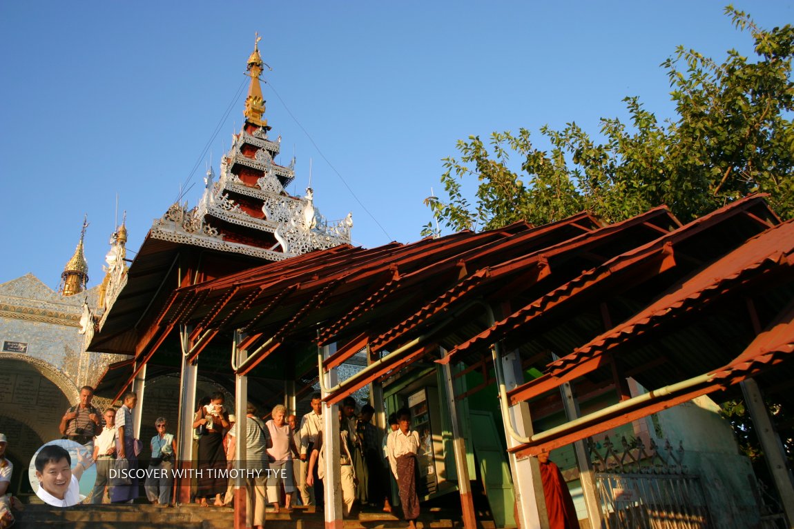 The sheltered passageway that goes up to Mandalay Hill. We did not use it to climb up, as we came by jeep. (22 November, 2003)
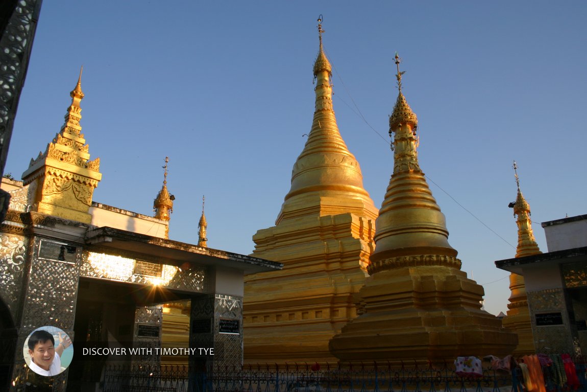 Stupas at the top of Mandalay Hill (22 November, 2003)
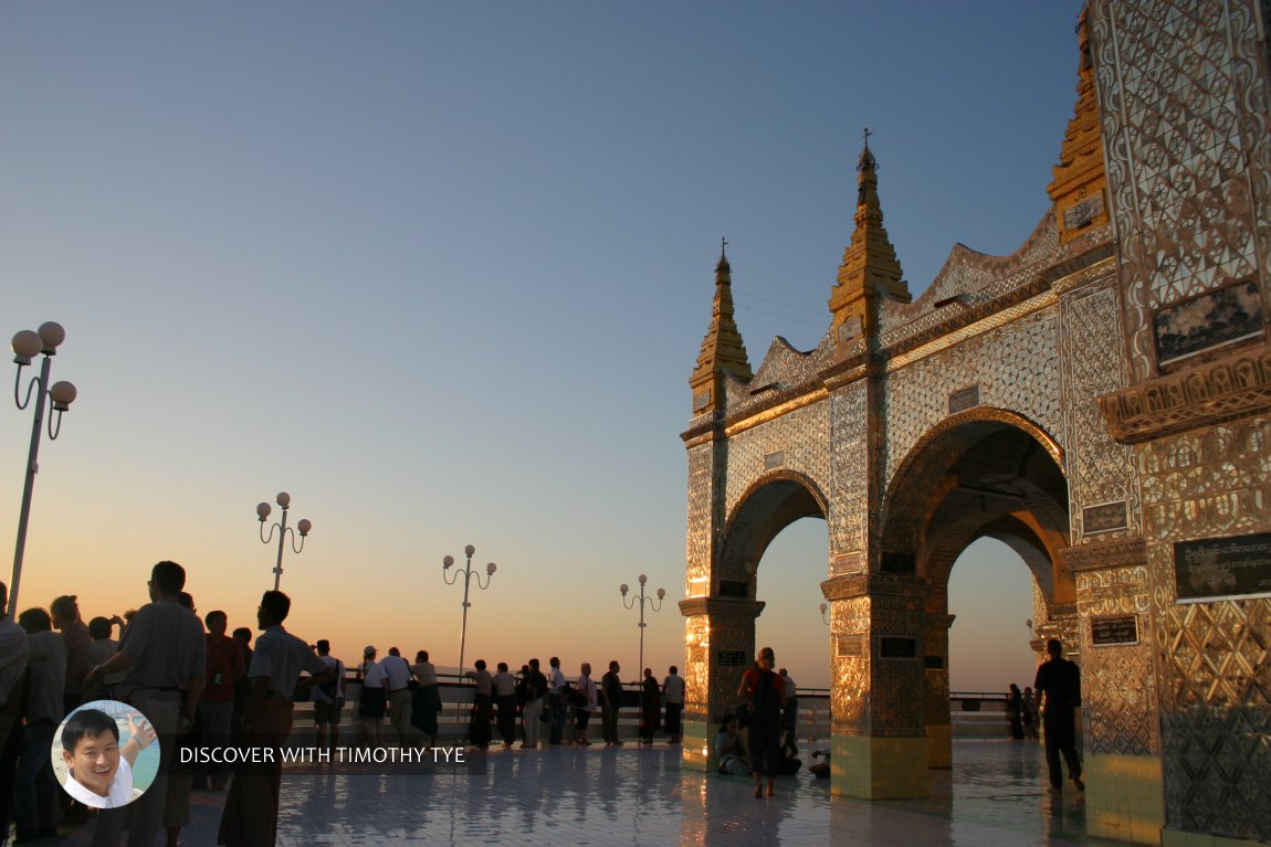 Visitors enjoying the sunset on Mandalay Hill (22 November, 2003)
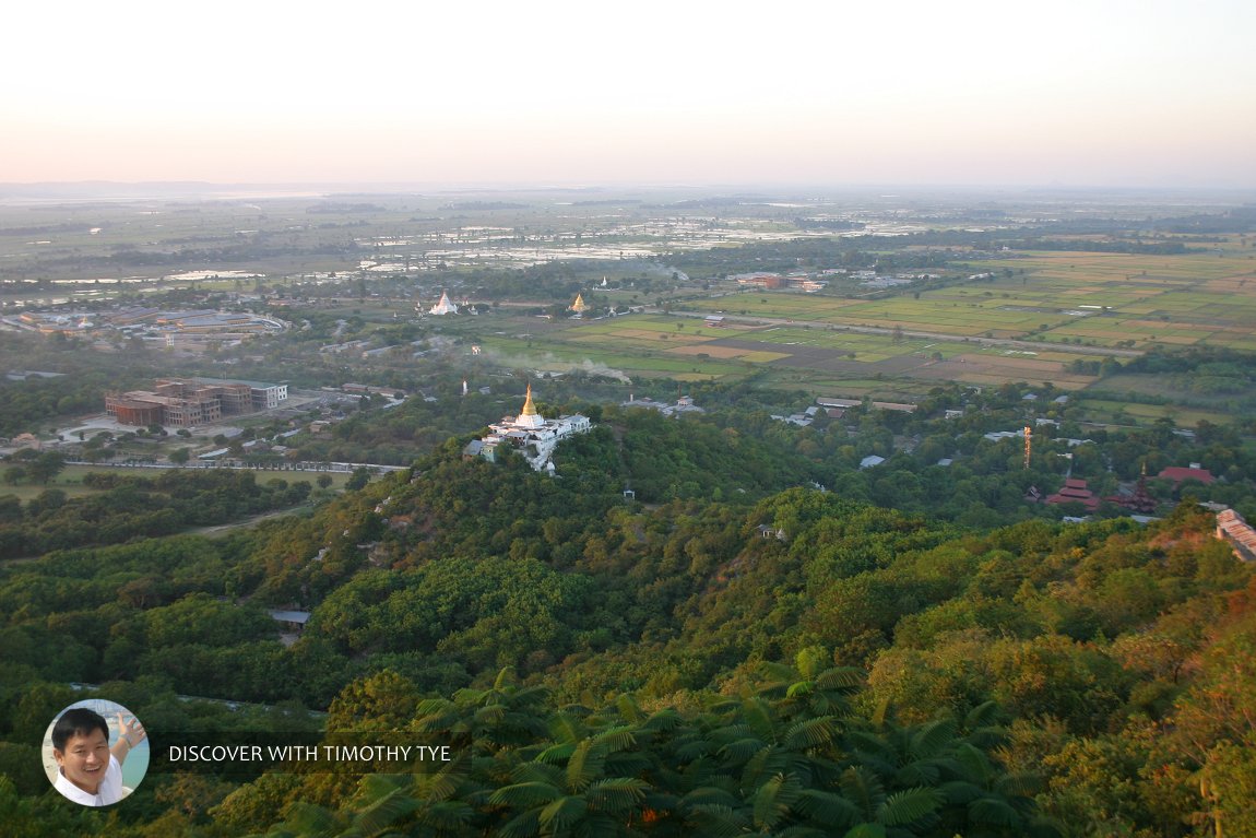 View of the plains below Mandalay Hill (22 November, 2003)
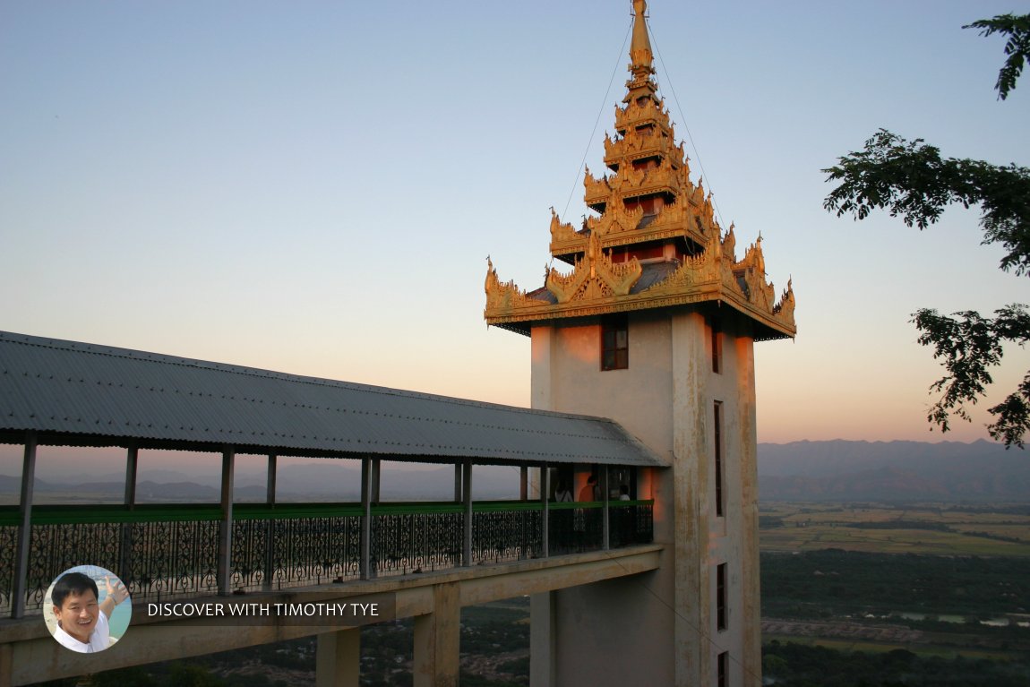 There is now an elevator, so going up to Mandalay Hill is much less arduous. (22 November, 2003)
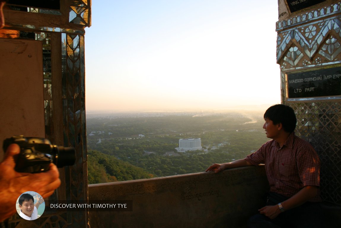 I sat on a ledge to admire the view from Mandalay Hill. (22 November, 2003)
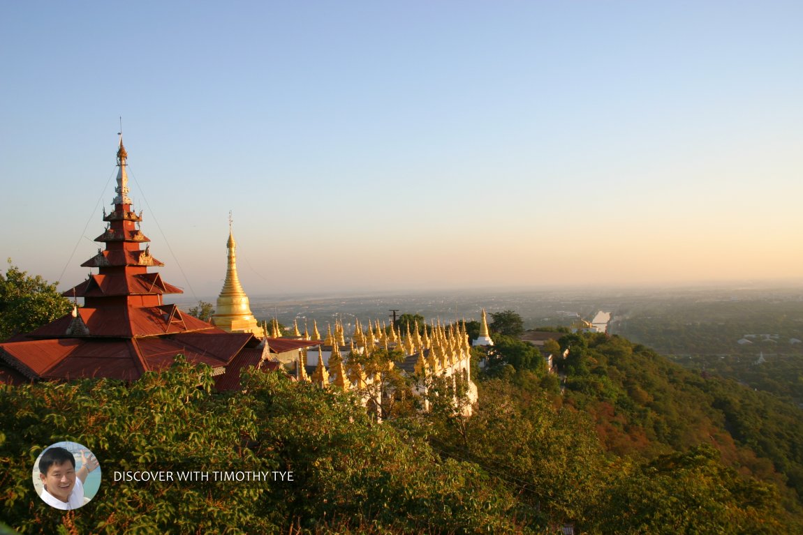 This is my favourite view from Mandalay Hill, looking in the direction of the city. (22 November, 2003)
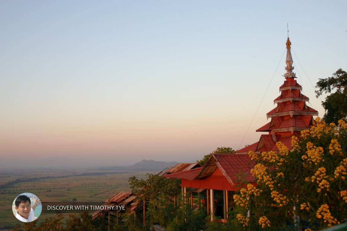 A final view from Mandalay Hill, this one looking away from the city towards the rural plains. (22 November, 2003)
 Latest updates on Penang Travel Tips
 Map of Roads in Penang
Looking for information on Penang? Use this Map of Roads in Penang to zoom in on information about Penang, brought to you road by road.
Copyright © 2003-2025 Timothy Tye. All Rights Reserved.

 Go Back