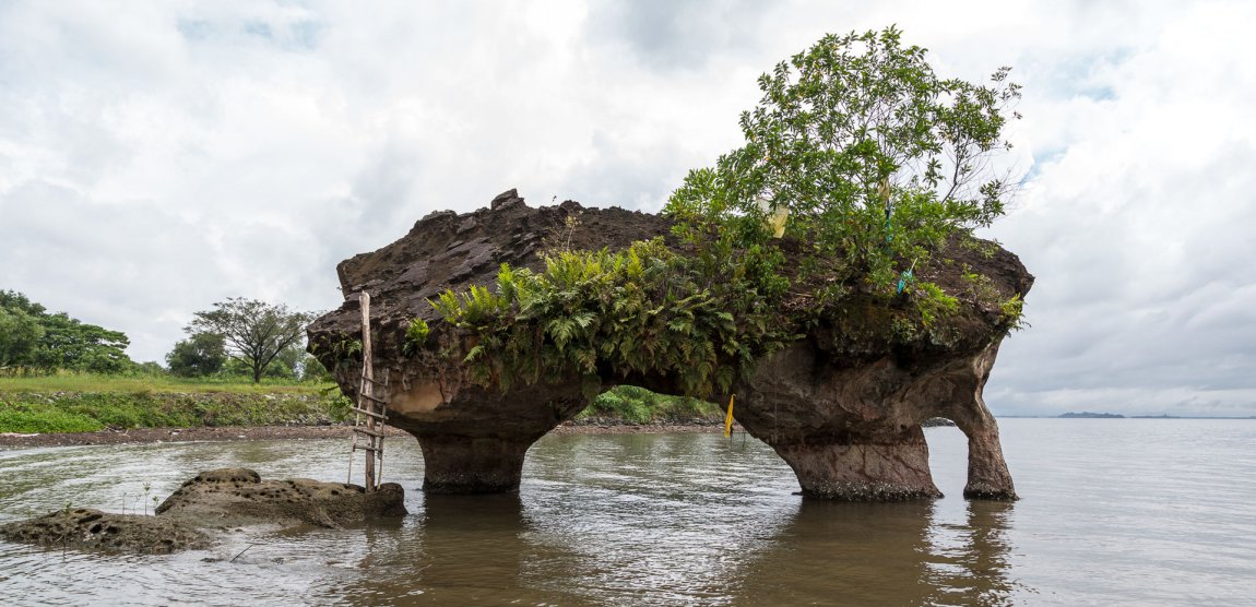
 Batu Sapi
 https://commons.wikimedia.org/wiki/Category:Batu_Sapi#/media/File:Sandakan-Sabah-BatuSapi-04.jpg
 CEphoto, Uwe Aranas
Batu Sapi (GPS: 5.79764, 118.0418) is a rock formation beside the river to the south of Sandakan, Sabah. This rock formation was created by water erosion, current and waves over millions of years. It now stands at the estuary surrounded by mangrove and the fast encroaching Sandakan town. Over the years, the area on the foreshore of Batu Sapi has been developed into an industrial zone.
Getting there
To reach the rock formation, go along Jalan Batu Sapi until the road forks into two, and follow the left fork. The area is now known as the Batu Sapi Heritage Park. There is an unattended pondok where, if manned, you would have to pay admittance fee (Malaysians RM1 for adults, RM0.50 for children, and for foreigners RM15 for adults and RM10 for children).Batu Sapi is  on the Map of Sandakan, Sabah
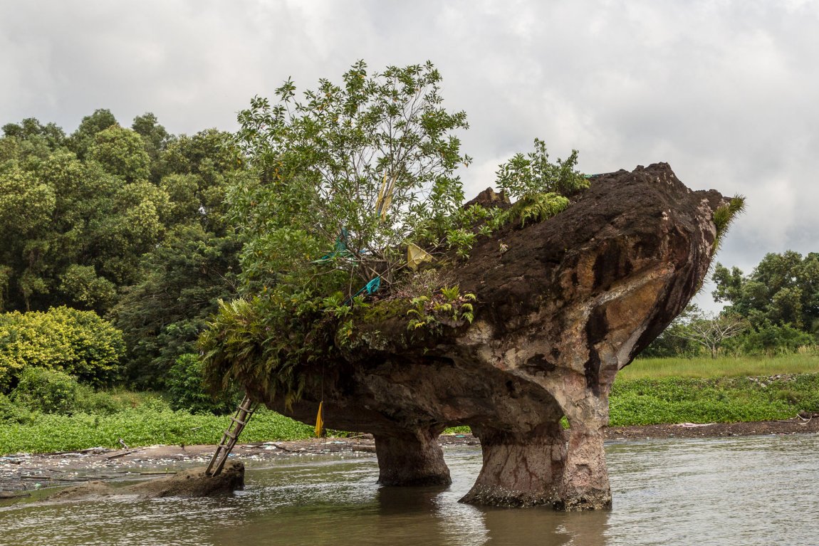 Another view of Batu Sapi
 https://commons.wikimedia.org/wiki/Category:Batu_Sapi#/media/File:Sandakan-Sabah-BatuSapi-05.jpg
 CEphoto, Uwe Aranas
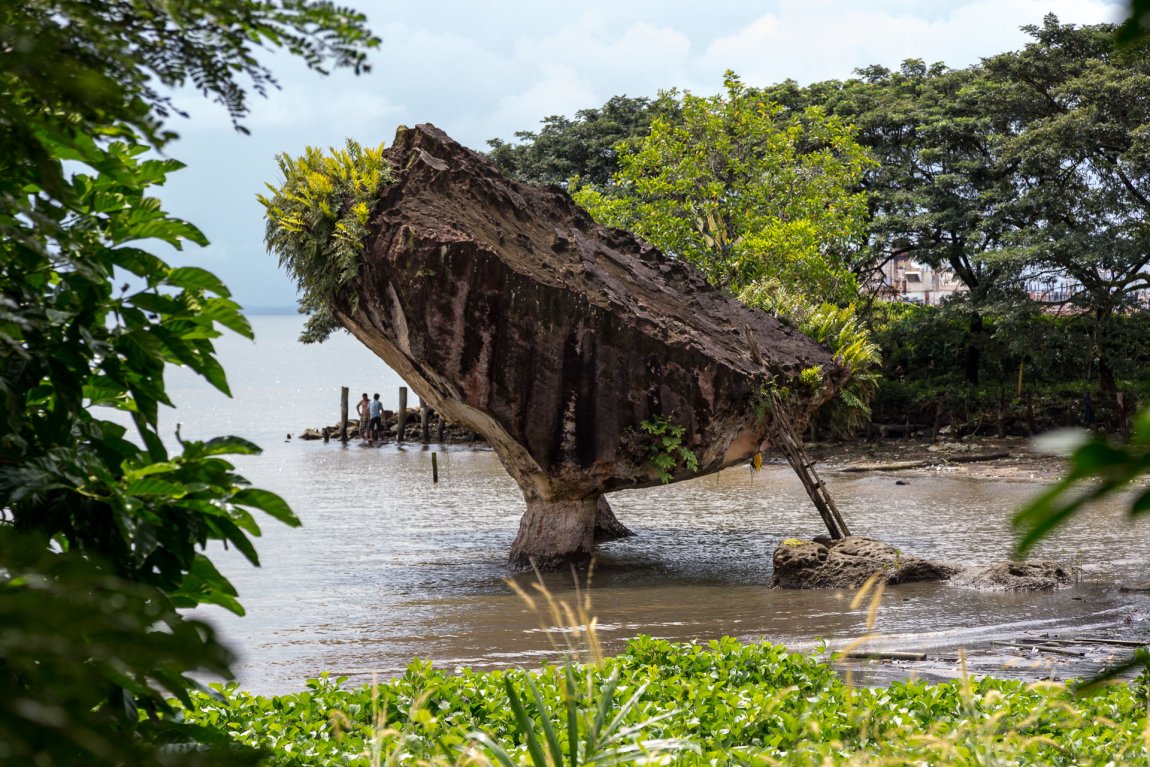 Batu Sapi, seen from a different angle
 https://commons.wikimedia.org/wiki/Category:Batu_Sapi#/media/File:Sandakan-Sabah-BatuSapi-04.jpg
 CEphoto, Uwe Aranas
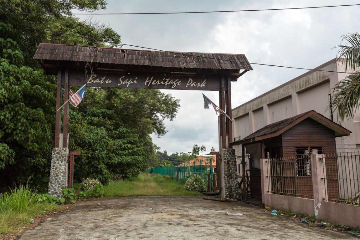 Entrance to Batu Sapi Heritage Park
 https://commons.wikimedia.org/wiki/Category:Batu_Sapi#/media/File:Sandakan-Sabah-BatuSapi-09.jpg
 CEphoto, Uwe Aranas
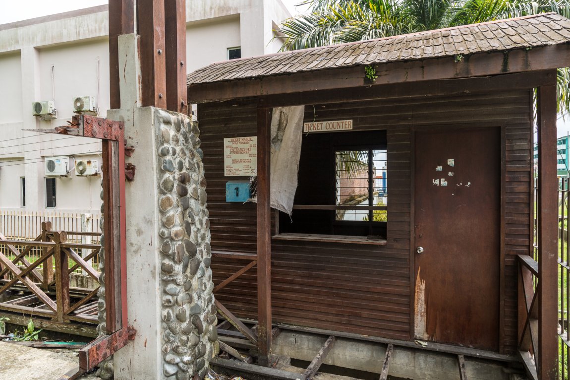 Pondok at entrance of Batu Sapi Heritage Park
 https://commons.wikimedia.org/wiki/Category:Batu_Sapi#/media/File:Sandakan-Sabah-BatuSapi-10.jpg
 CEphoto, Uwe Aranas
List of Tourist Attractions in Sandakan, Tourist Attractions in Sabah and Tourist Attractions in Malaysia
 Latest updates on Penang Travel Tips
 Discover with Timothy videos on Sabah
What to see when in Sabah? Here are some suggestions from my videos.Disclaimer
Please use the information on this page as guidance only. The author endeavours to update the information on this page from time to time, but regrets any inaccuracies if there be any.
Copyright © 2003-2025 Timothy Tye. All Rights Reserved.

 Go Back