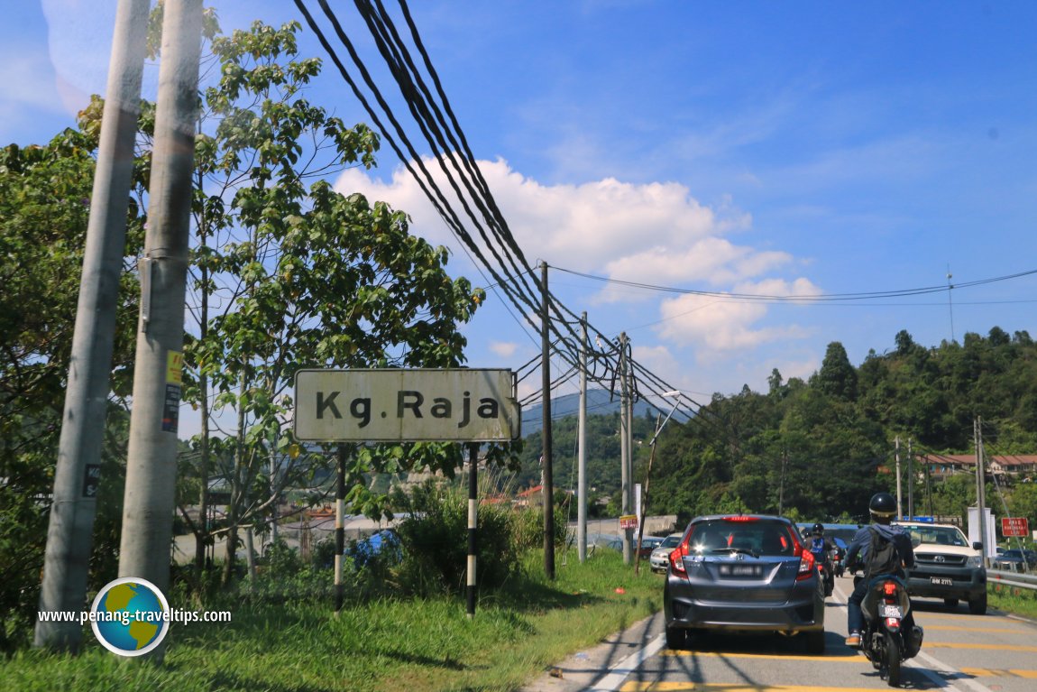
 Kampung Raja road sign (3 May, 2016)
Kampung Raja (GPS: 4.56709, 101.40968) is a small town in Cameron Highlands. It is located along the Cameron Highlands Main Road, also called Federal Route 59, north of Kuala Terla. The town is hilly and surrounded by the vegetable and flower farms while hug the hillsides. There isn't much of interest to visitors here.
Map of sights in Kampung Raja, Cameron Highlands
Local sights in Kampung Raja
360° View of Kampung Raja on Google Maps Street View
Kampung RajaKampung Raja is  on the Map of Towns in Cameron Highlands
Back to Cameron Highlands, Pahang mainpage; list of Towns in Cameron Highlands, Towns in Pahang and Towns in Malaysia
 Latest updates on Penang Travel Tips

Copyright © 2003-2025 Timothy Tye. All Rights Reserved.

 Go Back


