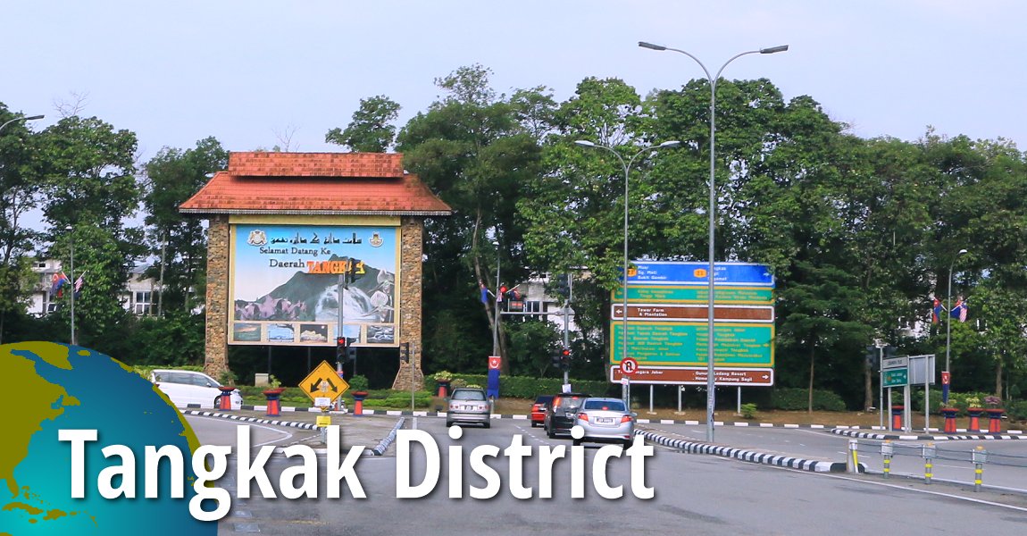
 Daerah Tangkak (11 September, 2016)
Tangkak District, along with Kulaijaya District, is one of the two districts of Johor created in 2008. Originally called Ledang District, the Tangkak District was carved out of Muar District. It is located to the north of the Muar River. Surrounding Tangkak District is the Straits of Malacca to the south, Muar District to the southeast, Segamat District to the northeast, Negeri Sembilan to the northwest and Malacca to the west.
Thye main towns of Tangkak District includes Tangkak, Tanjung Agas, Kesang, Sungai Mati, Serom, Sagil and Bukit Gambir. The district was named after Gunung Ledang (Mount Ophir), the tallest mountain in Johor, which is located within the district.
Map of Tangkak District, Johor
Towns in Tangkak District, Johor
- Tangkak (GPS: 2.2619, 102.53471)

- Bukit Gambir (GPS: 2.29552, 102.67341)

- Bukit Kangkar (GPS: 2.17314, 102.55445)

- Gerisek (GPS: 2.21525, 102.65848)

- Gunung Ledang Recreational Forest (GPS: 2.35453, 102.60406)

- Kesang (GPS: 2.09174, 102.52578)

- Sagil (GPS: 2.35453, 102.60406)

- Sungai Mati (GPS: 2.14545, 102.56256)

- Tanjung Agas (GPS: 2.05511, 102.56071)

Back to Discover Johor; List of Districts in Johor
 Latest updates on Penang Travel Tips

Copyright © 2003-2025 Timothy Tye. All Rights Reserved.

 Go Back