Fussa (Japanese: 福生市) is a city on the central western part of Tokyo Metropolis, Japan. It covers 10.24 sq km (3.95 sq mi) and has a population of 60,000 people (2012 estimate). It is located in the geographic center of the metropolis, and is surrounded by Akiruno, Akishima, Hamura, Hachioji, Musashimurayama and Tachikawa.
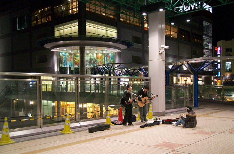
 Street musicians in Fussa, Tokyo
Source: http://commons.wikimedia.org/wiki/File:StationMusicians1357Edited.jpg
Author: Fg2

Author: Fg2

Fussa was formerly part of Musashi Province. It was once a farming area noted for producing silkworms and sake. During the Meiji Restoration, the hamlets in the area were merged to form the villages of Fussa, Kumagawa and Tama. These were within the Shinagawa Prefecture for a short while, and then later transferred to Kanagawa Prefecture.
Fussa was transferred to Tokyo Metropolis on 1 April, 1893. It was given town status in 1940 and city status in 1970. The area was an aircraft testing ground during the Second World War. Curiously, it suffered only minimal bombing during the war, and was seized by the US forces almost intact. Today the US Air Force Yokota Air Base is still occupying the site, which takes up a third of Fussa.
Going to Fussa
Train services to Fussa include the JR East Ōme Line (Stations: Haijima, Ushihama, Fussa), JR East Hachikō Line (Stations: Higashi-Fussa, Haijima), JR East Itsukaichi Line (Stations: Kumagawa, Haijima), and Seibu Railway's Seibu Haijima Line (Haijima Station). If going by road, take the Japan National Route 16. Latest updates on Penang Travel Tips
 Map of Roads in Penang
Looking for information on Penang? Use this Map of Roads in Penang to zoom in on information about Penang, brought to you road by road.
Copyright © 2003-2025 Timothy Tye. All Rights Reserved.

 Go Back