 Arvada Olde Town
Source: https://commons.wikimedia.org/wiki/File:Arvada_Olde_Town_Arvada_CO.jpg
Author: Hustvedt

Arvada is a city in the central part of Colorado. It is within Jefferson County and Adams County. Covers 35.759 sq mi (92.616 sq km), Arvada is at an elevation of 5,344 ft (1,662 m). It is within the Denver-Aurora-Broomfield Metropolitan Area. The city is just 7 miles (11 km) to the northwest of Denver, as measured from the Colorado State Capitol.
With a population of 106,000 (2011 estimate), Arvada is the 8th most populous city in Colorado. It traces its history back to 1850, when a settlement was established there by gold prospectors. The person credited with founding Arvada was Georgian prospector Lewis Ralston. Some of the failed prospectors turned to farming the area, and their farm produce helped to feed the growing tide of prospectors descending on the area.
The laying of the Colorado Central Railroad through Arvada in 1870 helped to spur its growth. The city was incorporated on 14 August, 1904. By then it had growned into a major farming district, and was nicknamed the "Celery Capital of the World".
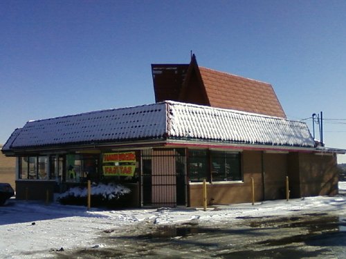
 Luna's Uno restaurant in Arvada, Colorado
Source: https://commons.wikimedia.org/wiki/File:Luna%27s_Uno,_Arvada,_CO.jpg
Author: Xnatedawgx

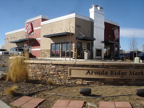
 Jack in the Box restaurant in Arvada
Source: https://commons.wikimedia.org/wiki/File:JackInTheBox,_Arvada,_CO.jpg
Author: Jmy007

Visiting Arvada, Colorado
To reach Arvada from Denver, take Interstate 76. In modern times, Arvada has developed into a bedroom community for people working in downtown Denver.Places of Interest in Arvada, Colorado
- Arvada Center for the Arts and Humanities
- Olde Town Arvada
 Latest updates on Penang Travel Tips

Copyright © 2003-2025 Timothy Tye. All Rights Reserved.

 Go Back