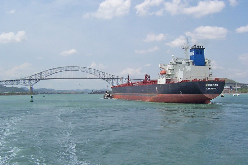
 Ship approaching the Bridge of the Americas on the Panama Canal
Source: https://commons.wikimedia.org/wiki/File:PANAMA_CANAL_14.jpg
Author: Biberbaer

Panama is a small country in Central America. It is located on an isthmus linking Central America to South America. Covering 75,517 sq km (29,157 sq mi), Panama is bordered by Costa Rica to the north and Colombia to the south. It has a population of 3.5 million people (2011 estimate). The capital and largest city is Panama City.
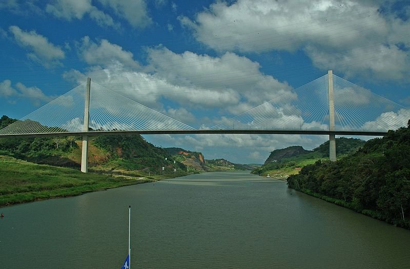 Centennial Bridge across the Panama Canal
Source: https://commons.wikimedia.org/wiki/File:Centennial_Bridge.jpg
Author: Cracker Ken

Panama is 5 hours behind Coordinated Universal Time (UTC-5). The official currency is officially the Balboa. However US Dollar is the currency notes used in the country. It has been fixed at parity since 1903. There was an attempt to introduce balboa banknotes in 1941. The try-out lasted only seven days, leading to them being called the Seven-Day Dollar.
Traffic is driven on the right, just as in the United States. Phone IDD code is +507. The electricity is 120V/60Hz using USA plugs.
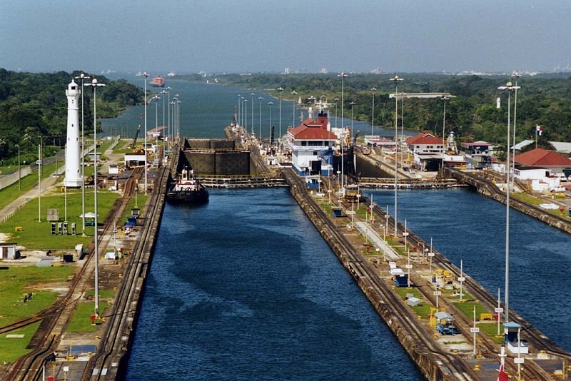 Gatun Locks on the Panama Canal
Source: https://commons.wikimedia.org/wiki/File:Panama_Canal_Gatun_Locks.jpg
Author: Stan Shebs

Panama is heavily dependent on the Panama Canal for its revenue. In 2009, it had an estimated nominal GDP of $24.711 billion, equivalent to a per capita nominal GDP of $7,133. The per capita GDP at purchasing power parity was $11,788. Unlike elsewhere in Central America, in Panama Christopher Columbus was not the first European to explore it. He was beaten by Rodrigo de Bastidas, who was sailing westward from Venezuela in 1501, arriving there a year ahead of Columbus. In 1513, Vasco Núñez de Balboa trekked from the Atlantic coast to the Pacific, confirming that the land was an isthmus between two oceans.
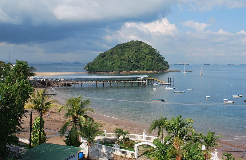 Isla Taboga, with Panama City in the background
Source: https://commons.wikimedia.org/wiki/File:El_morro.JPG
Author: Osopolar

Panama was part of the Spanish Empire from 1538 until 1821, when it along with its Central American neighbors declared independence from Spain, and became a department of Colombia. Panama declared its independence from Colombia in 1903, with the support of the United States, giving the US sovereignty over a zone of 10 miles (16 km) in width and 50 miles (80 km) in length, in which the US built the Panama Canal, completing it in 1914.
Today Panama is a constitutional democracy headed by a president. According to the Global Competitive Index, it has the second most competitive economy in Latin America.
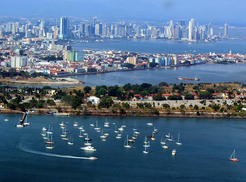 Panama City
Source: https://commons.wikimedia.org/wiki/File:Panama_city_skyline.jpg
Author: dsasso

Planning your visit to Panama
Visitors who do not need a visa include the citizens of Andorra, Argentina, Austria, Belgium, Bolivia, Brazil, Brunei, Germany, Ireland, Israel, Malta, Portugal, San Marino, Singapore, Switzerland, United Kingdom and Uruguay. Visitors from Australia, Canada, Japan, and the United States can enter Panama with a visa upon arrival that costs US$13 and is valid for 180 days.Tocumen International Airport is the main airport for Panama. It is 20 miles to the east of Panama City. The airport gets flights connecting it to major cities in the Americas.
Major Cities in Panama
Places of Interest in Panama
- Bocas del Toro
- Chiriquí Highlands
- Pearl Islands
- Pedasi
- San Blas Islands
- Taboga
National Parks in Panama
- La Amistad International Park
- Parque Nacional Marino Golfo de Chiriquí
- Volcan Barú National Park
 Latest updates on Penang Travel Tips

Copyright © 2003-2025 Timothy Tye. All Rights Reserved.

 Go Back