Ebury Bridge Road, London
Ebury Bridge Road is a short but historically rich street in the City of Westminster, located in central London. It runs in a north–south direction from the busy junction of Buckingham Palace Road, Ebury Bridge, and Pimlico Road in the north, down to the junction with Chelsea Bridge Road in the south, close to the River Thames and Chelsea Bridge itself.
Street Length and Traffic Direction
Ebury Bridge Road measures approximately 0.4 miles (about 650 metres) in length. Traffic flows in both directions along the road, though parts of it narrow as it approaches the bridge area. It serves as a local access route for residents, commuters, and pedestrians heading toward Chelsea, Victoria, or the Pimlico area.
History and Origins
The area around Ebury Bridge Road was largely rural until the 18th century, when development began around the former Ebury Farm. The road itself dates back to the early 19th century and was constructed as part of the urban expansion of the Grosvenor Estate. It owes its name to the former manor of Ebury (also spelled "Ebury" or "Eabury" historically), which once encompassed much of the land in the Pimlico and Victoria areas. The pronunciation of Ebury is “EE-buh-ree”. In the International Phonetic Alphabet, this is rendered as /ˈiːbəri/  .
.
The "bridge" in the road's name refers to the crossing over the now-culverted Ranelagh Sewer, later converted into a railway bridge when the London, Brighton and South Coast Railway was built in the mid-1800s. Today, trains from Victoria Station pass just beside the road on an elevated viaduct.
Character of the Road
Ebury Bridge Road blends a mix of residential developments and transport infrastructure. On one side, you'll find post-war housing estates like the Ebury Bridge Estate, which has been undergoing regeneration. On the other, the street borders elegant parts of Belgravia, giving the area an intriguing contrast of architectural styles and lifestyles. The street has a quiet, local character compared to nearby Victoria, yet it remains well connected and centrally located.
Streets connected to Ebury Bridge Road
- Buckingham Palace Road
- Ebury Bridge
- Chelsea Bridge Road
- Gatliff Road
- Julia Crallan Street
- Loverose Way
- Pimlico Road
- St Barnabas Street
Nearby Sights and Attractions
Within walking distance of Ebury Bridge Road are several notable London landmarks and places of interest:
- Chelsea Bridge – a striking suspension bridge offering views over the Thames.
- Battersea Park – just across Chelsea Bridge, a spacious Victorian park with a boating lake and Peace Pagoda.
- Victoria Coach Station – one of London's major bus terminals, located nearby on Buckingham Palace Road.
- Victoria Station – a key transport hub and gateway to central London attractions.
- Pimlico Road Antiques District – a short stroll away, this street is lined with high-end antique dealers and galleries.
Real Estate and Property Values
As of May 2025, property prices along Ebury Bridge Road reflect its central location and mixture of housing types. On the northern end near Belgravia, flats can command prices of £1,100–£1,500 per square foot (approximately £11,840–£16,150 per sq metre). South of the railway viaduct, in the regeneration zone, prices are somewhat more accessible, ranging from £750–£950 per square foot (£8,070–£10,230 per sq metre).
Properties vary from compact one-bedroom flats of around 500 sq ft (46 sq m) to larger family-sized apartments of 1,200 sq ft (111 sq m) or more. The Ebury Bridge Estate regeneration promises new-build apartments with modern finishes and energy efficiency.
Transport Connections
Underground Stations
- Victoria Station – served by the Victoria, District, and Circle lines. It is located about a 7-minute walk north of the road.
- Sloane Square Station – served by the District and Circle lines, located about a 10-minute walk to the west.
- Pimlico Station – served by the Victoria line, about a 12-minute walk to the east.
Bus Stops
Several bus routes stop along Buckingham Palace Road and Chelsea Bridge Road. Nearby stops offer services including:
- Bus 11 – to Liverpool Street via Victoria and Westminster
- Bus 44 – to Tooting and Vauxhall
- Bus 170 – to Roehampton and Victoria
- Bus C10 – to Canada Water and Pimlico
Fun Fact
The Ebury Bridge Estate was once featured in a BBC documentary about post-war housing, highlighting the architectural ambitions and social aims of London's mid-20th-century planners. The estate is now undergoing a major redevelopment that promises to blend modern design with community-focused living.
Quick Facts
- Location: City of Westminster, Central London
- Length: Approx. 0.4 miles (650 metres)
- Direction: Runs north–south from Buckingham Palace Road to Chelsea Bridge Road
- Named After: Ebury Manor and a bridge over former Ranelagh Sewer
- Character: Residential, mixed-use, undergoing regeneration
- Nearby Landmarks: Chelsea Bridge, Battersea Park, Victoria Station
- Property Prices (2025): £750–£1,500 per sq ft (£8,070–£16,150 per sq m)
- Nearest Underground Stations: Victoria, Sloane Square, Pimlico
- Bus Routes: 11, 44, 170, C10
- Fun Fact: Featured in a BBC programme about London housing estates
Who Were the Grosvenors, and How Did They Acquire This Land?
If you're wondering why so many streets and squares in this area bear names like Grosvenor, Belgrave, Eaton, or Wilton, it's because much of this land once belonged to the powerful Grosvenor family. To find out how they came to own vast swathes of Mayfair, Belgravia, and Pimlico — and whether they had any ties to the government or the royal family — read our in-depth article here.
Map of Ebury Bridge Road, London
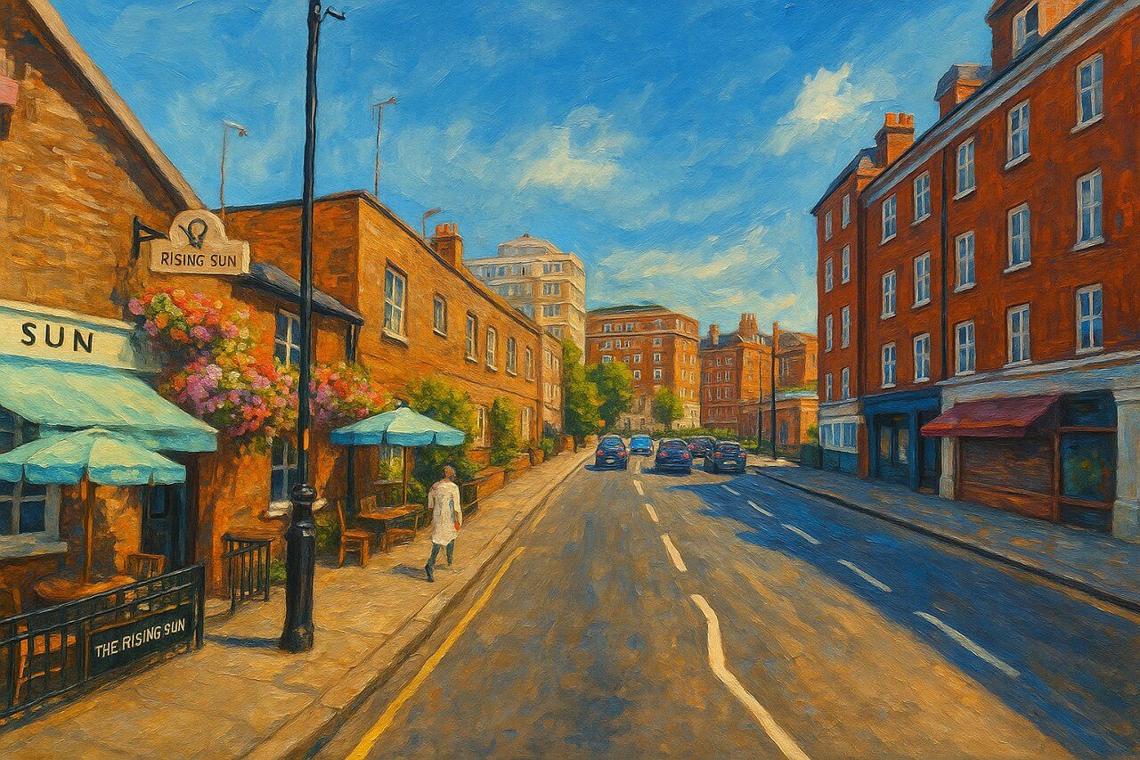
Painting of Ebury Bridge Road, London (View image in full size)
Page Details
This page was created on 12 May 2025. Hi, my name is Timothy and created it from my research, for my own entertainment, knowledge and to satisfy my curiosity. I am providing the information to you in good faith and hope it is useful. I try to get the details as accurate as possible. I also try to update the page whenever I stumble on new details. So this and all my other pages are perpetual work in progress. If you discover any error, please politely inform me, pointing out where the error lies, and I will correct it as soon as possible. Your helpfulness will keep this page accurate, relevant and helpful to those who need the information.Moving to London?
New to London and need a place to live? Read our Renting A Flat Guide. This guide covers everything you need to know about renting a flat in London, from viewing to signing.Streets of London
Come, let's explore and discover the streets of London together! Listed here afre the Streets of London that I have documented. Dive in and discover!Map of Streets in London
View all the streets that I have documented on Google Maps in this Map of Streets in London.Want to share your London travel experiences or get tips from fellow travellers?
Join the London Travel Tips Facebook GroupMore information for visiting London
Here are some related articles to help you get to know London better.- Cost of Living in London: Discover the true cost of living in London, including housing, transport, groceries, and more - plus tips for budgeting in one of the world's most expensive cities.
- Driving in London: Planning to drive in London? Learn about roads, car rentals, parking, tolls, and key tips for tourists and visitors from outside the capital.
- Driving Tips for Visiting London: Thinking of driving to London? Discover the best times to travel, congestion tips, parking apps, breakdown help, and petrol advice for a smoother journey.
- Evolution of London's Streets: Discover the fascinating history of how London's streets developed from ancient footpaths to today's complex network of roads across the capital.
- History of Immigration to London: Discover the rich history of immigration to London, from Huguenots to Bangladeshis, and how diverse communities have shaped the city's vibrant identity.
- How Big Is London Compared to Other World Cities?
- How London's Streets Measure Up: A Global Comparison of Road Widths
- How Streets of London are Named: Discover how London streets get their names, who decides them, and how historic, political, and public influences shape street naming in the capital.
- How the Grosvenor Family Came to Own Much of Mayfair, Belgravia and Pimlico: Explore how the Grosvenor family came to own much of Mayfair, Belgravia, and Pimlico, and learn about their historical connection (or lack thereof) with the British royal family and government.
- Living and working in London
- London's Quiet Collapse: How Living Standards Fell as Costs Skyrockted (1975-2025): Explore how London residents endured rising costs and falling living standards from 1975 to 2025 - from rocketing rents to wage stagnation and inflation.
- Marvel of the London Underground: Discover the history, challenges, and triumphs of the London Underground - the world's first underground railway and a vital transport lifeline for the UK capital since 1863.
- Moving to London: Expat Tips for Settling in Westminster: Essential advice for expats moving to London's Westminster: neighborhood insights, cost of living, transportation, housing, healthcare, schools, and tips to help you feel at home in the heart of the city.
- Places in London that aren't pronounced the way they're spelled
- Shopping in London: Discover London's diverse shopping scene
- Taking the bus in London: This is your complete guide to taking the bus when in London.
- The Anglican Faith: A Visitor's Guide to the Church of England: Learn about the Anglican faith and its deep ties to London's landmarks like Westminster Abbey and St Paul's Cathedral.
- Top 10 London Streets Every Visitor Must See: Discover London through its most iconic thoroughfares - 10 streets every visitor must experience. From historic Abbey Road to vibrant Camden High Street, explore culture, shopping, and hidden gems.
- Why are most roads in Central London so narrow? Learn why there are so few multi-lane roads and elevated highways in the heart of the city.

