
Klang River
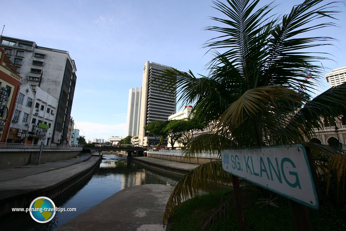
[an error occurred while processing this directive] Klang River, at its confluence with the Gombak River. (8 February, 2006)
B. Melayu
The Klang River is the main river flowing through Kuala Lumpur and Selangor. It has a length of 120 km. The Klang Valley, which covers 1288 square kilometers, is the basin drained by the river.
Klang River has 11 major tributaries. The Gombak River forms a confluence with the Klang River in the heart of Kuala Lumpur, and the very confluence gave the city its name. Other tributaries include the Ampang River, Sungai Penchala and Sungai Kuyoh. Klang River itself has an older name, Sungai Seleh, which is almost unheard of today.
The Klang River has its source in the highlands of Selangor, about 25km to the northeast of Kuala Lumpur. Along its course are two major dams, the Batu Dam and Klang Gates Dam. Due to heavy development, certain stretches of the Klang River have been reduced to nothing more than a concreate drain. This has resulted in flash floods within Kuala Lumpur.
To reduce the occurence of floods, the SMART Tunnel was built. It serves a dual purpose - as a vehicular tunnel during normal circumstances and as a storm drain in times of heavy downpour.
In order to understand the Klang River, I traced its course from its delta at Port Klang all the way to Klang Gates Dam. I found that the distance is about 88.5 km, that means, about a quarter of its length remains above the dam. I could only trace the course up to Klang Gates Dam, beyond which Google Maps is not sufficiently accurate to pinpoint the source of the river.
Being able to view the entire course of the Klang River, I get a better understanding of how the river flows through the Klang Valley on its way to the Straits of Malacca (or, to be precise, Klang Straits). I found that the river flows to the south, near Puchong, only to curve northwards around Kampung Bukit Lanchung. At the Shah Alam Technology Park it curves once more to begin a zigzag course heading west. As it approaches the coast, the Klang River makes several big loops before entering Klang Straits between Southport and North Klang Straits Industrial Zone.
 Klang River through Kuala Lumpur at sunset. The banks were undergoing beautification when this photo was taken. (10 September, 2016)
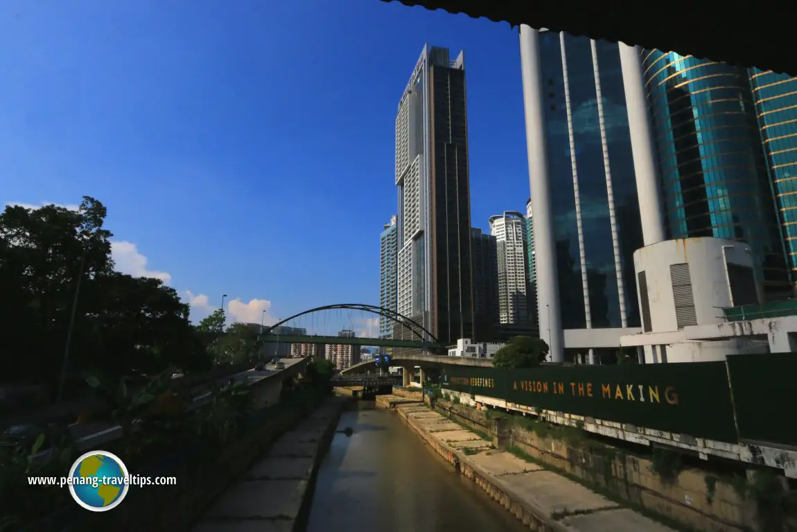
 Klang River near the Dang Wangi LRT Station, with view of Platinum Suites. (14 June, 2017)
Map of the Klang River
Back to Selangor Travel Tips; list of Rivers in Selangor and Rivers in Malaysia
[an error occurred while processing this directive]Latest from Discover with Timothy: Gurney Bay - what to see and do there
About this website

Hello and thanks for reading this page. My name is Timothy and my hobby is in describing places so that I can share the information with the general public. My website has become the go to site for a lot of people including students, teachers, journalists, etc. whenever they seek information on places, particularly those in Malaysia and Singapore. I have been doing this since 5 January 2003, for over twenty years already. You can read about me at Discover Timothy. By now I have compiled information on thousands of places, mostly in Peninsular Malaysia and Singapore, and I continue to add more almost every day. My goal is to describe every street in every town in Malaysia and Singapore.
Copyright © 2003-2024 Timothy Tye. All Rights Reserved.