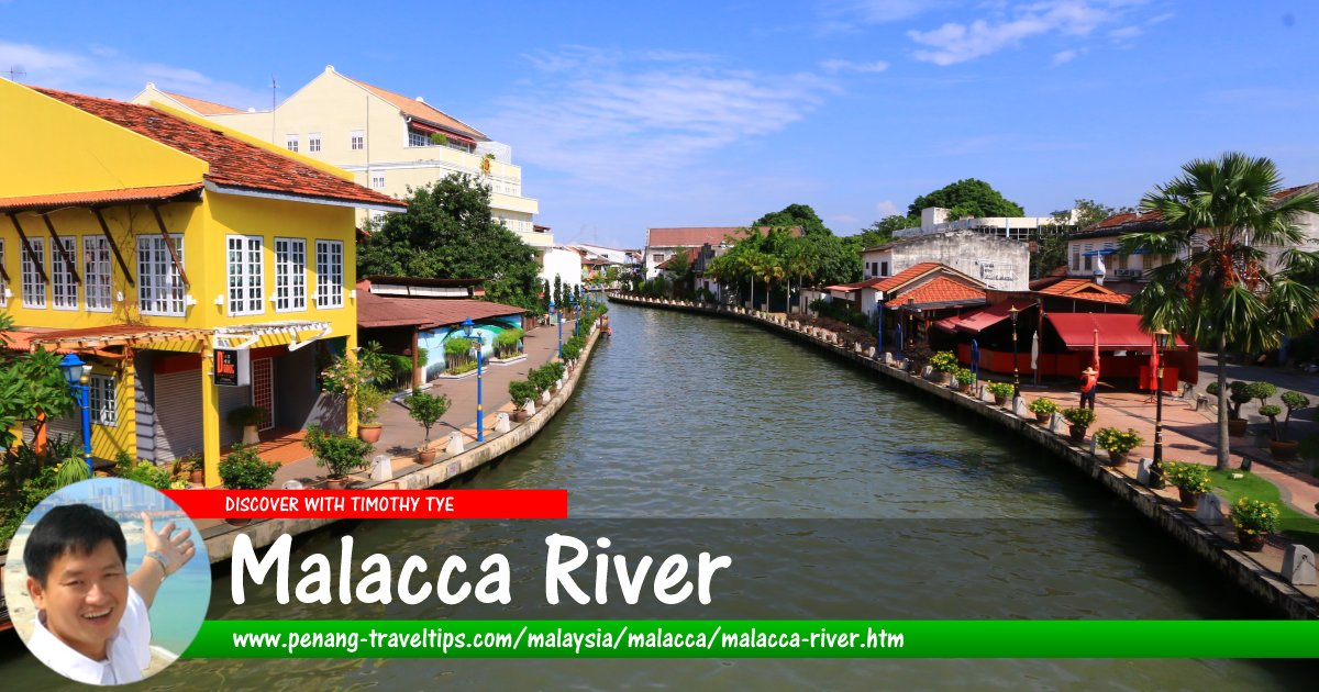
 Malacca River (9 August, 2017)
Malacca River is the waterway that runs through the heart of Malacca. It plays an important role in the development of Malacca. It was near the mouth of this river that the Hindu prince Parameswara of Sumatra settled and established his sultanate, at the beginning of the 15th century. His palace was built on the east bank of the river, at the foot of Malacca Hill (present day St Paul's Hill).
According to the History and Ethnography Museum of Malacca, prior to the founding of the Sultanate of Malacca, the estuary of the Malacca River was inhabited by a local tribe known as Orang Selat. They were mostly fishermen, and depended on the river as well as the sea for their livelihood. The riverbank was swampy with groves of gelam trees (Melaleuca leucadendron). The inland area was hilly, with a secondary jungle of Indian gooseberries (Emblica officinalis), which is known locally as Pokok Melaka.
Malacca River became an important conduit for trade. In addition, it was a source of fresh water. The river enabled access to the interior, and provided a means for forest produce such as rattan, canes, gums and resins, to be brought down to the market. Chinesen records, documented through the visit of Admiral Cheng Ho, describe the palace of Parameswara at the foot of a hill.
The Portuguese was able to conquer Malacca by seizing control of the river; to do this they burned the bridge across it.
In the 19th century, the wealthy Straits Chinese bought properties on the northwest bank of the river, along roads such as Heeren and Jonker Streets. These Chinese households are urban, built of bricks, are uniform and numbered, and constrast sharply with the traditional kampung houses of the Malays.
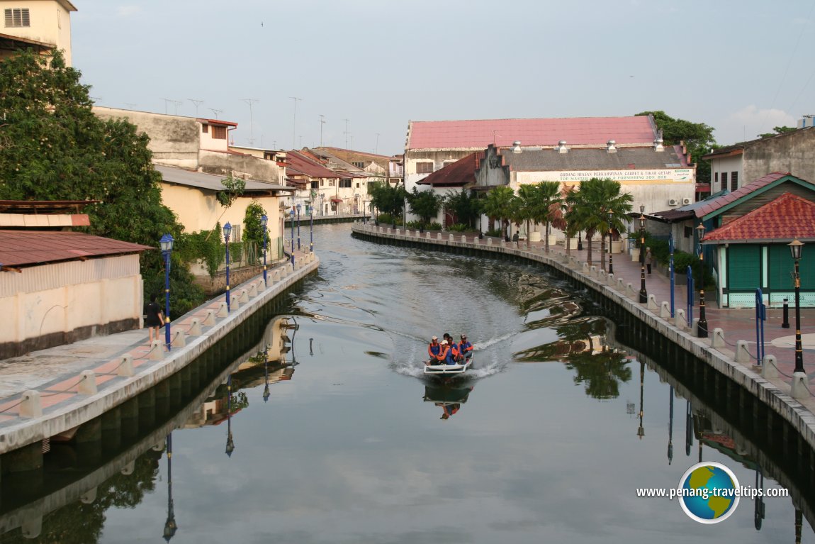
 Motorboat on the Malacca River (2 May, 2009)
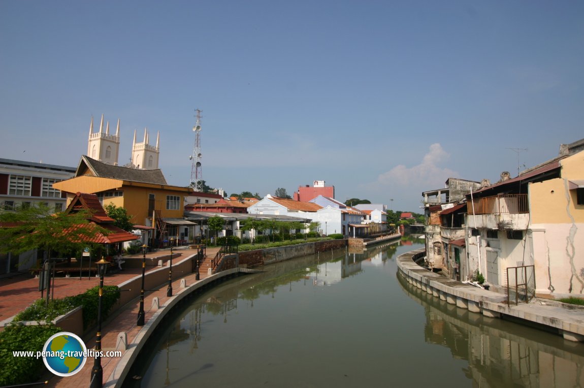
 Malacca River (11 July, 2005)
Today, the Malacca River has been cleaned up and rehabilitated. Smart looking (and underused) cafes line its banks. There is also a Malacca River boat ride. The ride takes 45 minutes. The fare, at time of writing, is RM7 for adults and RM3 for children. The tour starts at the Malacca River Boat Jetty near the Dutch Square (Town Square). This boat ride is now quite famous, having even appeared in the American movie "Entrapment" in 1998.
Due to tidal conditions, the boat ride is only available during high tide, so visitors are advised to check on this beforehand. Furthermore, the ride will only proceed when there are at least 8 passengers. The ride takes you along the river from the mouth all the way to Kampung Morten, covering a distance of 10 km.
As you cruise up the river, you will be able to see old shop houses along its banks. These shophouses have their warehouses, called godowns (after the Malay word gudang), built at their back, so that goods can unloaded directly from the river into them. Up until 2001, it was still possible to see boats unloading timber from Indonesia. Since 2002, these barter trade activities have been shifted elsewhere, and the river is now maintained solely for tourism purposes.
 Malacca River (11 July, 2005)
After the Malacca Bridge near the Dutch Square, the second bridge you will pass under is the Chan Boon Cheng Bridge. Originally, a steel fabricated bridge built in 1908 linked the old quarters of Chinatown (called Kampung Pantai) on the west bank of the river to Jalan Bunga Raya, the road leading into the new sector of Malacca New Chinatown (east bank). In 1963, a new concrete bridge was built to replace the steel one, and that's the bridge you would see today. During the Japanese Occupation, from 1942 to 1945, the Japanese forces placed the beheaded heads of their victims at the foot of this bridge as a warning to the Malacca community to toe the line.
After the Chan Boon Cheng Bridge, the next bridge across the river is a foot bridge which the locals call the Ghostbridge of Malacca. It links Kampung Pantai with Kampung Jawa. How it got the name remains a mystery.
Further on, another pedestrian bridge called the Old Market Bridge can be seen. This bridge links Kampung Hulu with the former Central Market and Jalan Kee Ann. Fishing boats are berthed here. From 1930's until 1991, the Malacca Central Market was located on the right bank of the river. Fishing boats unload their catches here. Unfortunately, the Victorian style Central Market was demolished in the 1990's, and the market shifted further upstream. The restaurant which appeared in a scene in the 1998 Hollywood movie "Entrapment" can be seen here. This riverside restaurant is just before the pedestrian footbridge. Local Chinese cuisine is cooked to order.
A short distance from the former Central Market is the Jalan Hang Tuah Bridge. It links Jalan Munshi Abdullah with Jalan Hang Tuah. The Cathay Cinema used to be located right at the bank of the river but due to changing public viewing habits, it was closed down. On the left bank of the river is the Express Bus Terminal, where visitors can get buses to various places in Malaysia and Singapore.
Just before arriving at Kampung Morten, you can see the ruins and columns of the "Church of Rosario" on the right side of the river. The ruins are very near to the St.Peter's Church which was built in the 1710.
The final sight before heading back on your cruise is the famous "Kampung Morten" on the left bank. This is a typical Malay kampung or village. Upon reaching the village, the river boat makes a U-turn and heads back to the jetty. The last bridge over the Malacca River that you will cross is the Sungei Melaka Bridge. Opened in June 2001, it crosses the Malacca River mouth near the river boat Jetty.
Map of Malacca River
Resources
Discover Malacca; list of Rivers in Malaysia
 Latest updates on Penang Travel Tips
 Discover with Timothy YouTube Channel
 PG Food Channel
 Learn Penang Hokkien YouTube Channel
 SojiMart Videos
Latest from Discover with Timothy: Gurney Bay - what to see and do there
About this website

Hello and thanks for reading this page. My name is Timothy and my hobby is in describing places so that I can share the information with the general public. My website has become the go to site for a lot of people including students, teachers, journalists, etc. whenever they seek information on places, particularly those in Malaysia and Singapore. I have been doing this since 5 January 2003, for over twenty years already. You can read about me at Discover Timothy. By now I have compiled information on thousands of places, mostly in Peninsular Malaysia and Singapore, and I continue to add more almost every day. My goal is to describe every street in every town in Malaysia and Singapore.
Robbie's Roadmap
- Episode 1: Robbie's Journey to Financial Freedom
- Episode 2: Lost in America
- Episode 3: The Value of Money
- Episode 4: The Mentor
- Episode 5: The Thing that Makes Money
- Episode 6: The walk with a Billionaire
- Episode 7: The Financial Freedom Awakening
- Episode 8: Meet Mr Washington
- Episode 9: The Pizzeria Incident
Copyright © 2003-2024 Timothy Tye. All Rights Reserved.


 Go Back