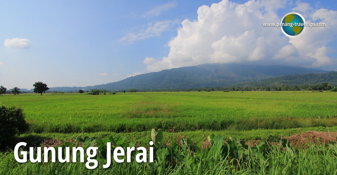
 Gunung Jerai, as seen from the roadside in Teroi, Kedah (25 July, 2015)
B. Melayu
Gunung Jerai (GPS: 5.79638, 100.43485) is a famous mountain in Kedah. It stands at a height of 1380m (4140ft) tall. Also called Kedah Peak in English, Gunung Jerai is a limestone peak in southern Kedah, and one of the most conspicuous peaks in Kedah as seen from the sea.
The height of Gunung Jerai provided ancient seafarers and traders a visible landmark to navigate. This is because the peak can be seen from a hundred miles out at sea. In ancient times, fire would be lit at the top of the mountain to assist ships in reaching Kedah.
Map of Gunung Jerai
Accommodtion on Gunung Jerai
- The Regency Jerai Hill Resort (GPS: 5.79668, 100.43558)

Sights and places of interest on Gunung Jerai
- Agaricles Biotech Organic Farm (GPS: 5.79489, 100.43655)

- Hutan Lipur Sungai Teroi (GPS: 5.80631, 100.43215)

- Masjid Gunung Jerai (GPS: 5.79718, 100.43621)

- Muzium Perhutanan Gunung Jerai (GPS: 5.80566, 100.43519)

- Telaga Tok Sheikh (GPS: 5.79539, 100.43743)

 Gunung Jerai, as seen from SuperStar Libra in the North Channel (30 September, 2017)
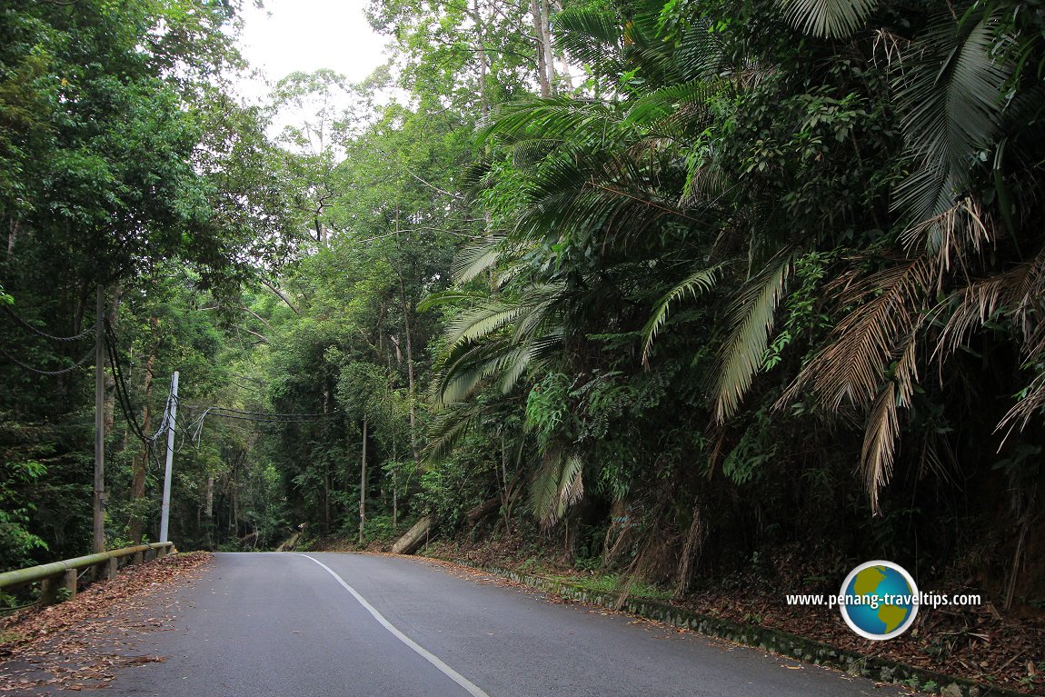 The road up Gunung Jerai (25 July, 2003)
According to Dato' V. Nadarajan in his book Bujang Valley, The Wonder that was Ancient Kedah (page 46), the name "Jerai" may have come from Chera, which is the third South Indian kingdom. This evolved to Serai and than to Jerai.
This resulted in an ancient settlement in Bujang Valley, a valley near the foot of the Gunung Jerai. The Bujang Valley today holds one of the richest concentration of ancient archaeological site in Malaysia.
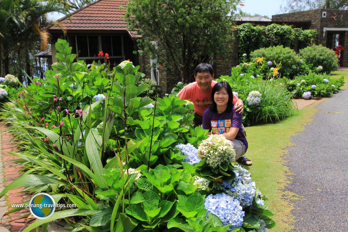 Tim and Chooi Yoke at The Regency Jerai Hills Resort (25 July, 2015)
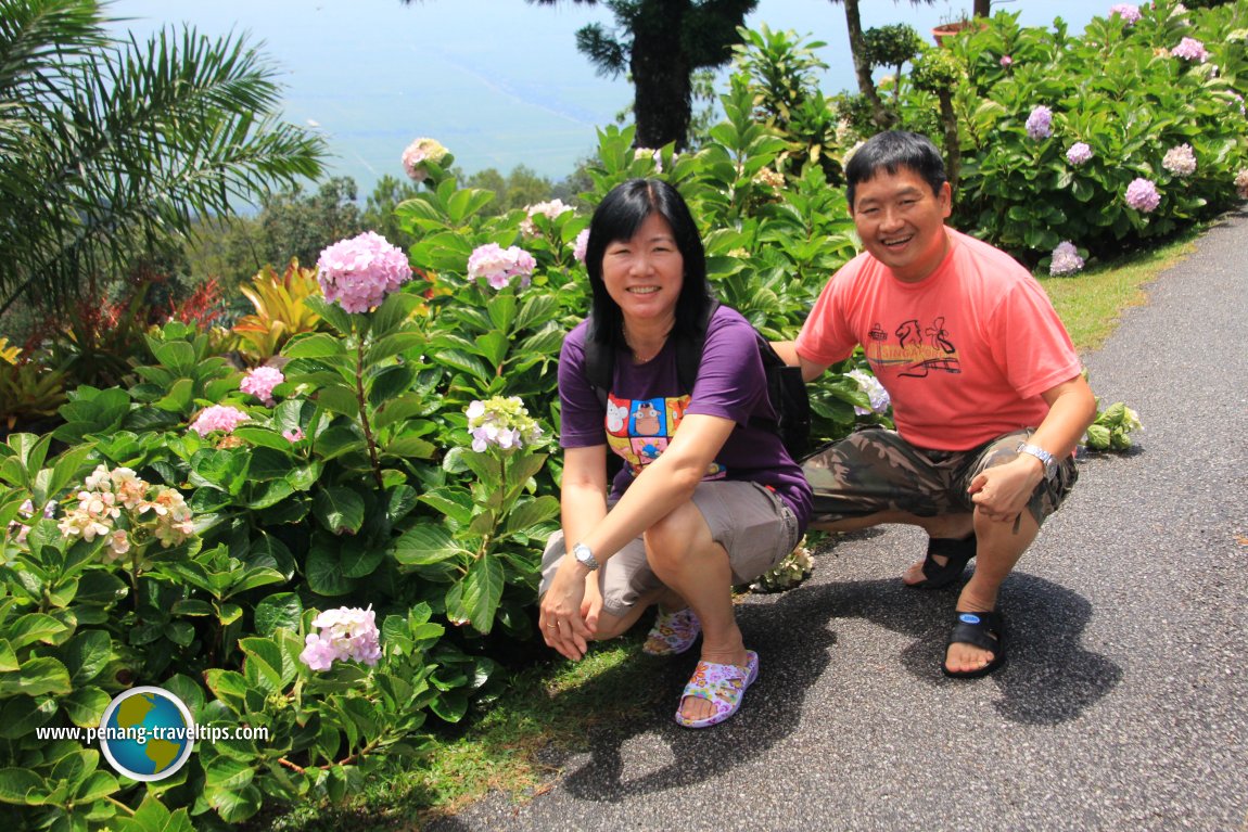 Tim and Chooi Yoke at The Regency Jerai Hills Resort (25 July, 2015)
 Tim and Chooi Yoke at The Regency Jerai Hills Resort (25 July, 2015)
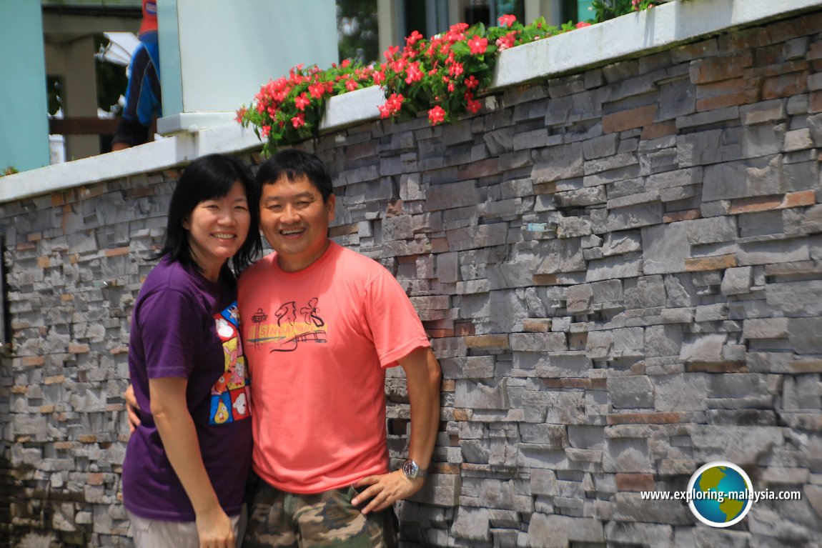 My wife and I at The Regency Jerai Resort (25 July, 2015)
360° View of Gunung Jerai on Google Maps Street View
The ancient traders regarded Gunung Jerai as a sacred peak. Legends abound, one of which was that of Raja Bersiong (Fanged King) who ruled over an ancient kingdom near the peak. Archaeological excavation uncovered the remnants of is supposed to be the "Temple of the Nineth Water Pool", believed to be the private bathing pool of Raja Bersiong.
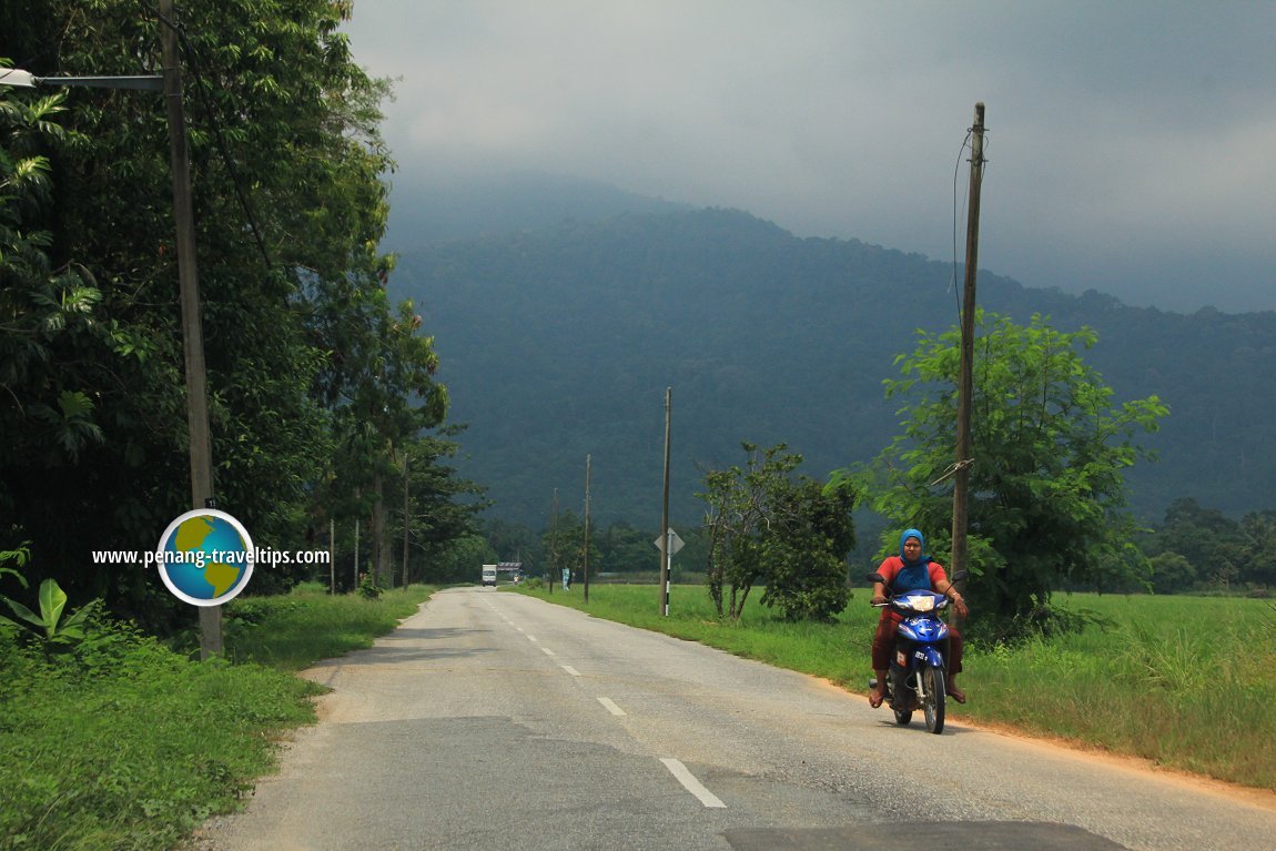 Gunung Jerai in the clouds. (17 July, 2015)
Gunung Jerai is still heavily forested. Hutan Lipur Sungai Teroi (Sungai Teroi Recreational Forest) is located within its slopes. There are picnic sites here where visitors can enjoy the refreshing air while enjoying the view from Gunung Jerai. The Forestry Museum near the peak provides a wealth of information on the regional flora.
The British army built trenches close to the peak of Gunung Jerai during the Second World War. These trenches, which are still in existence, snakes its way along the slope. However, they are in a bad state, as no concerted effort was taken to preserve them. Moreover, as with many resort areas in Malaysia, littering and poor civic-mindedness of the visitors continue to be a major problem. It is common to find rubbish littering the picnic areas. For nature lovers, it is best to explore the less frequented areas, where one can appreciate the natural beauty without having to confront undisposed trash.
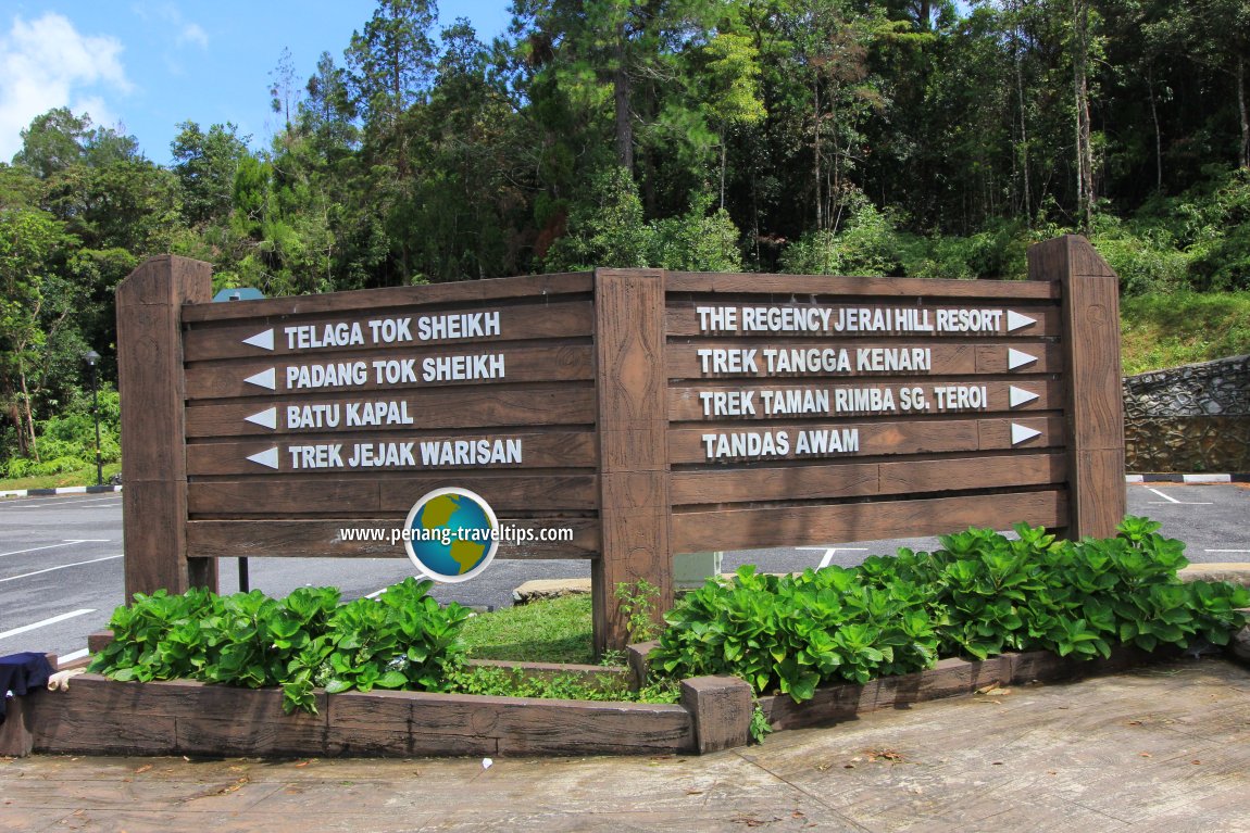 Directional signs on reaching Gunung Jerai (25 July, 2015)
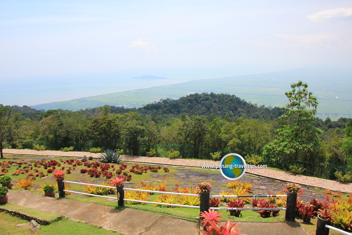 The view from Gunung Jerai (25 July, 2015)
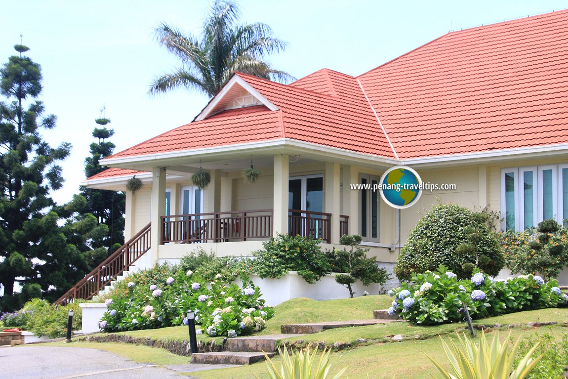 The Regency Jerai Resort at Gunung Jerai (25 July, 2015)
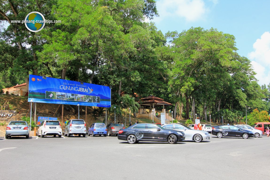 Car park at the foot of Gunung Jerai (25 July, 2015)
Gunung Jerai on Google Street View
The road up Gunung JeraiGetting to Gunung Jerai
Whether you are coming from Penang or Alor Setar, the most straightforward way to reach Gunung Jerai is to take the North South Expressway to Exit 173. At the first traffic lights, turn left in the direction of Gurun and Yan (not in the direction of Jeniang and Sik), as shown on the street view below.This takes you right to the heart of Gurun, where you go over a railway overpass to another traffic junction. Turn right. Go a short distance, and watch for the Gunung Jerai signboard as shown below.
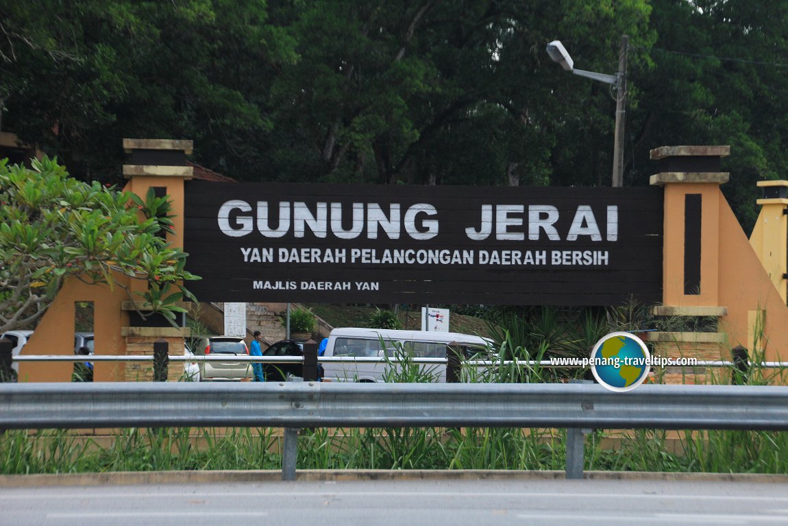 Gunung Jerai signboard along Federal Route 1 (17 July, 2015)
Gunung Jerai is  on the map of the Hills & Mountains of Kedah
Back to Discover Kedah mainpage; list of Mountains in Kedah and Mountains in Malaysia
 Latest updates on Penang Travel Tips
 Discover with Timothy YouTube Channel
 PG Food Channel
 Learn Penang Hokkien YouTube Channel
 SojiMart Videos
Latest from Discover with Timothy: Gurney Bay - what to see and do there
About this website

Hello and thanks for reading this page. My name is Timothy and my hobby is in describing places so that I can share the information with the general public. My website has become the go to site for a lot of people including students, teachers, journalists, etc. whenever they seek information on places, particularly those in Malaysia and Singapore. I have been doing this since 5 January 2003, for over twenty years already. You can read about me at Discover Timothy. By now I have compiled information on thousands of places, mostly in Peninsular Malaysia and Singapore, and I continue to add more almost every day. My goal is to describe every street in every town in Malaysia and Singapore.
Robbie's Roadmap
- Episode 1: Robbie's Journey to Financial Freedom
- Episode 2: Lost in America
- Episode 3: The Value of Money
- Episode 4: The Mentor
- Episode 5: The Thing that Makes Money
- Episode 6: The walk with a Billionaire
- Episode 7: The Financial Freedom Awakening
- Episode 8: Meet Mr Washington
- Episode 9: The Pizzeria Incident
Copyright © 2003-2024 Timothy Tye. All Rights Reserved.


 Go Back