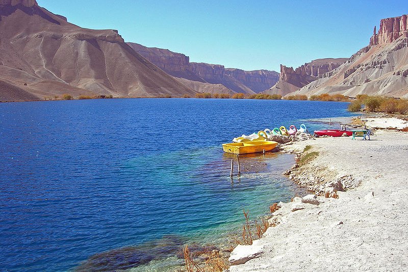
 The shore of Band-e Amir, a picturesque lake in Afghanistan
Source: http://commons.wikimedia.org/wiki/File:Lake_Band-e-Amir.jpg
Author: Carl Montgomery

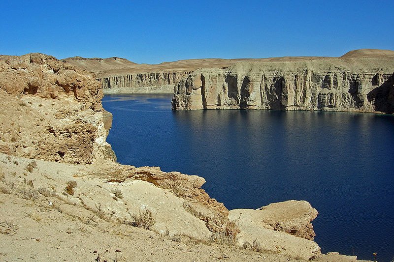
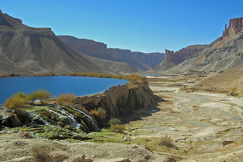
Band-e Amir is one of the few lakes in the world created by travertine deposits. The area became Afghanistan's first national park in 2009, and are on the tentative list as World Heritage Site of Afghanistan.
The name Band-e Amir means "Commander's Dam". The name refers to Imam Ali, the first imam of the Shia Muslims and the fourth Caliph of the Sunni Muslims. Band-e Amir comprises six lakes namely Band-e Gholaman (Slave Lake), Band-e Qambar (Caliph Ali's Slave Lake), Band-e Haibat (Grandiose Lake), Band-e Panir (Cheese Lake), Band-e Pudina (Wild Mint Lake), and Band-e Zulfiqar (Lake of the Sword of Ali). Of the six, Band-e Haibat is the biggest and deepest, reaching a depth of 150 meters.
 The blue lake of Band-e Amir
Source: http://commons.wikimedia.org/wiki/File:Lake_Band-e-Amir,_Afghanistan_b.jpg
Author: Carl Montgomery

Located to the southeast of the town of Bamyan is Band-e Azhdahar, another lake created by travertine.
How to visit Band-e Amir?
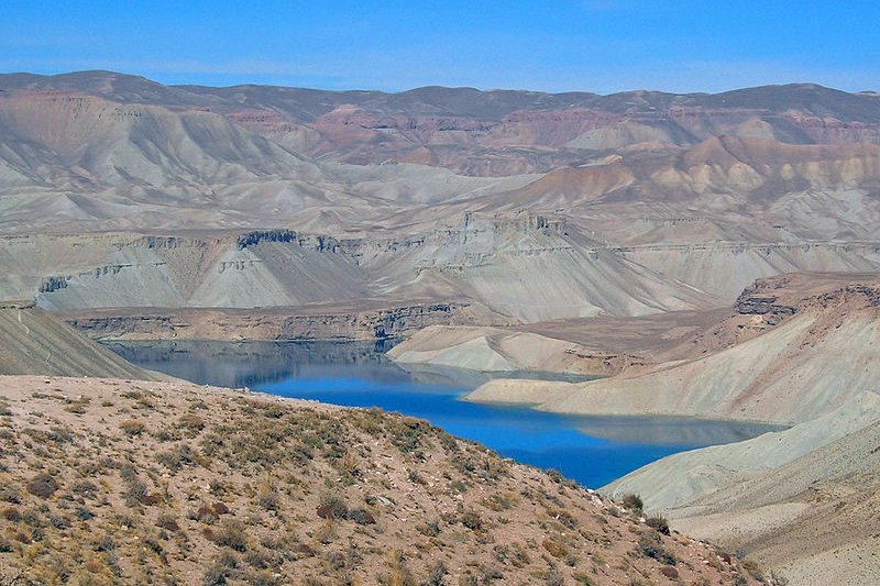
The lakes of Band-e Amir attract tourists particularly from late spring to summer. They are not suitable to be visited in winter, as the high elevation causes temperatures to drop to -20°C during that period. At the moment, tourist infrastructure is basic. Visitors will see that the area was mined by the local militia and the Taliban when the controlled it. Lack of local maintenance and increase in visitors have all posed a threat to the fragile ecology of Band-e Amir. In 2008, the Afghan government banned the use of boats with gasoline engines on the lakes, in an attempt to reduce pollution. A glimpse of Band-e Amir
Source: http://commons.wikimedia.org/wiki/File:Band-e_Amir_001.jpg
Author: Carl Montgomery

 Scenery at Band-e Amir
Source: http://commons.wikimedia.org/wiki/File:Lake_Band-e-Amir,_Afghanistan_d.jpg
Author: Carl Montgomery

 Latest updates on Penang Travel Tips
 Discover with Timothy YouTube Channel
 PG Food Channel
 Learn Penang Hokkien YouTube Channel
 SojiMart Videos
 Share your travels and/or ask a travel-related question
Join the Penang Travel Tips Facebook Group to share photos, tips and anything related to your travels, or ask travel-related questions.
 Map of Roads in Penang
Looking for information on Penang? Use this Map of Roads in Penang to zoom in on information about Penang, brought to you road by road. Discover with Timothy
Let me take you to explore and discover Penang through my series of walking tours on YouTube. You may use these videos as your virtual tour guide. At the beginning of each video, I provide the starting point coordinates which you may key into your GPS, Google Maps or Waze, to be navigated to where I start the walk, and use the video as your virtual tour guide.Disclaimer
Please use the information on this page as guidance only. The author endeavours to update the information on this page from time to time, but regrets any inaccuracies if there be any.Latest from Discover with Timothy: Gurney Bay - what to see and do there
About this website

Hello and thanks for reading this page. My name is Timothy and my hobby is in describing places so that I can share the information with the general public. My website has become the go to site for a lot of people including students, teachers, journalists, etc. whenever they seek information on places, particularly those in Malaysia and Singapore. I have been doing this since 5 January 2003, for over twenty years already. You can read about me at Discover Timothy. By now I have compiled information on thousands of places, mostly in Peninsular Malaysia and Singapore, and I continue to add more almost every day. My goal is to describe every street in every town in Malaysia and Singapore.
Robbie's Roadmap
- Episode 1: Robbie's Journey to Financial Freedom
- Episode 2: Lost in America
- Episode 3: The Value of Money
- Episode 4: The Mentor
- Episode 5: The Thing that Makes Money
- Episode 6: The walk with a Billionaire
- Episode 7: The Financial Freedom Awakening
- Episode 8: Meet Mr Washington
- Episode 9: The Pizzeria Incident
Copyright © 2003-2024 Timothy Tye. All Rights Reserved.


 Go Back